

ArcGIS Earth
Free
Description
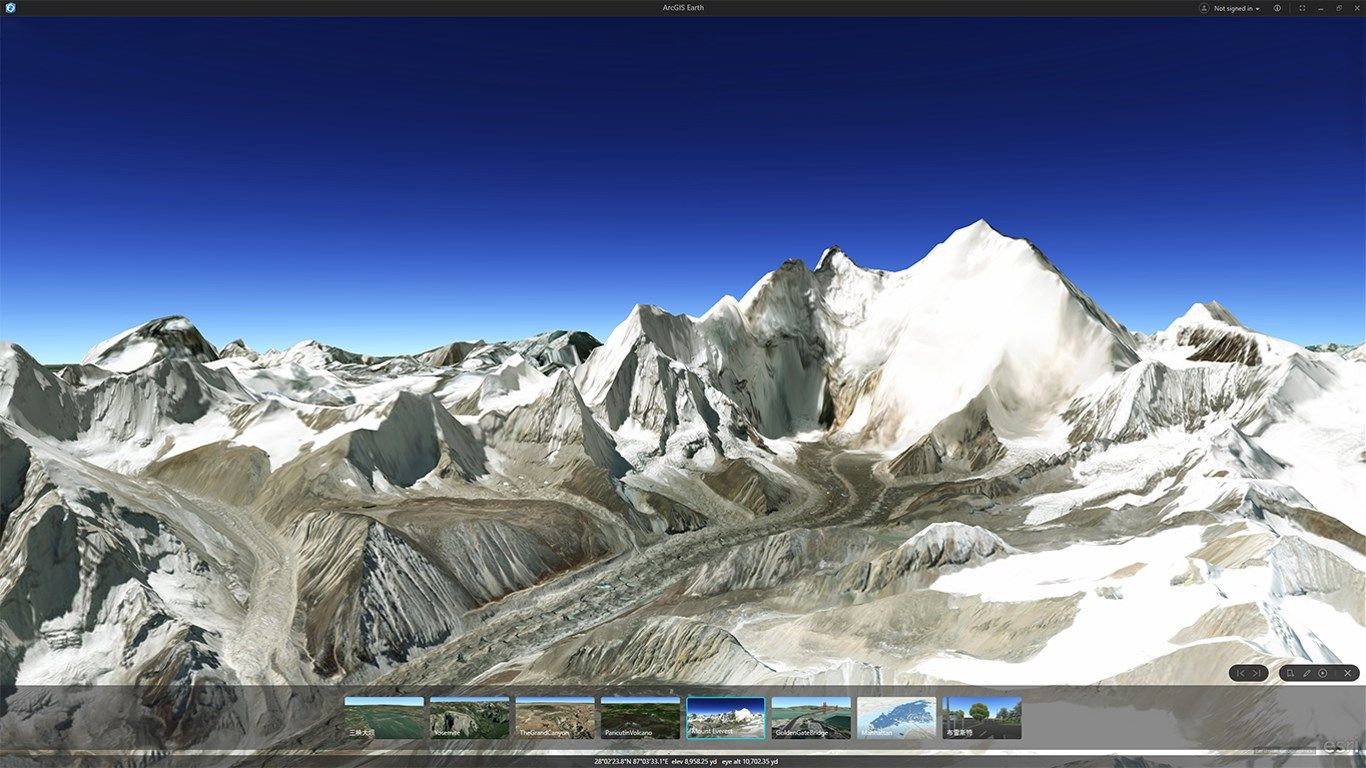
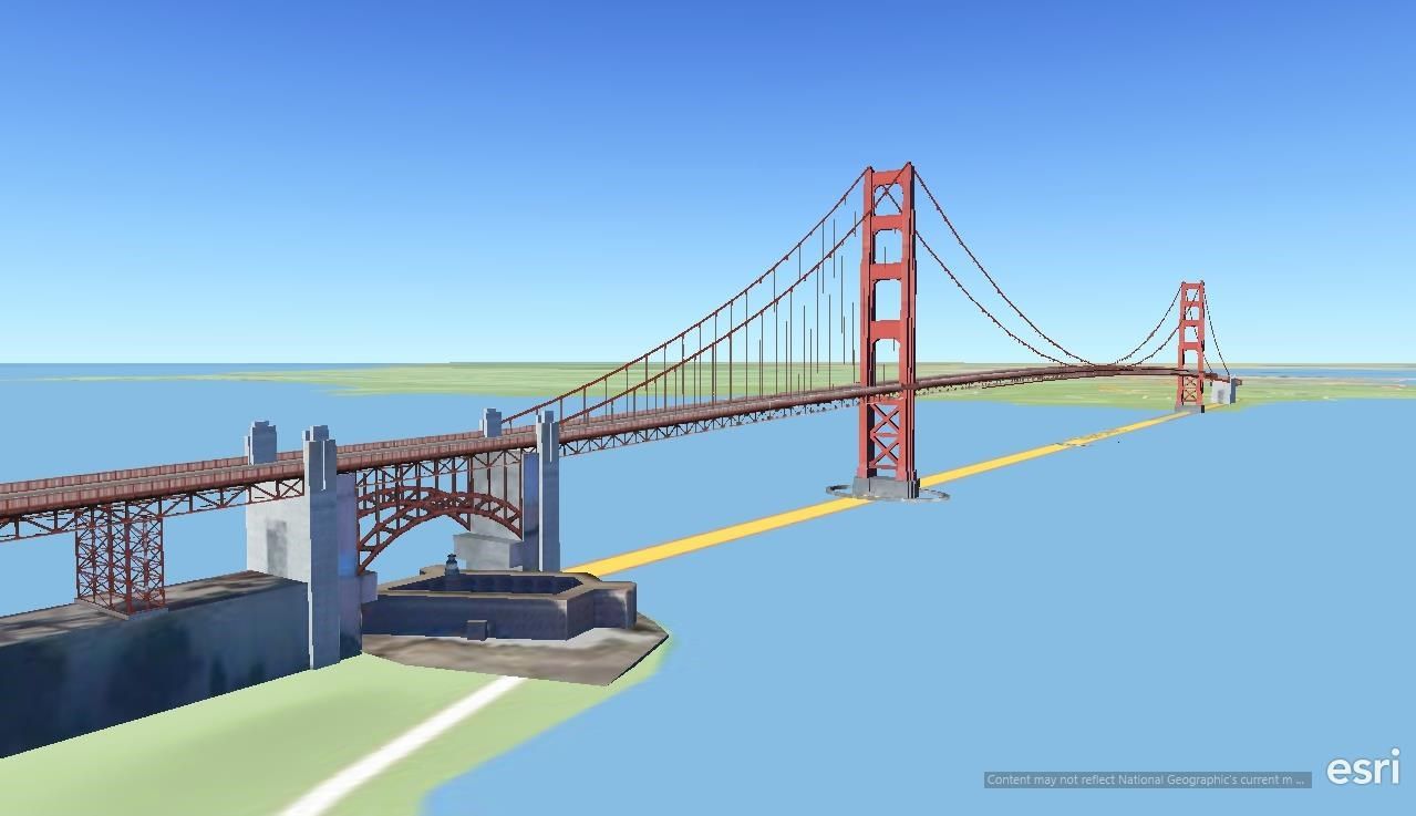
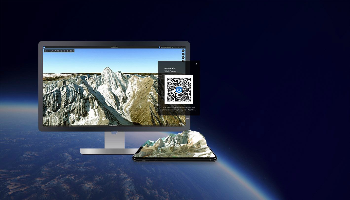
ArcGIS Earth is an interactive 3D experience to plan, visualize, and evaluate events on the globe. ArcGIS Earth provides situational awareness on desktop and mobile devices for improved decision-making. Ingest data in different formats, including 3D models; Keyhole Markup Language (KML), Keyhole Markup language Zipped (KMZ) files; TXT; and open services from ArcGIS or with a URL, to explore areas of interest in 3D. Manipulate KML in its entirety to understand changing circumstances. ArcGIS Earth is a free and easy-to-use tool to quickly fuse, manipulate, and collaborate with 3D data.
-
Navigate ArcGIS Earth with mouse, keyboard, or touch screen
-
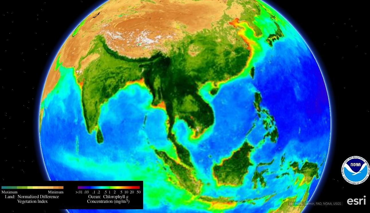
View various data formats in 3D, including KML and KMZ files, mobile scene packages, scene layer packages (for i3s layers) and ArcGIS services.
-
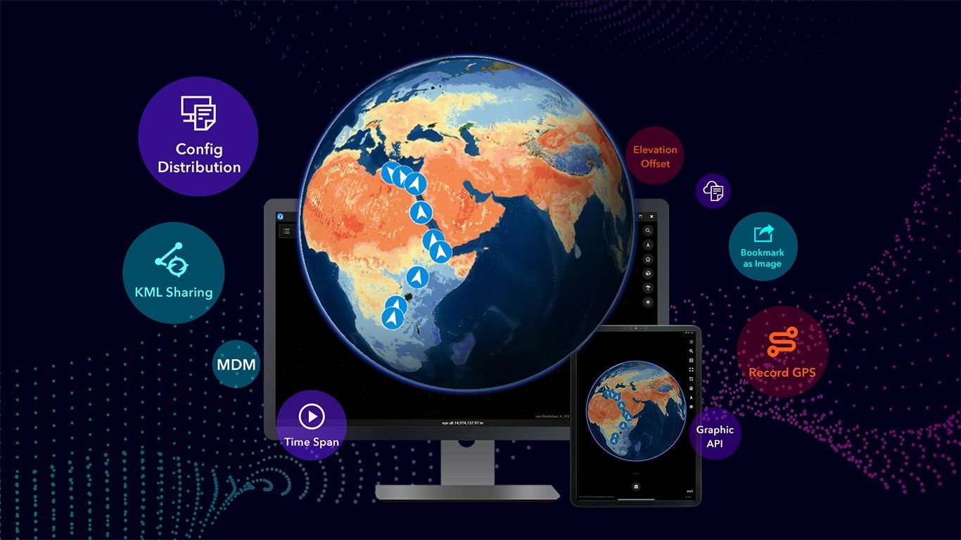
Add and manage portal connections
-
Search for places or addresses
-
Edit, draw and measure on the globe
-
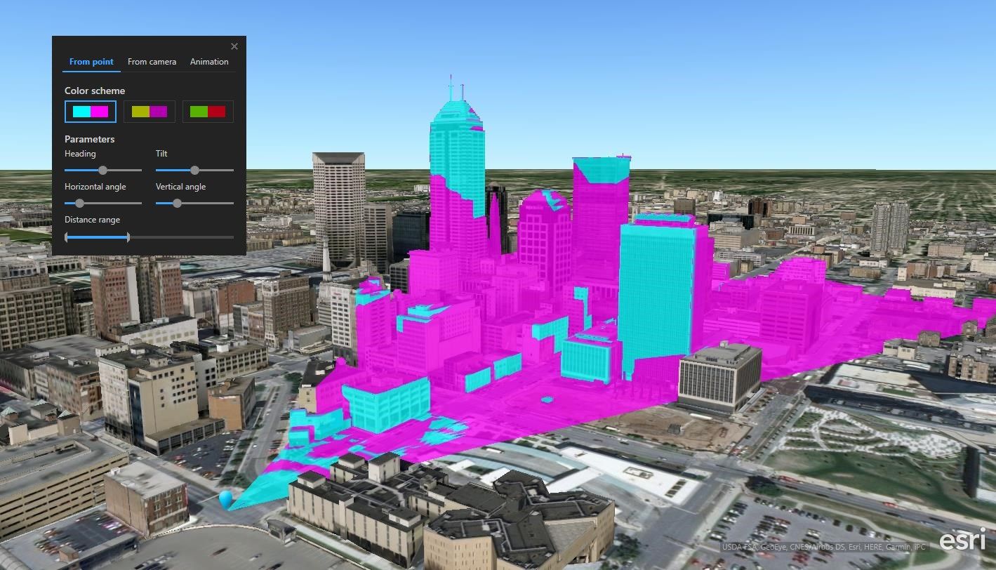
Perform interactive analysis
-
Share your work
-
Customize organizational configurations
Product ID:
9NCLGCQT5PG2
Release date:
2018-08-29
Last update:
2023-12-14