

arm360
Description
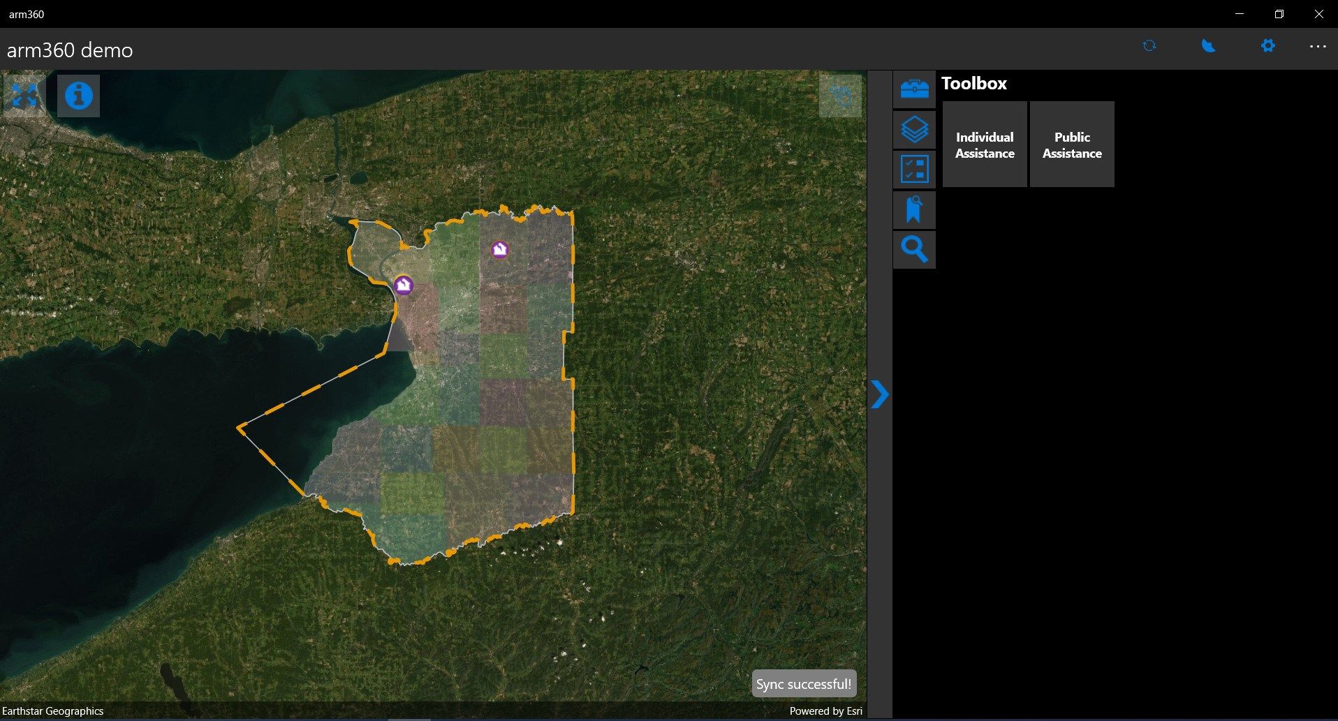
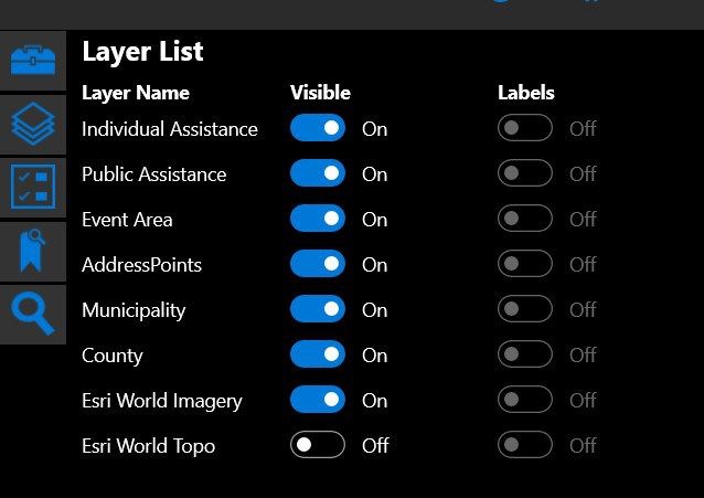
Arm360 is a GIS based data collection system.
Use maps anywhere to Assess (collect) data, Report observations and respond to events and upload your information to a shared Map (arm360).
Arm360 offers offline automation of data collection, allowing the user to field verify information, such as address or asset IDs.
This app is based on the Esri GIS system and requires the Arm360 administrator running at your agency for full capabilities.
-
Assess (collect) data using the map or GPS
-
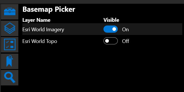
Download maps to your device and work offline
-
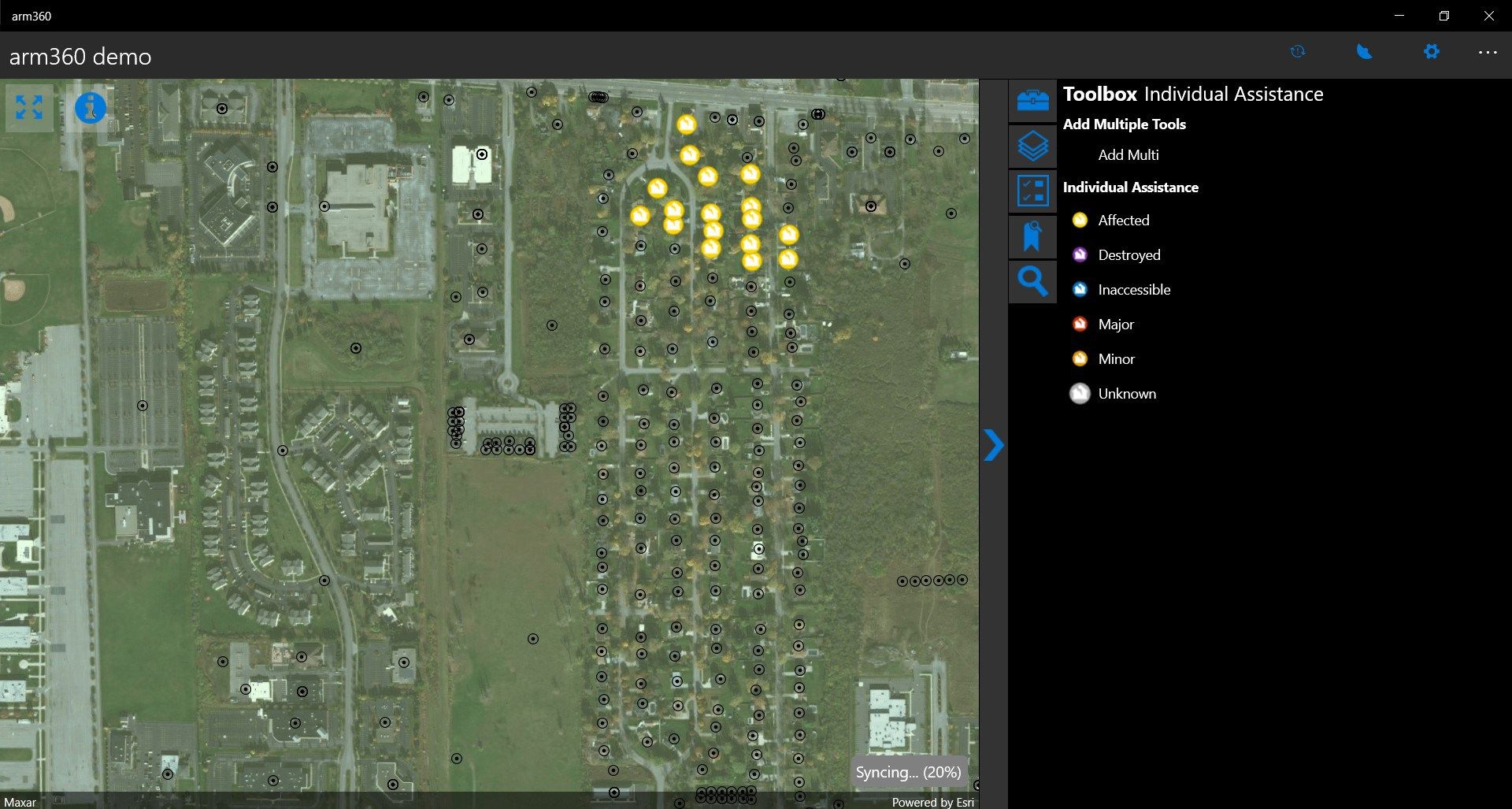
Collect points, lines, areas, and related data
-
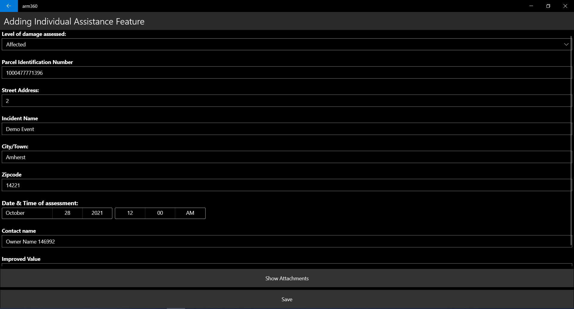
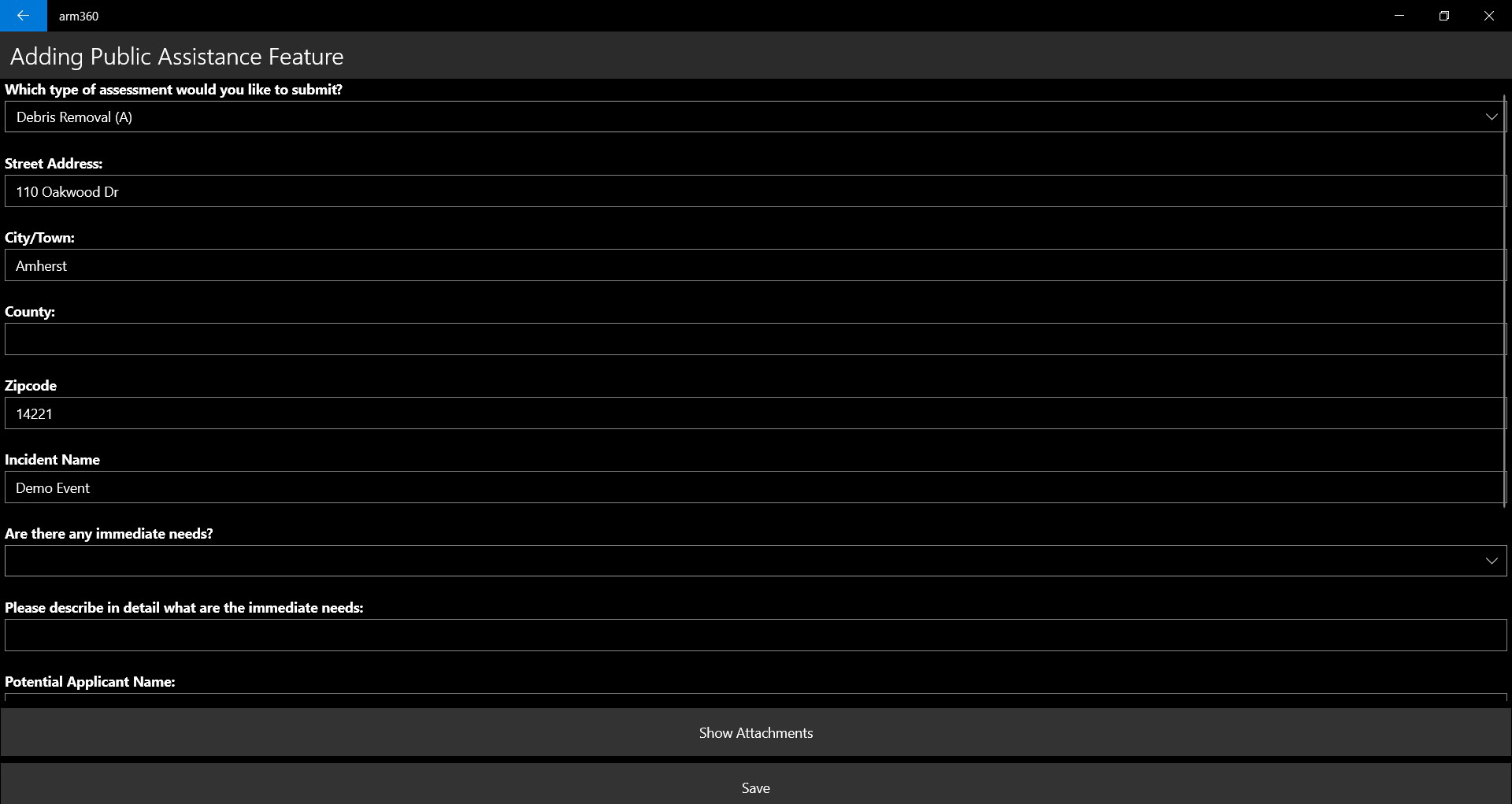
Fill out easy-to-use map and task driven forms
-
Attach photos to your features
-
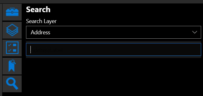
Search for places and features
-
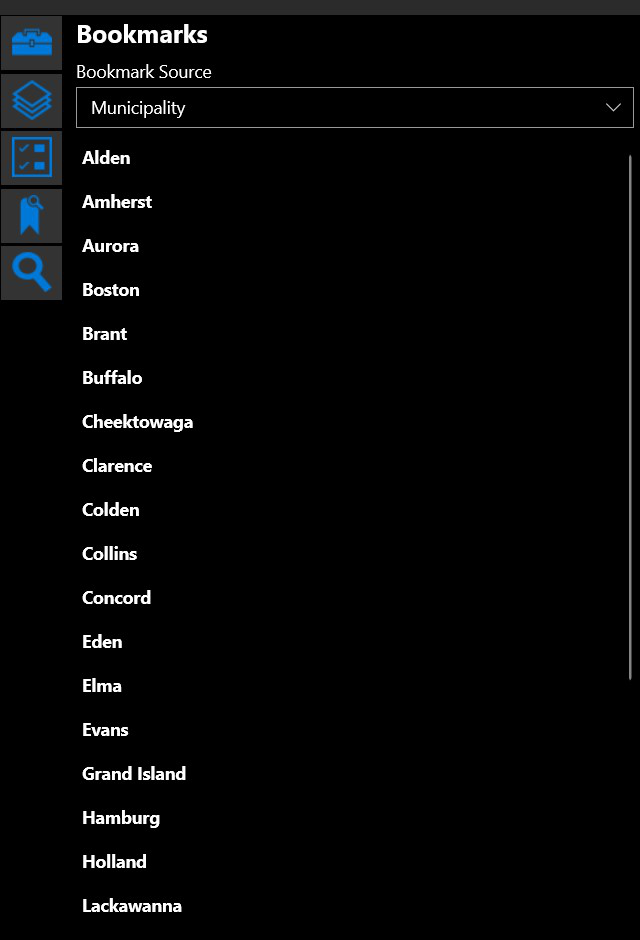
Track and report where you've been
-
Task specific tools
-
Automated data capture
-
See teammates' assessments for awareness and coordinated response
Product ID:
9NPVBHCLD8CD
Release date:
2021-10-28
Last update:
2022-10-10