

CAP Grid Search Map Tool
Description
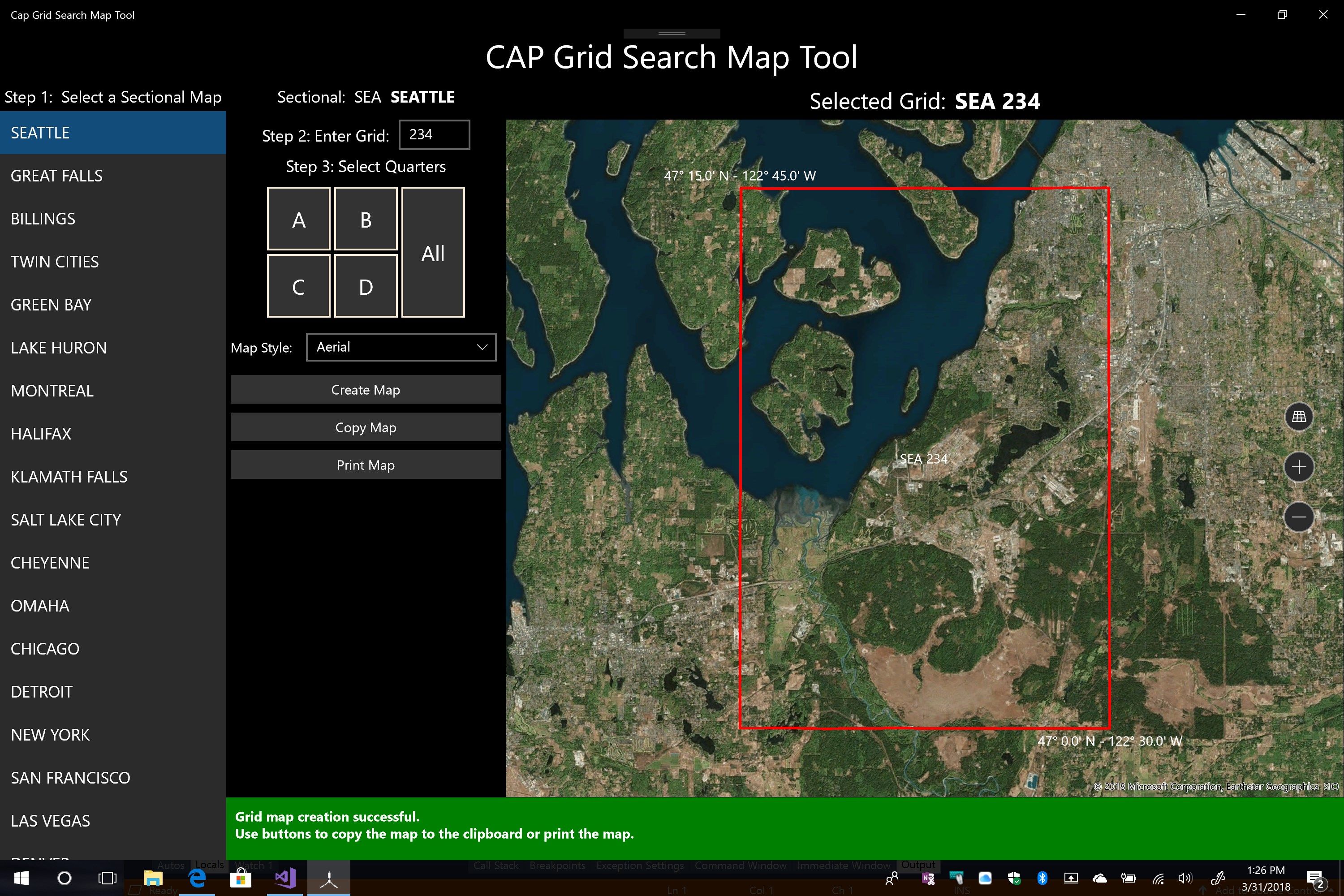
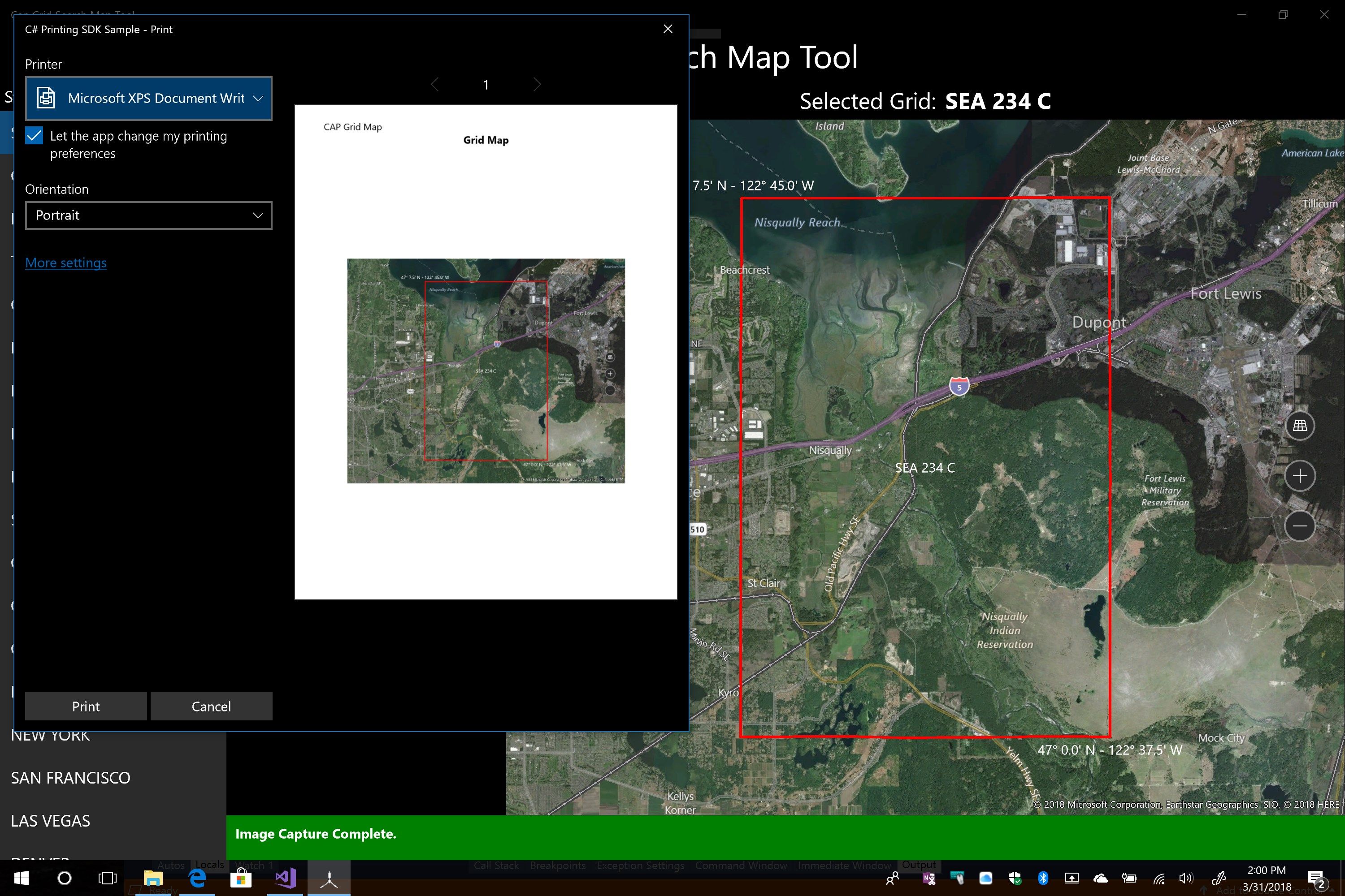
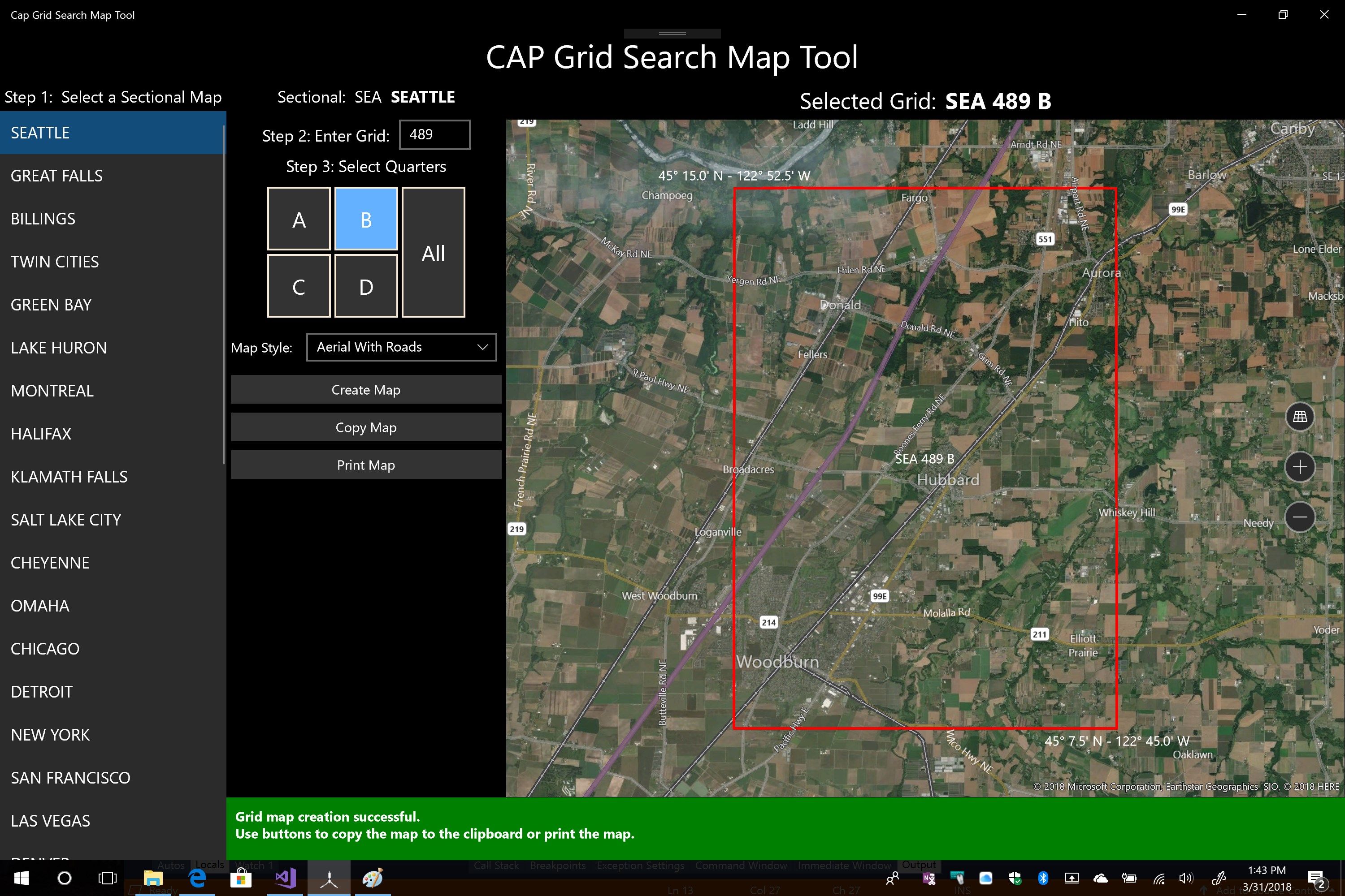
This tool allows users to create individual maps for any grid in the Continental US. Maps can be copied and pasted into other documents that support bid maps. The map can also be printed directly from the app. It also supports printing to PDF and XPS files as well as to OneNote.
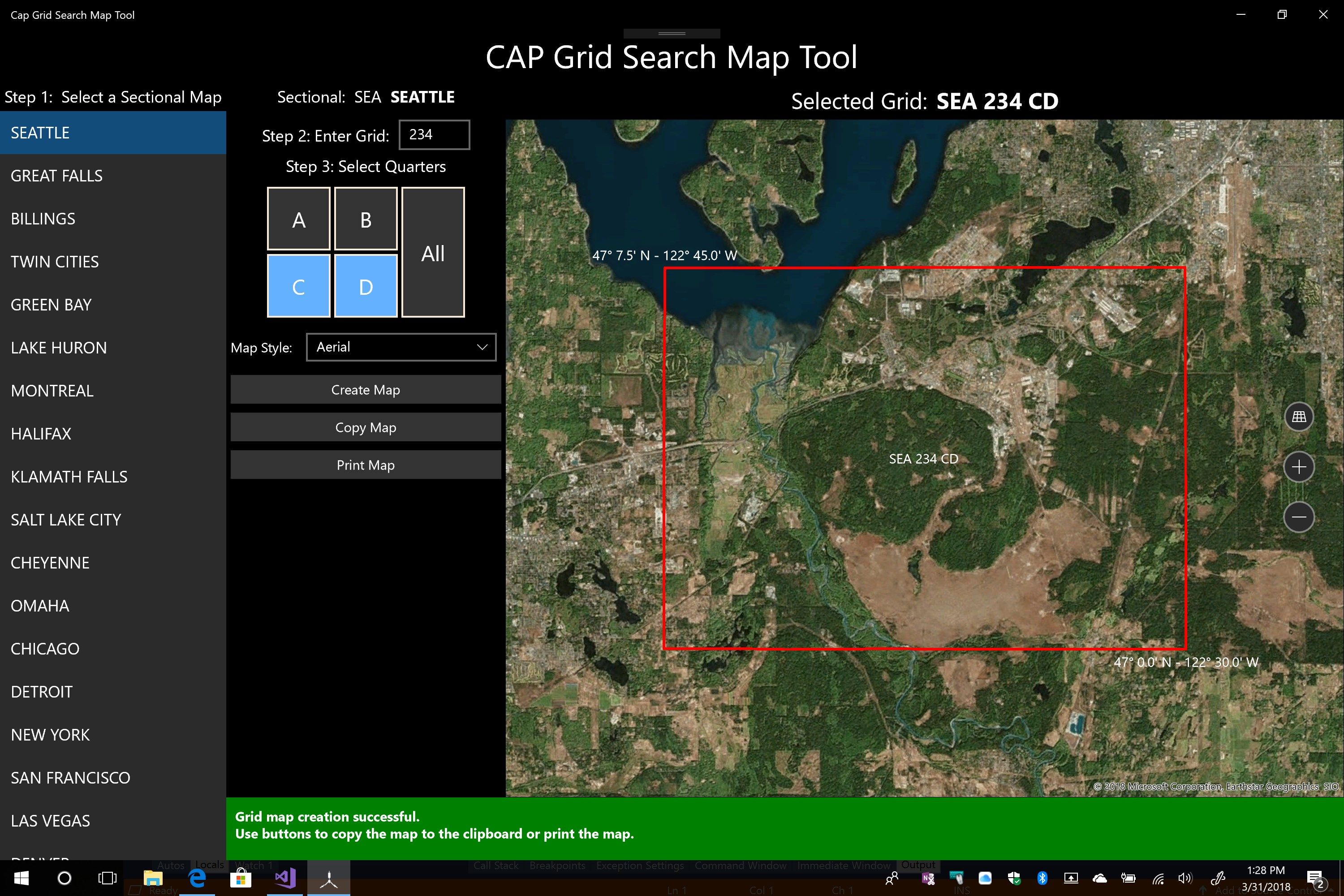
The tool supports full grid maps, quarter grids, and quarter grid pairs.
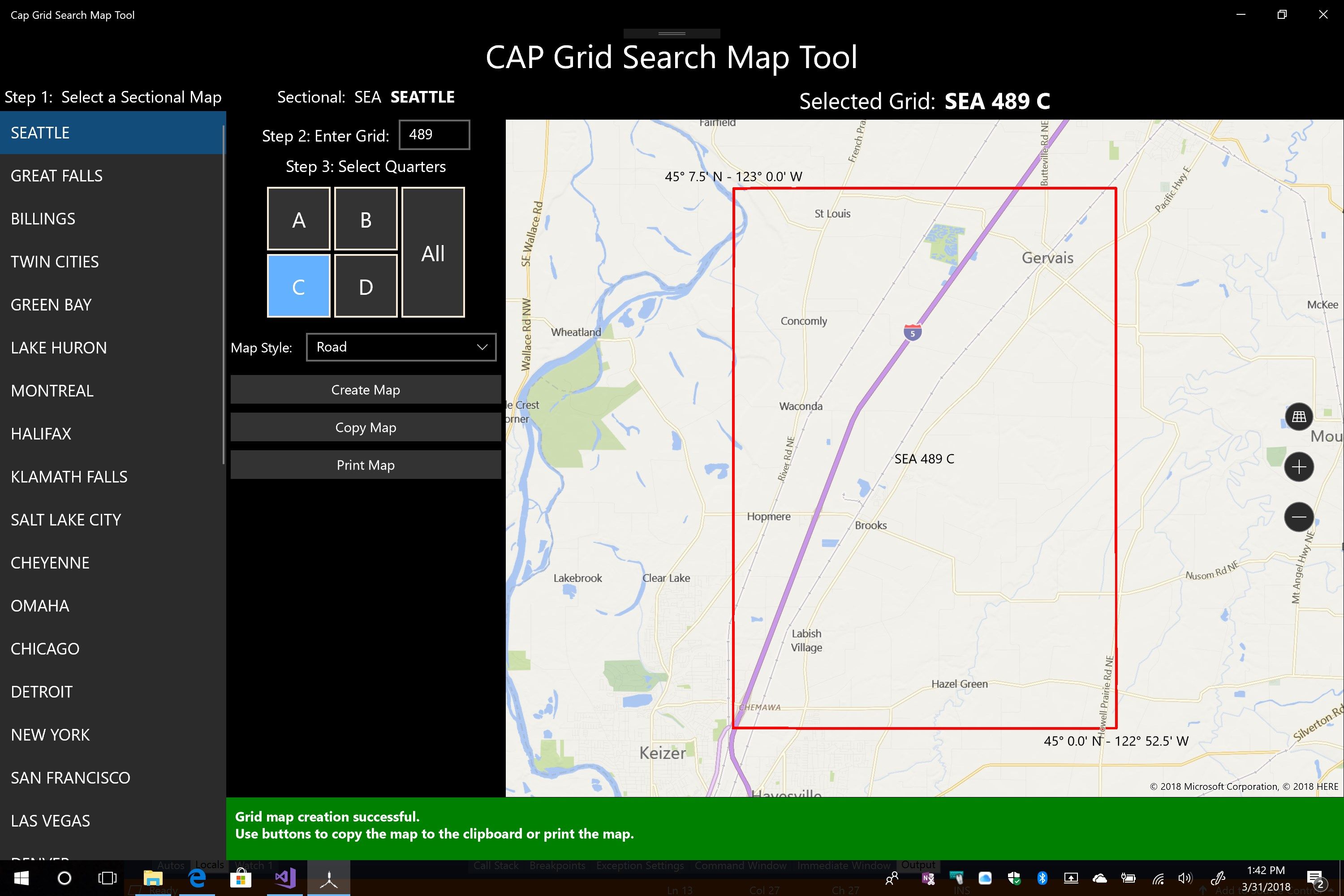
The Tool supports aerial, roads, aerial with roads, and terrain backgrounds.
These maps can be used by observers and scanners to visually locate grid corners and mark locations of interest.
Product ID:
9NV4JZH6XMFT
Release date:
2018-04-03
Last update:
2019-02-01