

Description
The FieldSeeker GIS for Invasive Plants cross-platform mobile app (CPMA) is an easy and convenient way for noxious weed and invasive plant control operations to record and view field activities related to chemical and mechanical plant treatments, plant assessments, plant occurrences, proposed treatment areas, and service requests.
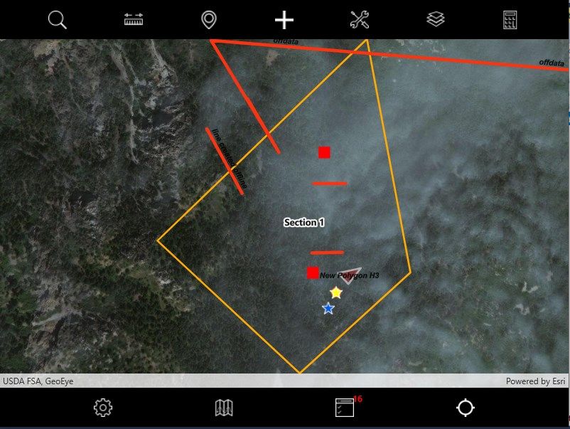
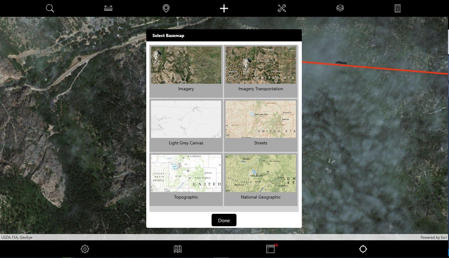
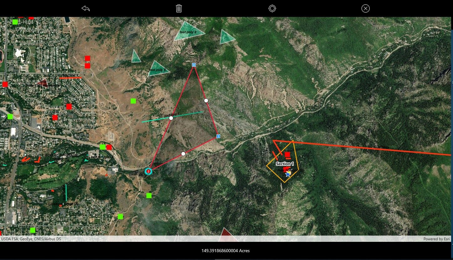
With FieldSeeker Mobile, field techs and supervisors can view and map locations and activities such as plant occurrences, plant assessments, mechanical and chemical treatments, tracks, proposed treatment areas, and miscellaneous activities; view additional map layers such as restricted areas and zones; select from multiple Esri basemaps; respond to service requests; attach pictures; get directions; take measurements; etc. Everything you need in a mobile app for noxious weed and invasive plant control field operations is included.
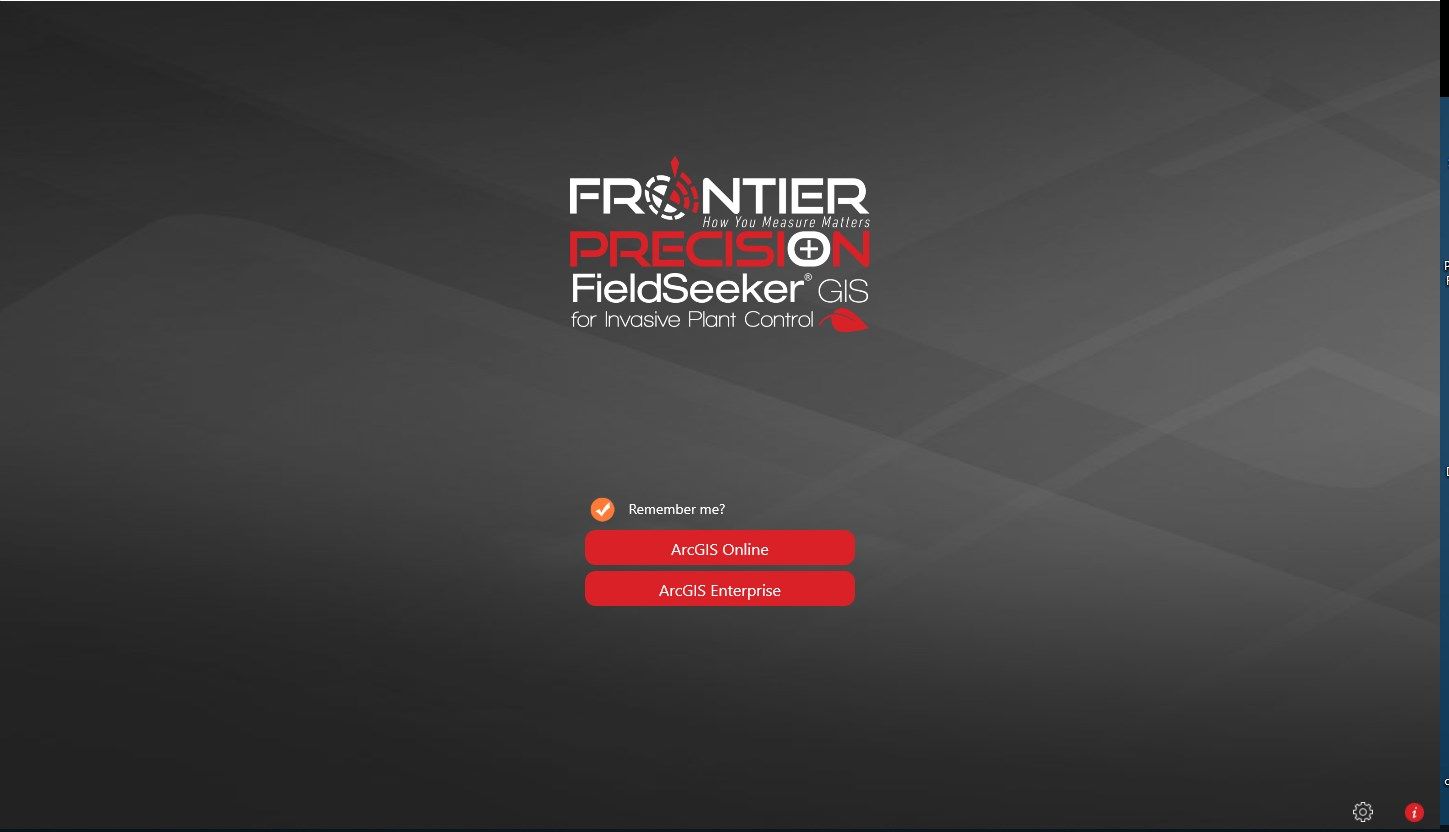
FieldSeeker Mobile is built using the Esri Runtime SDK for Xamarin 100.x. The mobile app is pointed to a test and demonstration service and is not intended for production use. To use in production, the app must be pointed to a licensed and configured FieldSeeker Mobile Webmap and feature service in ArcGIS Online.
-
Plant Occurrences
-
Plant Assessments
-
Chemical Treatments
-
Mechanical Treatments
-
Proposed Treatment Areas
-
Service Requests
-
Restricted Areas
-
Tracking
-
Product Inventory
-
Download Offline Data
-
Review Today's Work