

KLONK Map Measurement
Description
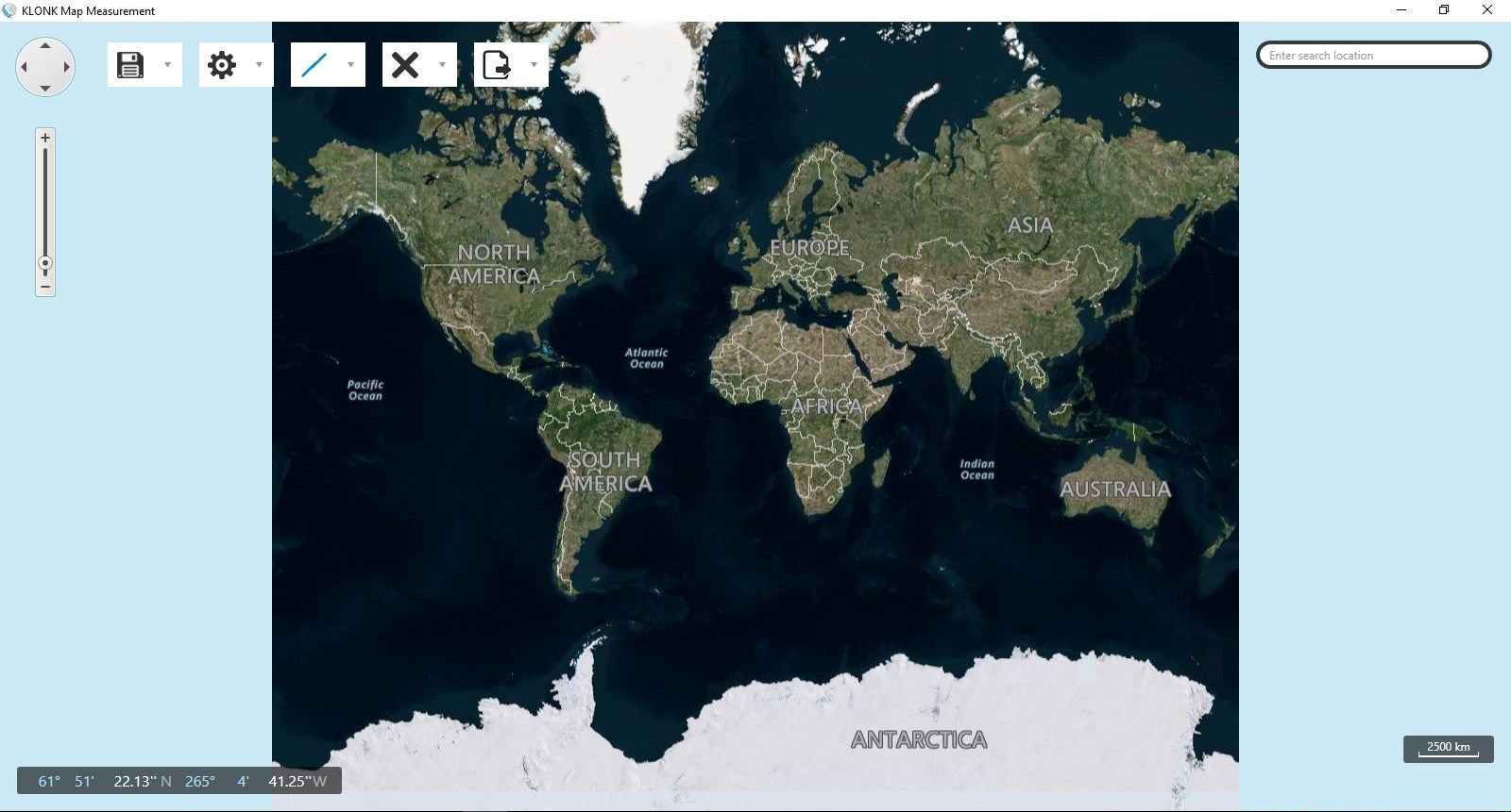
Map Measurement uses lines and shapes to check one or several distances and estimate sizes of different features on Earth. With Map Measurement, you can measure the length on the ground with a line or path, you can also measure areas using polygons. You can measure several different measurements on one map.
-
Measure distance between 2 points
-
Measure Area
-
Measure Lenth of a line
-
Export Measured Images
-
Store and Import Measurements
-
Share a measurement image on facebook
Product ID:
9NBLGGH6807V
Release date:
2017-10-26
Last update:
2022-08-24