

Description
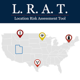
Are you looking to find a safer place to live or perhaps build a survival retreat? If so the Location Risk Assessment Tool can help (LRAT). LRAT surfaces information on 9 Key Categories for each state in the US.
Demographics, Taxes, Cost of Living, Food Production, Bio/Nuclear Hazards, Military Targets, Crime Rate, Self Defense, Weather Events
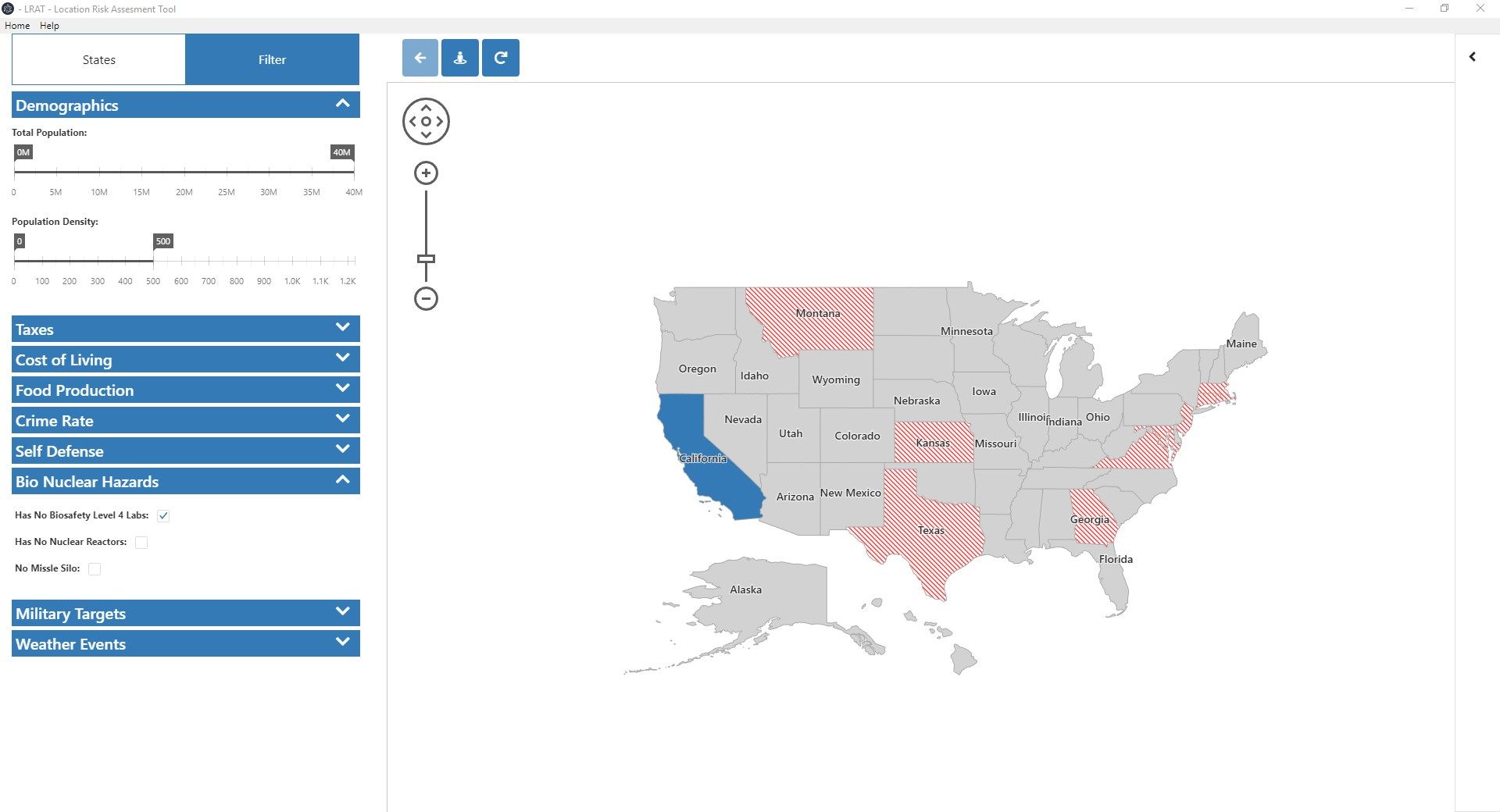
LRAT has a powerful Filtering tool that allows you to easily identify states based on multiple categories & criteria allowing you to analyze the data and determine the best state for your needs.
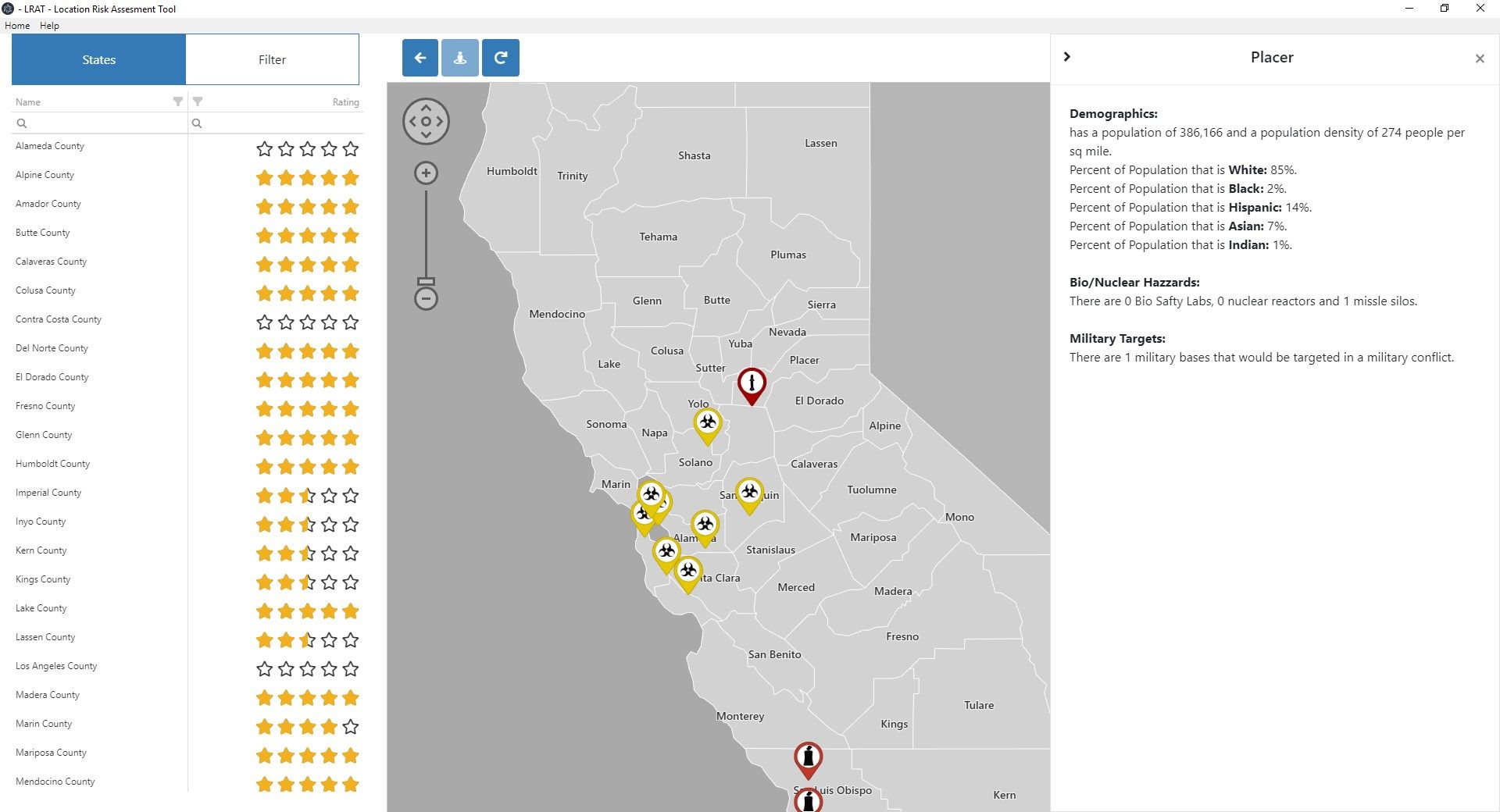
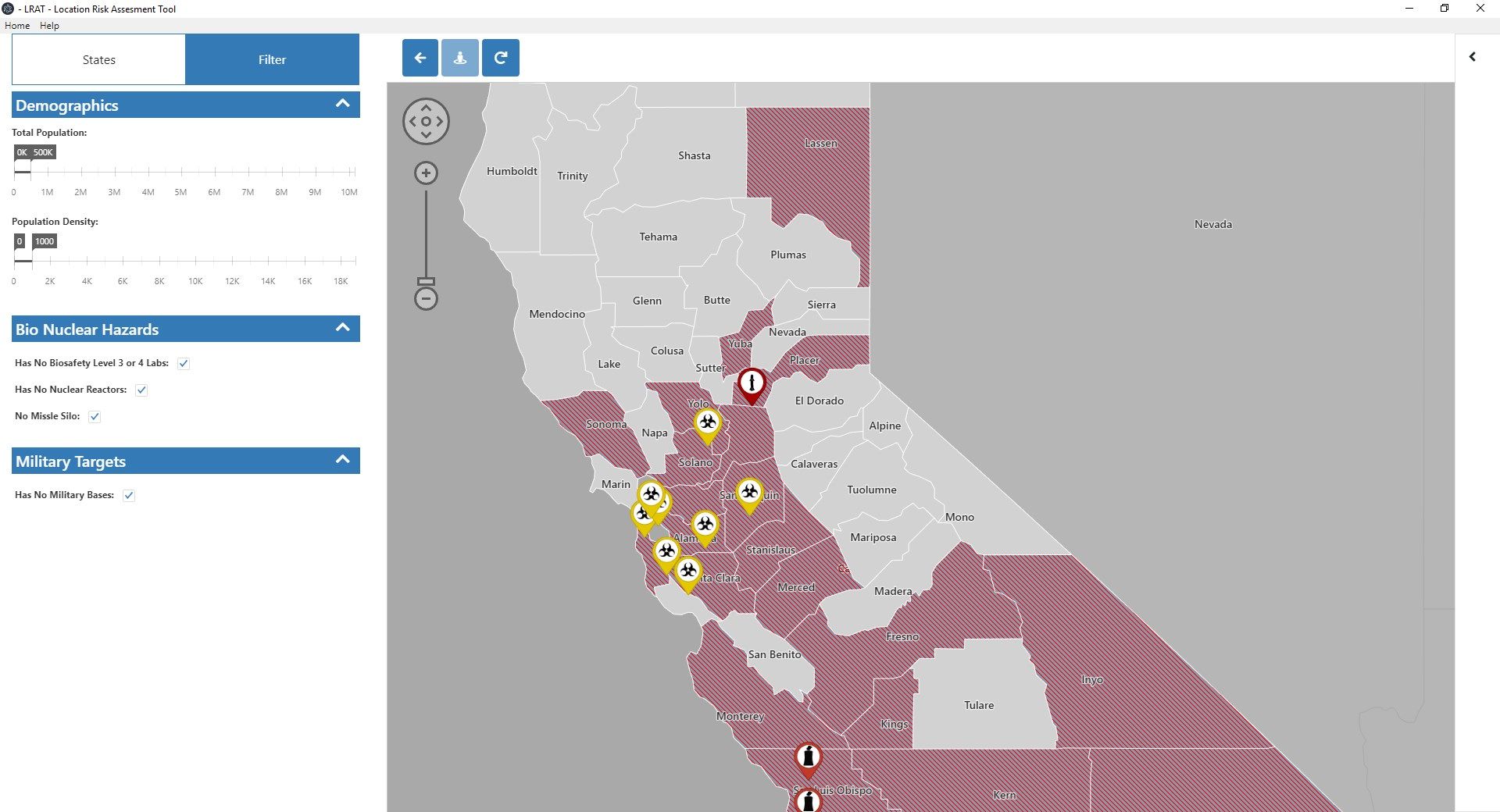
LRAT also provides a county detail view of each state by allowing you to zoom in and view the counties of each state. We identify potential threats such as nuclear reactors and BS4 Labs. In the County view you can also filter counties on multiple criteria to rule out any counties that do not meet your needs.
-
Provides Demographics,Taxes,Cost of Living,Food Production,Bio/Nuclear Hazard,Military Targets,Crime Rate,Self Defense,Weather Events data on US States
-
Provides Demographics, Bio Nuclear Hazard and Military Target information at a county level
-
Filter states based on multiple categorizes and criteria
-
Filter counties based on multiple categorizes and criteria
-
State Maps
-
County Maps