

MangroveSiteView
Description
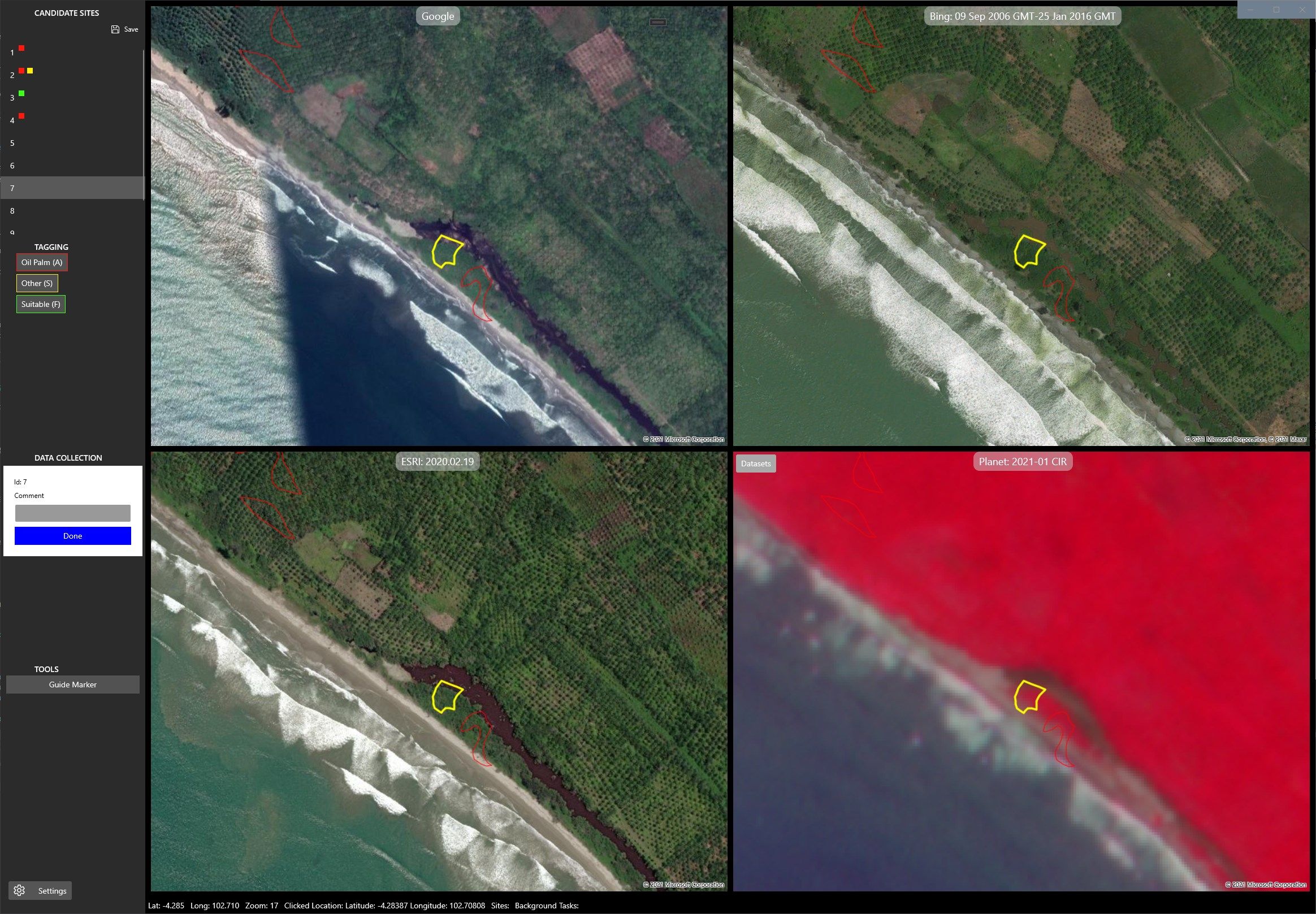
This app can be used to tag geo data and view it with open hi-res satellite imagery including Google, Bing, ESRI and Planet Labs (tropics only).
The intended use it for tagging if possible rehabilitation sites should be surveyed and allows data to be captured about them.
-
View open hi-res satellite imagery overlayed with user geojson data
Product ID:
9NGTVNHBHGX0
Release date:
2021-03-26
Last update:
2022-03-13