

Description
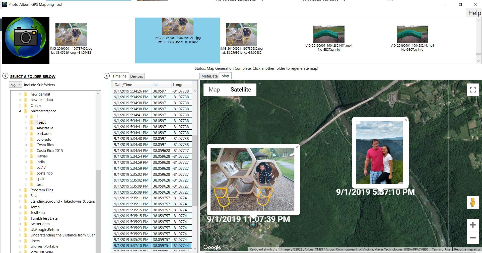
The Photo Album GPS Mapping Tool is a Windows Software Tool designed to parse the GPS coordinates extracted from the metadata of images taken from tablets and phones. These images are then placed on a google earth style map so that the user can view exactly where the photo was taken.
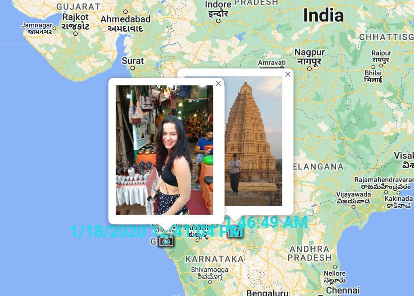
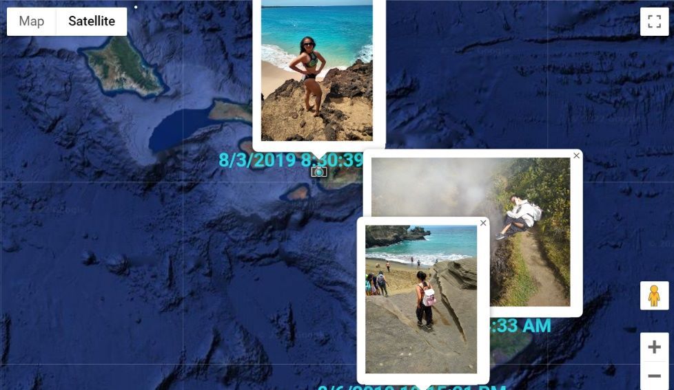
Did you know that photos taken by Phones and Tablets often include the GPS coordinates where the photo was taken? These location markers are stored in the photos ‘Metadata’. Now you can extract these locations from all your photo albums and view this data on a google earth style map with the Photo Album GPS Mapping Tool Software!
Now you can look back on all your adventures, seeing exactly where you were when the pictures were taken.
The Photo Album GPS Mapping Tool organizes your photos in three separate ways. A timeline view allows you to see your photos chronologically. The file system view allows you to view your photos as they are on the disk, and an organized view organizes your photos based on the device that captured the photo.
The Photo Album GPS Mapping Tool now allows you to add your own geotags to photos without them or you can also edit the location and timestamp information of existing geotags.
For advanced users, Photo Album GPS Mapping Tool also list all the metadata attached to each photo.
Download the Photo Album GPS Mapping Tool now and try it for free!
-
Map Photo GPS Coordinates
-
Image Metadata
-
Google earth style map
-
See where your photos were taken
-
geotag
-
Add geotags