
Description
Shoreline Tracer 1.5.0.0
For Windows 10 and 11 but not Windows 10S.
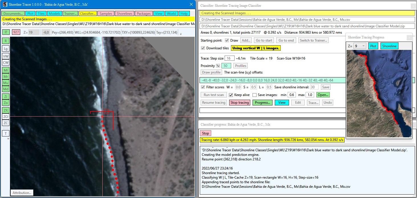
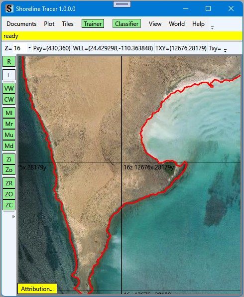
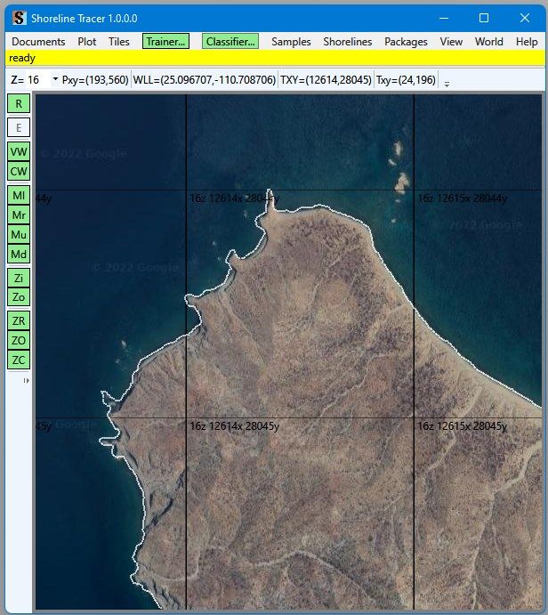
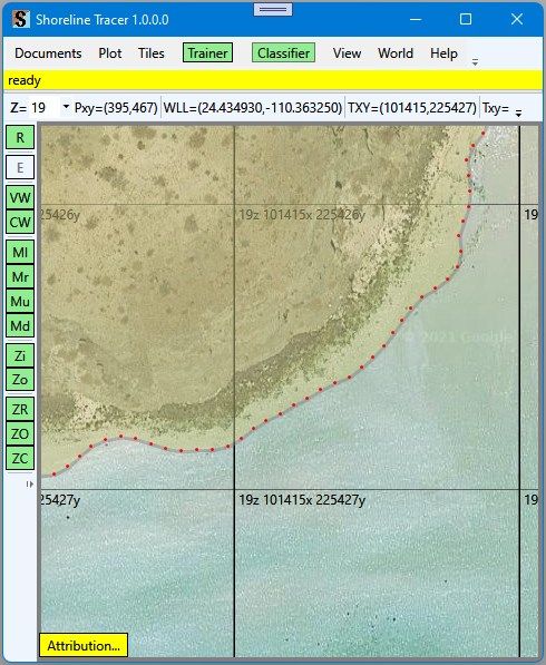
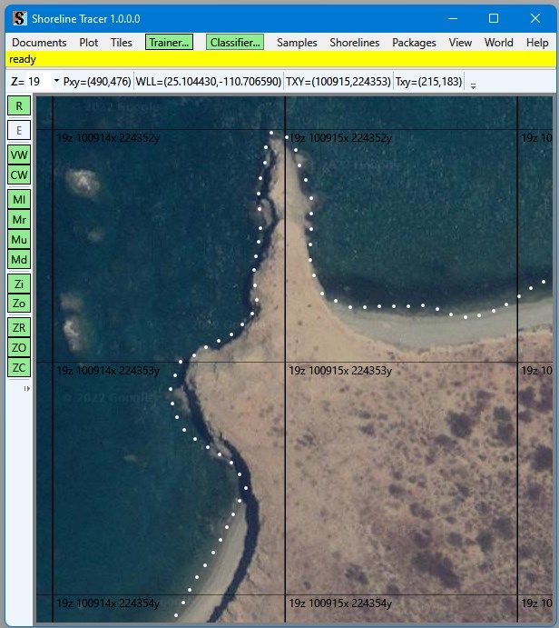
Using Google Maps satellite aerial images, a trained image classifier model, a starting point and direction on a shoreline, the app will follow the shoreline and record the shoreline location (lat,lon) values at stepped intervals in a csv-file. A closed loop shoreline forms a land area.
The Shoreline Tracer can download “Google Maps” satellite aerial images and save the images in a “Tile-Cache”.
The Shoreline Tracer is an experimental application and is not guaranteed to trace all shoreline classes. However, I am making this program available, free of charge, in the event that it might be useful to others.
This program will report crashes and exceptions to the Microsoft App Center. The diagnostic information will be used to correct the problems you might encounter. The program will not record or report any personal information.
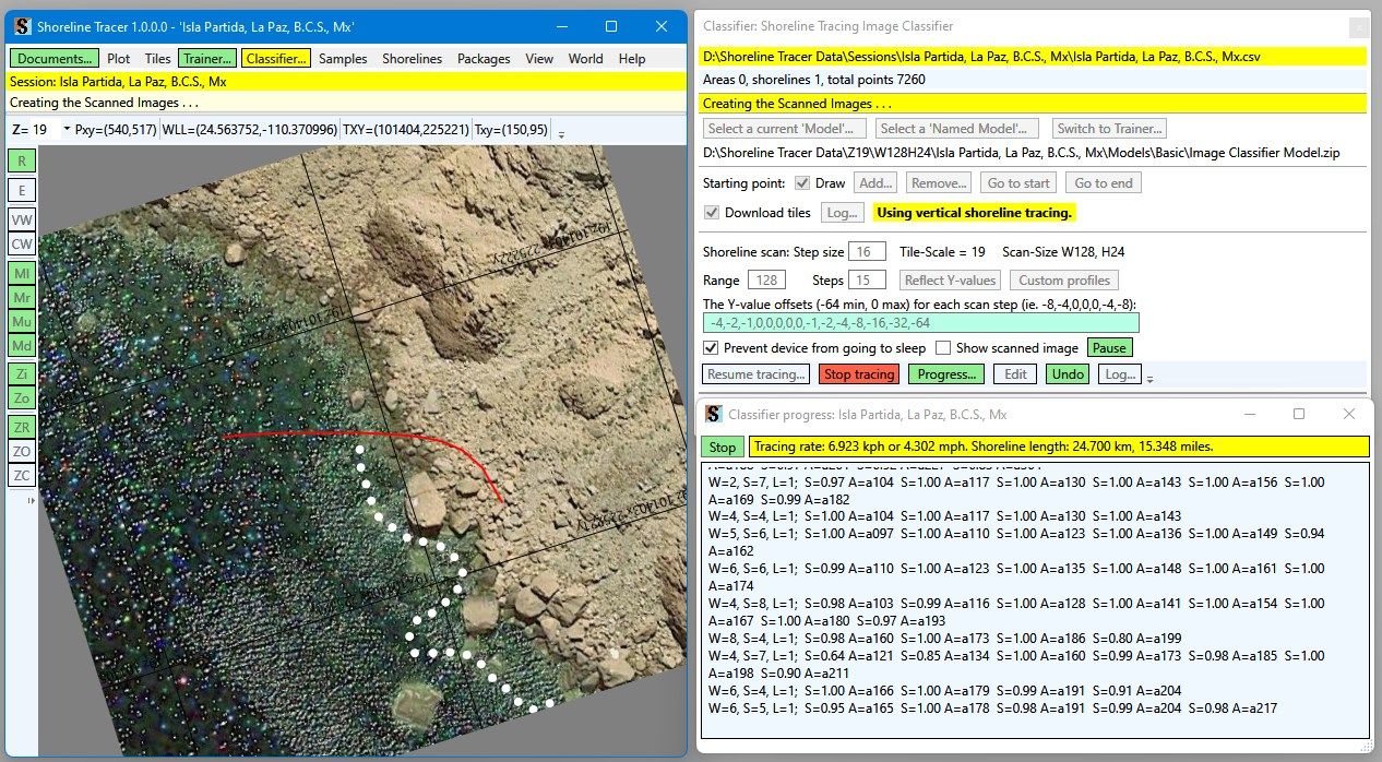
How it works:
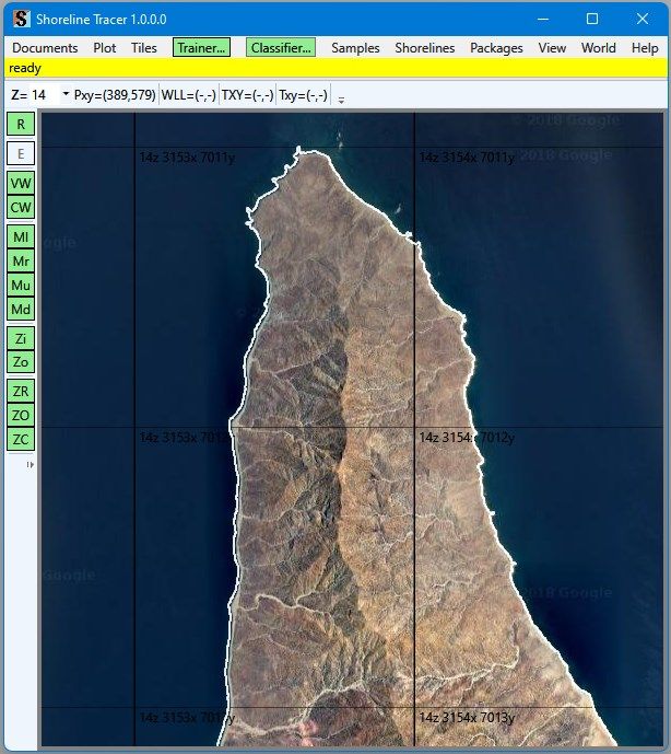
1 - In the main plot window, you select the shoreline image you
want to trace at a Z-level magnification scale.
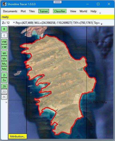
2 - You select an image training sampling and classification size.
3 - Using the plotted aerial images, you create a training image list of water samples, shoreline samples, and land samples.
4 - You then train the image classifier with the training samples.
5 - In the aerial image, you select a shoreline starting point and direction.
6 - You specify a tracing step size, an image scan range, and a scan step size.
7 - You then have the application start tracing the shoreline.
1 - The application will scan the aerial image in the start direction.
2 - The scan will produce sample images at the selected image size and at the scan stepped locations.
3 - The app will record the angle to each sample image from the current location.
4 - The app will classify with probability values each image as water, shoreline, and land.
5 - From an analysis of the probability of the shoreline images, the app will determine the direction to the next point on the shoreline and will record the location (lat,lon) in a character-separated-value csv-file.
6 - The app will advance to the new location and will repeat the process.
The traced shoreline result might not be the same as what you perceive as the true shoreline.
When the Shoreline Tracer cannot find a shoreline, the application will stop. You can then add more training samples, retrain, and resume shoreline tracing.
If the program cannot trace a section of the shoreline, you can use the “Trace” option in the “Edit” menu to manually trace around the problem section.
If the program creates several invalid trace points before stopping, you can use the “Undo” options in the “Edit” menu to remove the invalid coordinates.
-
Uses the Microsoft Machine Learning "Image Classification" tools.
-
Uses the GoogleMap satellite images in a local tile-cache as the shoreline source images.
-
Optionally downloads only the needed but missing GoogleMaps tiles.
-
Uses shoreline classes for different image classification models.
-
Creates a list of (lat,lon) coordinates in an easily parsed csv-file.
-
Creates a tile-based shoreline vector tile-cache.
-
Creates SQLite tile-based shoreline vector tile-set packages.
-
Uses two different shoreline recognition methods: water, shoreline, land (W|S|L) and water-to-land (W|L).
-
Optionally, creates multi-scale (0-to-21) binary shoreline files.
-
Optionally, create multi-scale (0-to-21) binary shoreline vector tile-based SQLite database packages.