
Surveying and Mapping USA
Description
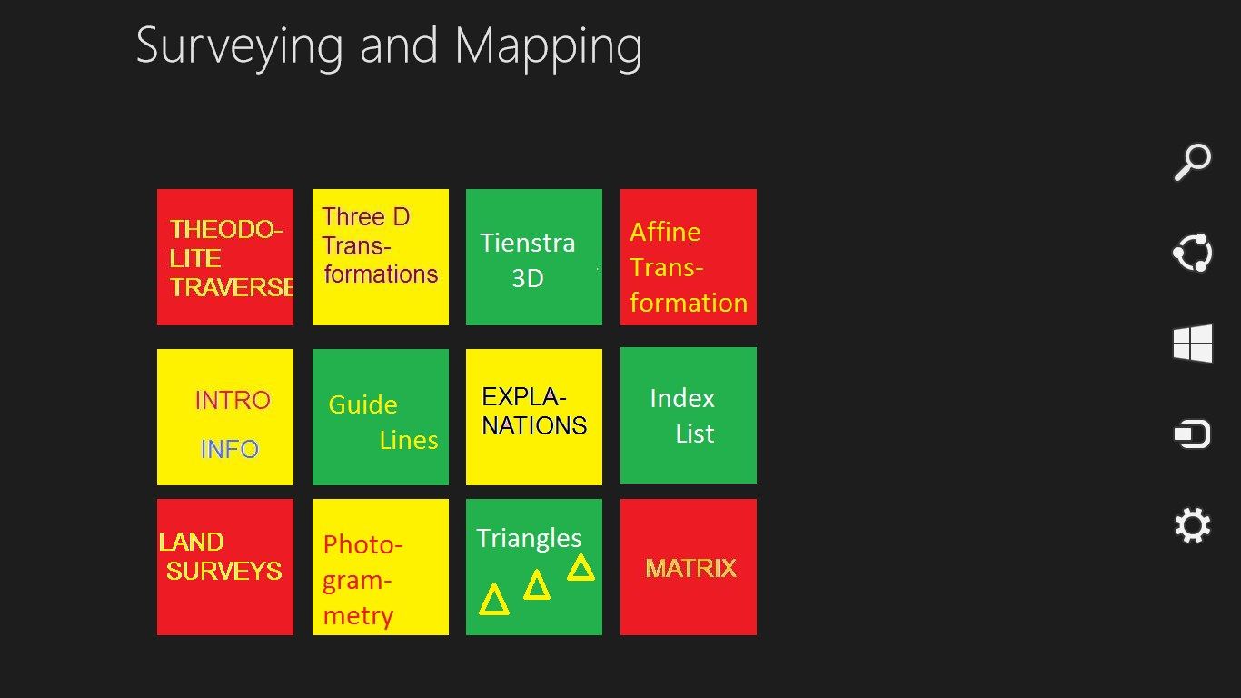
Surveying and Mapping is primarily meant for Engineering Students and their Instructors.
Also useful for those interested in Land Surveying and Photogrammetry and the basic Mathematics related to these fields.
Very useful to do practical exercises in Theodolite Traverse calculation.
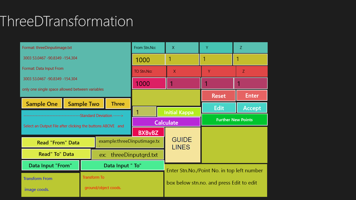
Three Dimensional Transformation, Affine Transformation are there for
helping you in your studies and research.
Related to Photogrammetry, you have ample information on Interior, Relative and Absolute orientations which are required to establish Stereo
Models using overlapping images in order to perform Stereo Restitution
and obtain Terrestrial coordinates from image coordinates.
Product ID:
9WZDNCRDF5ZP
Release date:
2013-12-12
Last update:
2020-10-19