
Topographic
Description
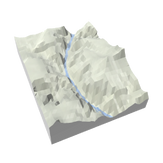
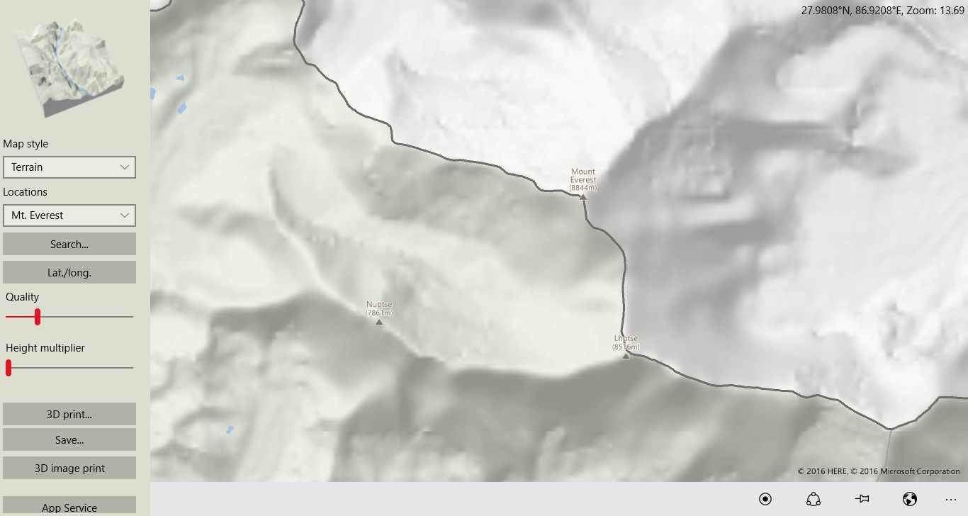
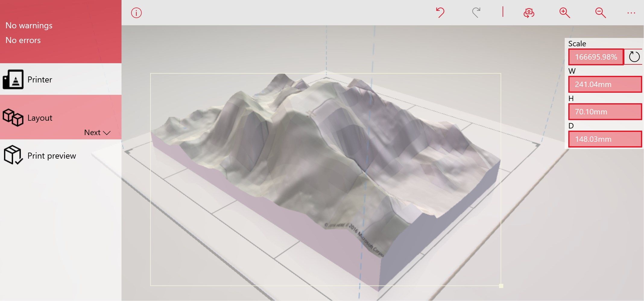
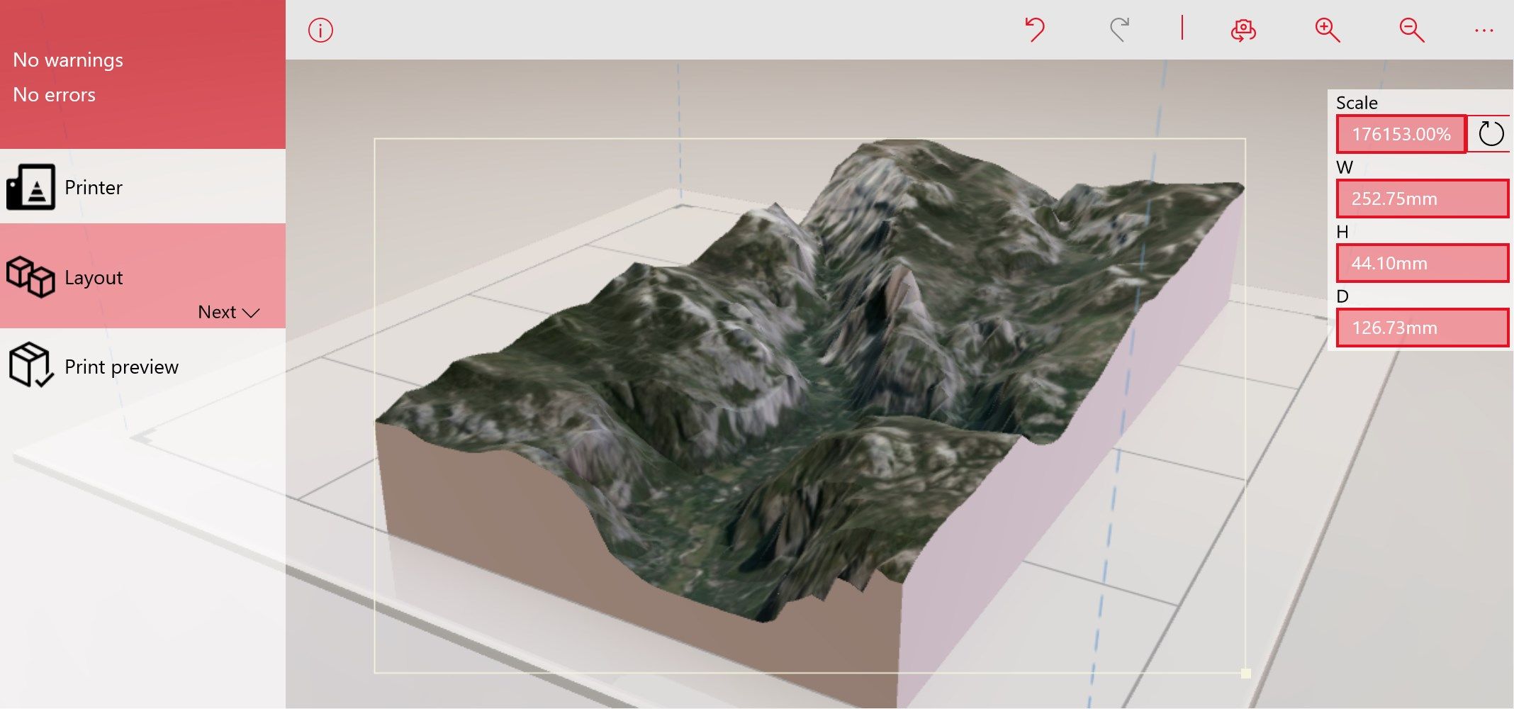
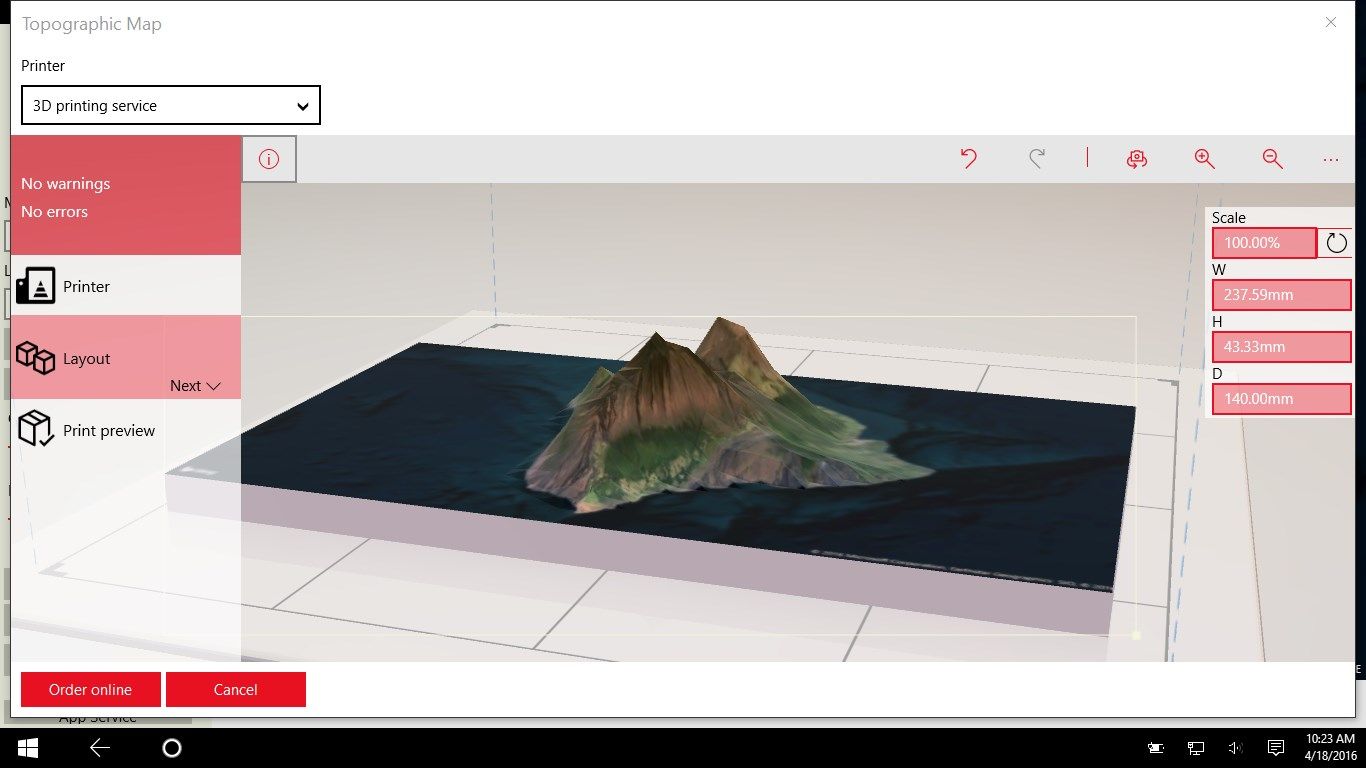
Generate 3D printable topographic maps from anywhere on Earth. Print directly to an attached 3D printer or send to a 3D print service. Create topographic holograms on a HoloLens. Open models in 3D Viewer, Paint 3D, and 3D Builder.
The app has been adapted to work on HoloLens with voice commands.
Call Topographic as a app service from any other Universal Windows App to add 3D printing capabilities - see details at https://github.com/mscherotter/TopographicService
-
Create a 3MF printable 3D model from other Universal Windows Platform apps as an app service: https://github.com/mscherotter/TopographicService
-
Search for locations by name
-
Input latitude and longitude coordinates
-
Save as 3MF or STL
-
Adjust resolution up to 128x128 elevation points
-
Change map image types: aerial, road, terrain
-
launch the app with a protocol handler: topographic:southLatitude=36.0915&westLongitude=-112.1615&northLatitude=36.11808&eastLongitude=-112.1241&quality=34&scaleZ=2&format=stl
-
Pin your favorite locations to the start screen.
-
Send map images to 3D Builder which then generates 3D models based on the color values.
-
Print directly from the app to a connected 3D printer or to the cloud print service.
-
Scale the height up to 10x normal.
-
Copy the map coordinates, the map image, or the map files (.3MF and STL) to the clipboard.
-
Extends the Journalist app by being able to insert topographic maps onto journal pages.
-
Create Topographic holograms for HoloLens devices.
Product ID:
9NBLGGH5XRH3
Release date:
2016-04-07
Last update:
2022-03-12