
U.K. Crime Map
Description
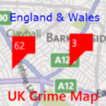
This is a very handy app that you can use to check how safe are your streets in your locality of places of interest.
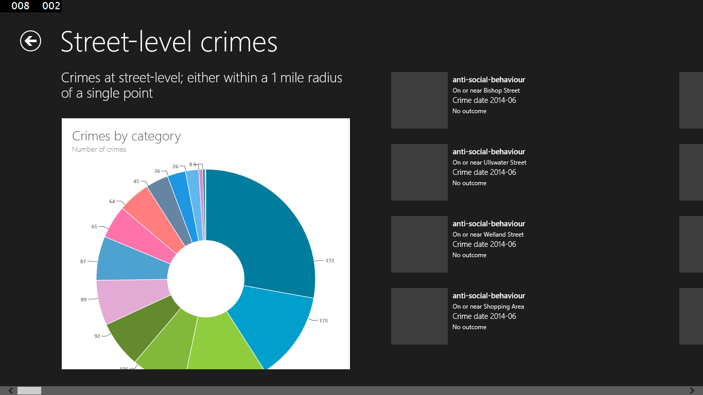
Latest version with enhancements on crime data visualisations using charts.
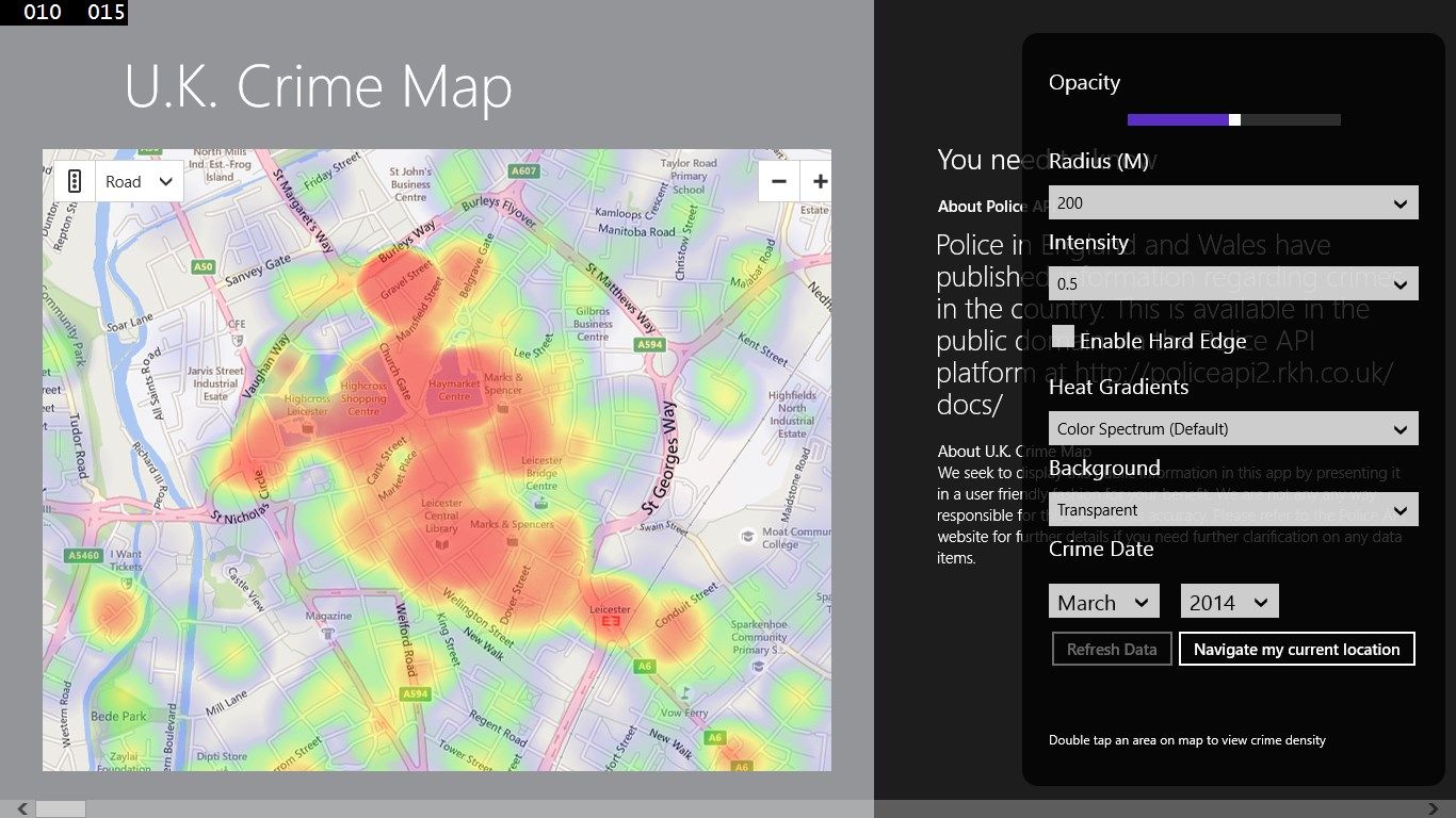
Now showing the street-level crimes on heat map.
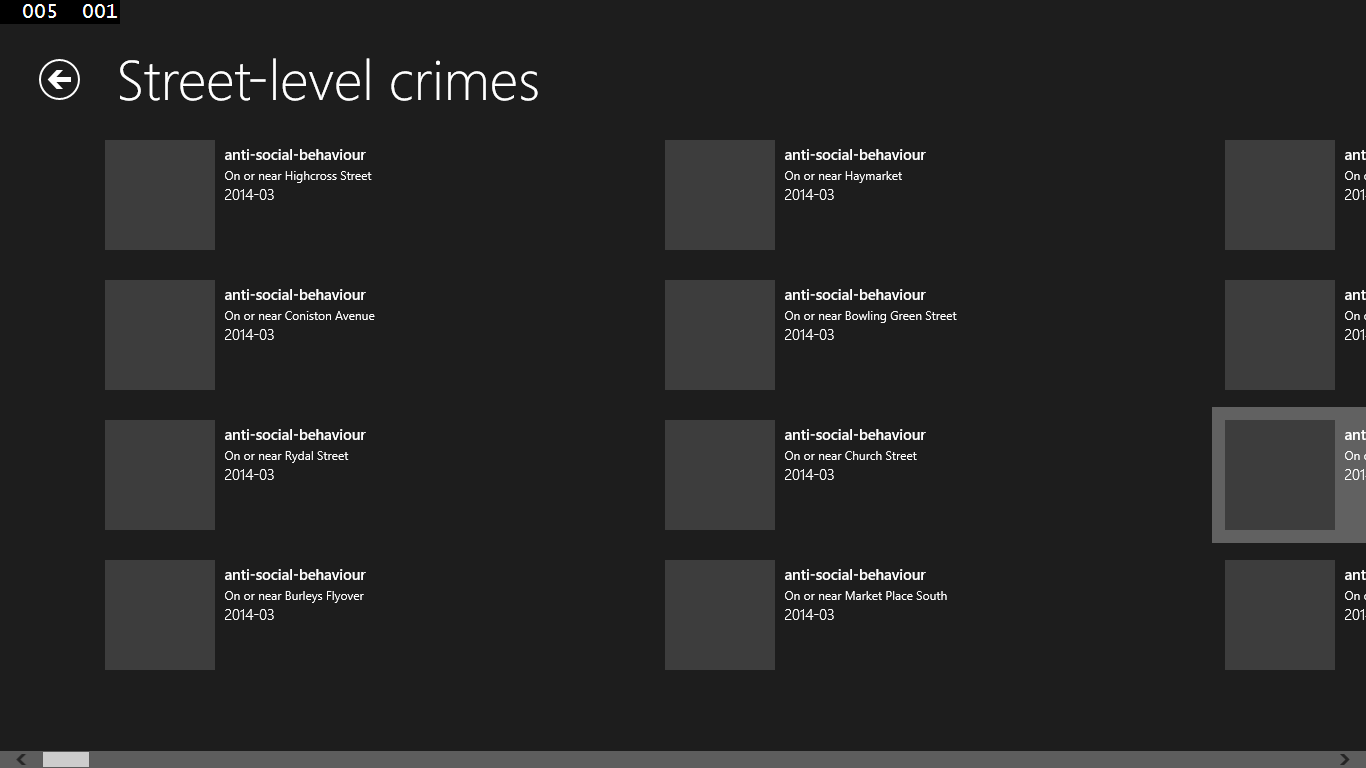
Crimes at street-level within a 1 mile radius of a single point.
IMPORTANT NOTE:
The street-level crimes returned in the API are only an approximation of where the actual crimes occurred, they are NOT the exact locations.
Police API URL:
The Police API allows you to retrieve information about neighbourhood areas in all 43 English and Welsh police forces
http://policeapi2.rkh.co.uk/api/docs/method/crime-street/
-
Street-level crime heat maps
-
Map-based search - double-tap location on map to load crimes
-
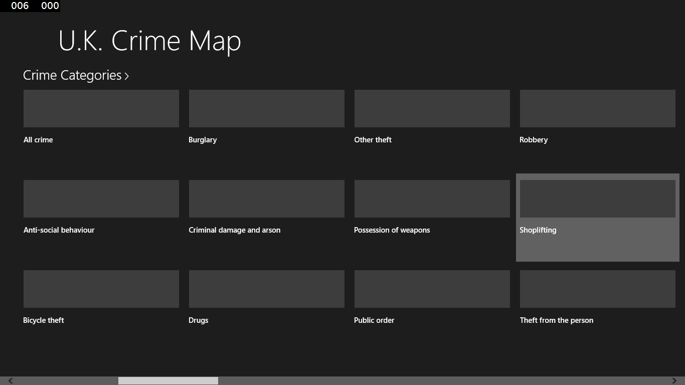
Crime categories
-
Historical crimes via date-based search
Product ID:
9WZDNCRDKGL6
Release date:
2014-05-17
Last update:
2019-02-02