UAV Drone Controller App - SDD Test
Rating (5)
Reviews: 1
Category: Navigation & maps
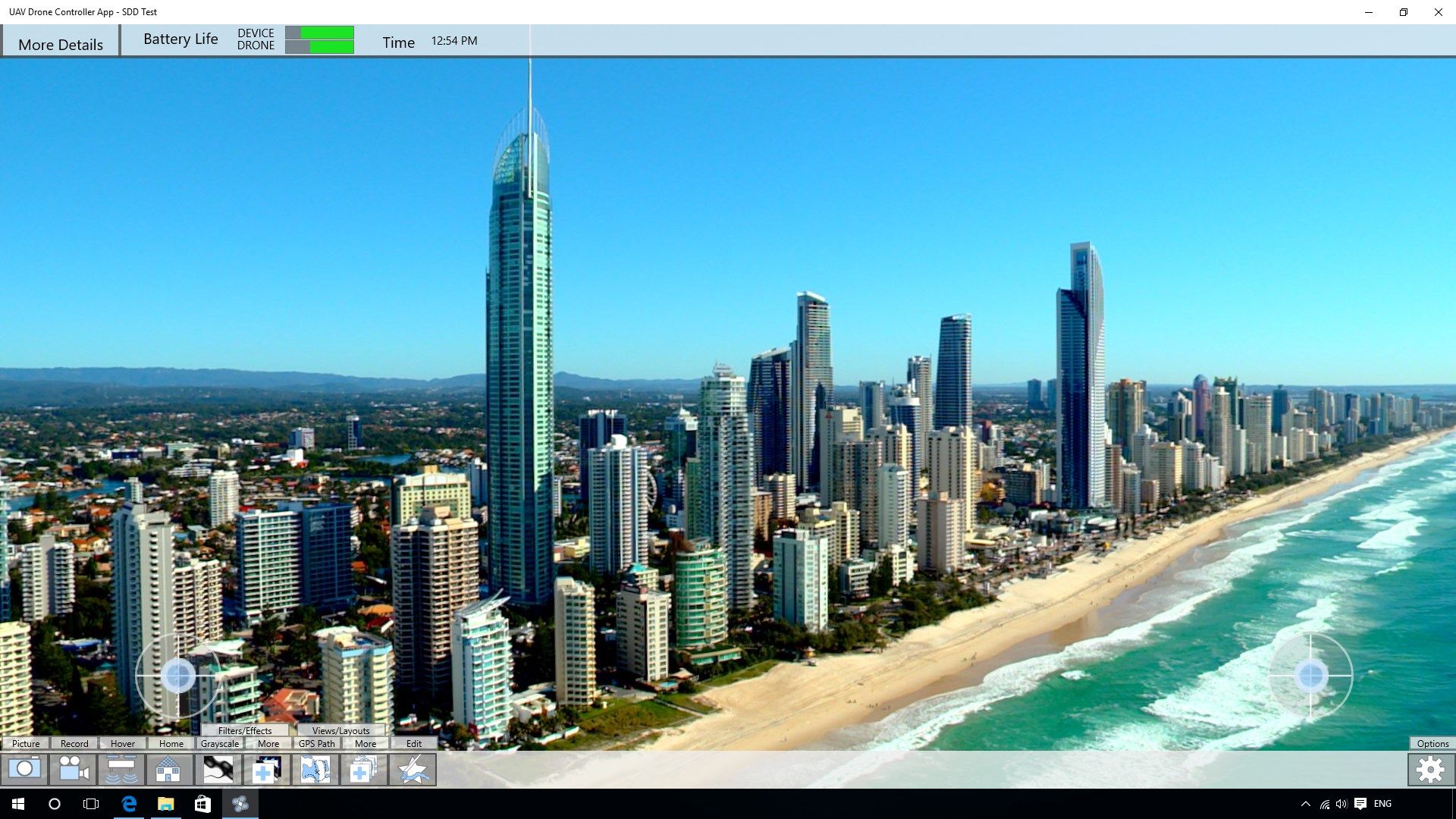
Default View. 
The background image is a live-stream from the camera attached to the UAV drone. The two thumb-stick pads on the left and right bottom sides is used to control the drone. Furthermore, the drone can be controlled by GPS set waypoints in the GPS plotting view, which is shown in the next screenshot. Can be accessed by the respective button on the bottom row.
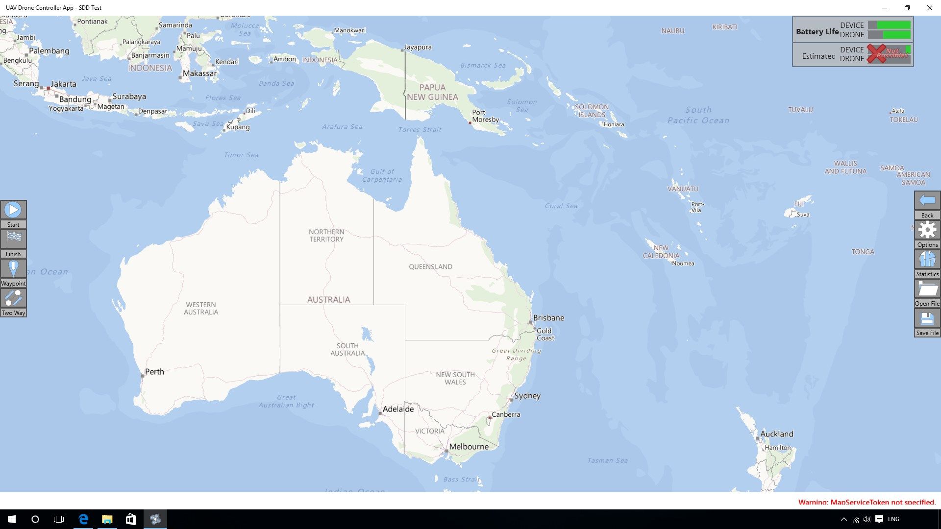
GPS Travel View.
Used to set way-points and destinations to calculate a safe flying route. The route can be viewed, along with the estimated arrival time, current and estimated battery life, and set and published to/from a file (for repetitive functions in a commercial business, military patrolling, etc).

Description

Note: This app is not functional, and is for a Software Design & Development project. It is only for the purpose of understanding how the hypothetical app would function.

‘To control any drone from your phone, tablet or desktop computer and, view and record video camera footage at the same time. Allows GPS plotting and route calculation for any task, whether a Commercial delivery, Governmental operation or even a Recreation joy-flight to Catch em’ all.’

Product ID: 9NBLGGH4T5G7
Release date: 2016-08-01
Last update: 2019-01-29