
Augview Lite
Rating
0
Reviews
0

App details
About Augview Lite
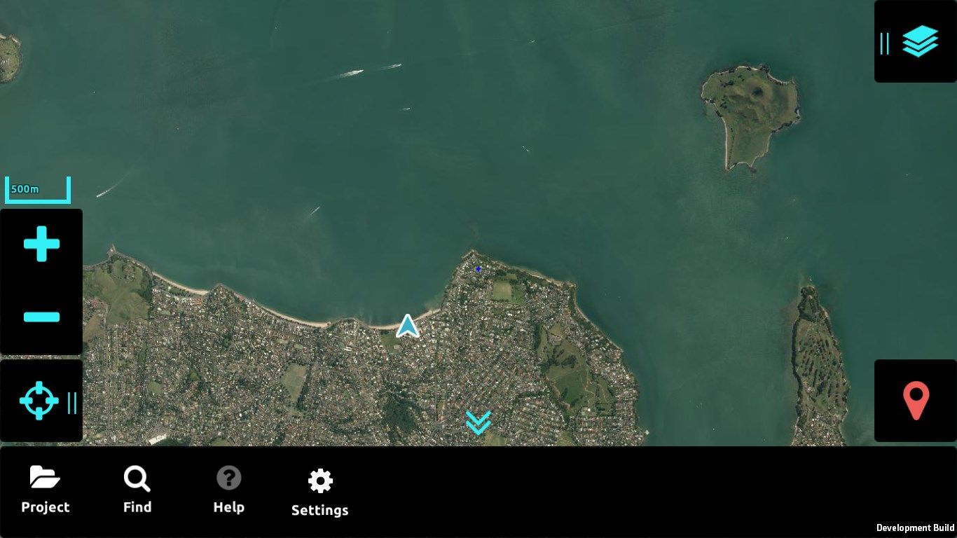
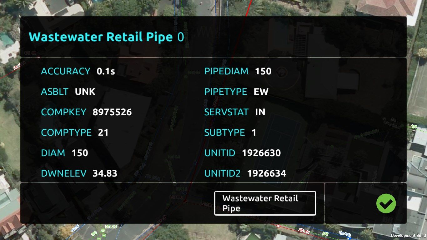
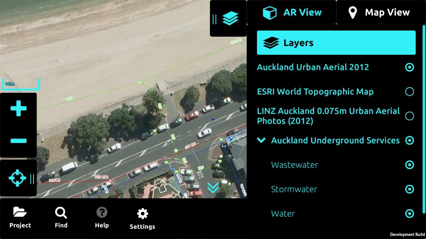
Augview is an augmented reality application that enables the user to display and visualize infrastructure asset data. It has been developed for field service personnel who require online access to a variety of GIS and asset management systems via the internet. Augview provides traditional GIS map views of the asset data plus an augmented reality mode that displays 3D objects of the networks overlaid over the video stream.
Features
- 2D map
- 3D augmented reality mode
- Multiple GIS systems supported (ESRI Rest API, Smallworld, WMS/WFS)
- Access to multiple GIS data sets combined into one map (Data access is based on pre-arranged permission)
- Database interrogation
- “Live” attribute update (Requires “write” permission from the asset owner)
- “Live” spatial update (Requires “write” permission from the asset owner)
- Photo capture with geotagging and association with an asset