
BSOutdoor
Rating
3
Reviews
2
App details
About BSOutdoor
Hiking with BSOutdoor
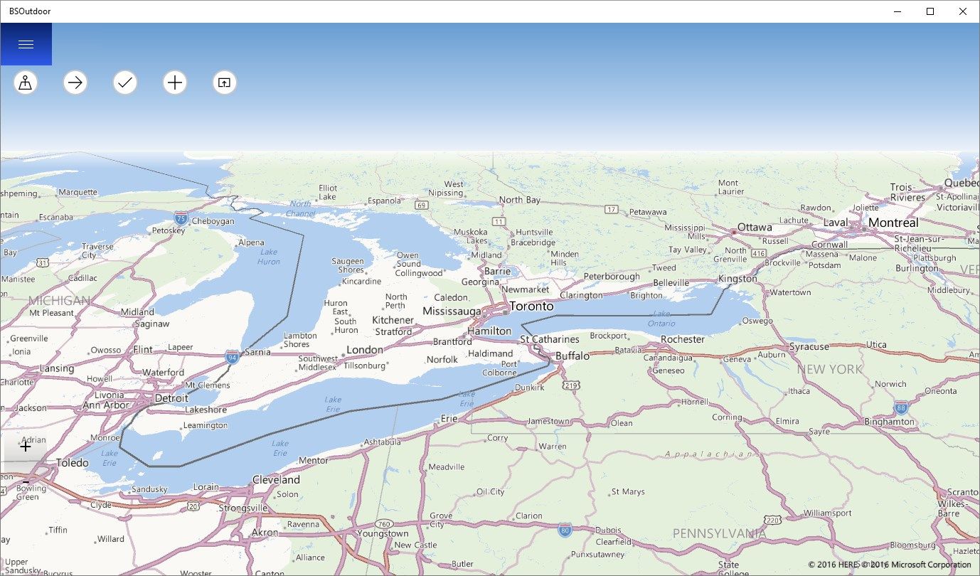
BSOutdoor is ideal as a replacement or supplement to maps.
With an Internet connection, the map tiles are loaded to the current position and stored in the cache so that they are also available offline then. You can also load the map tiles at home even by simply moving the map to the desired area.
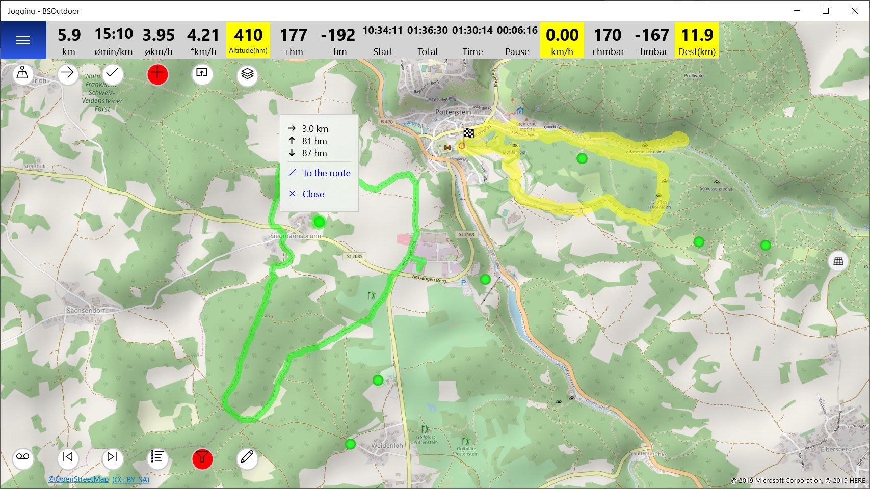
Tracks can be recorded.
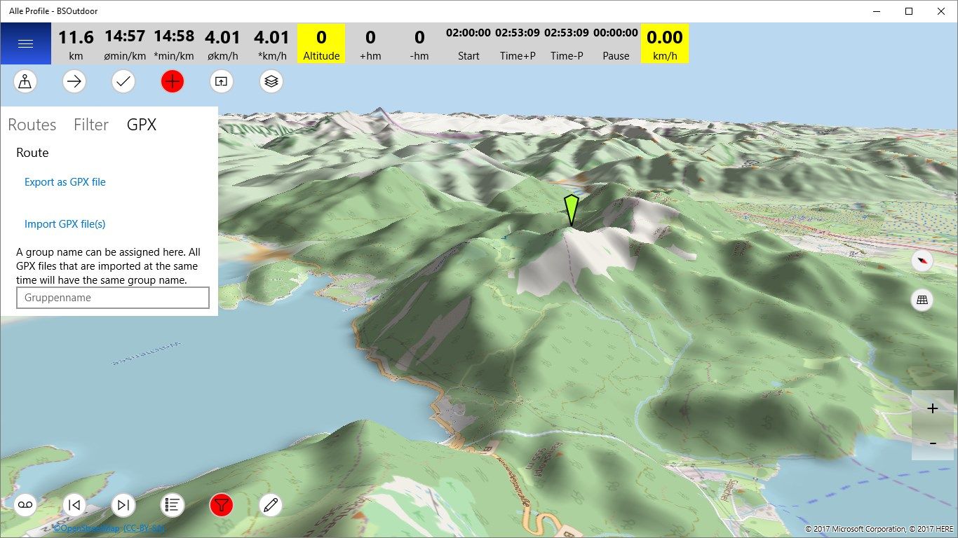
Import and export GPX files.
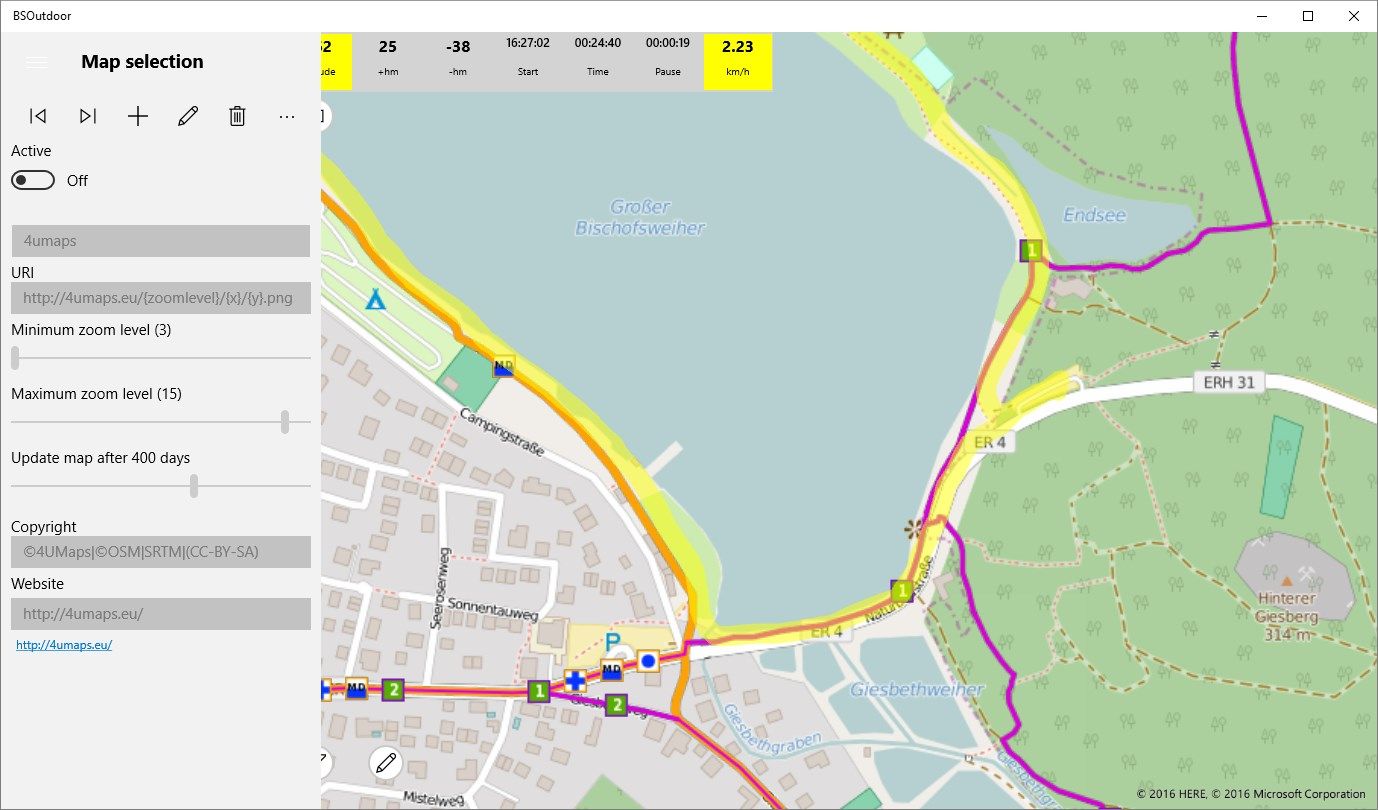
You can use different maps and even add yourself map tiles links.
This app is also suitable for mountain bikers and joggers.
Locations can be searched.
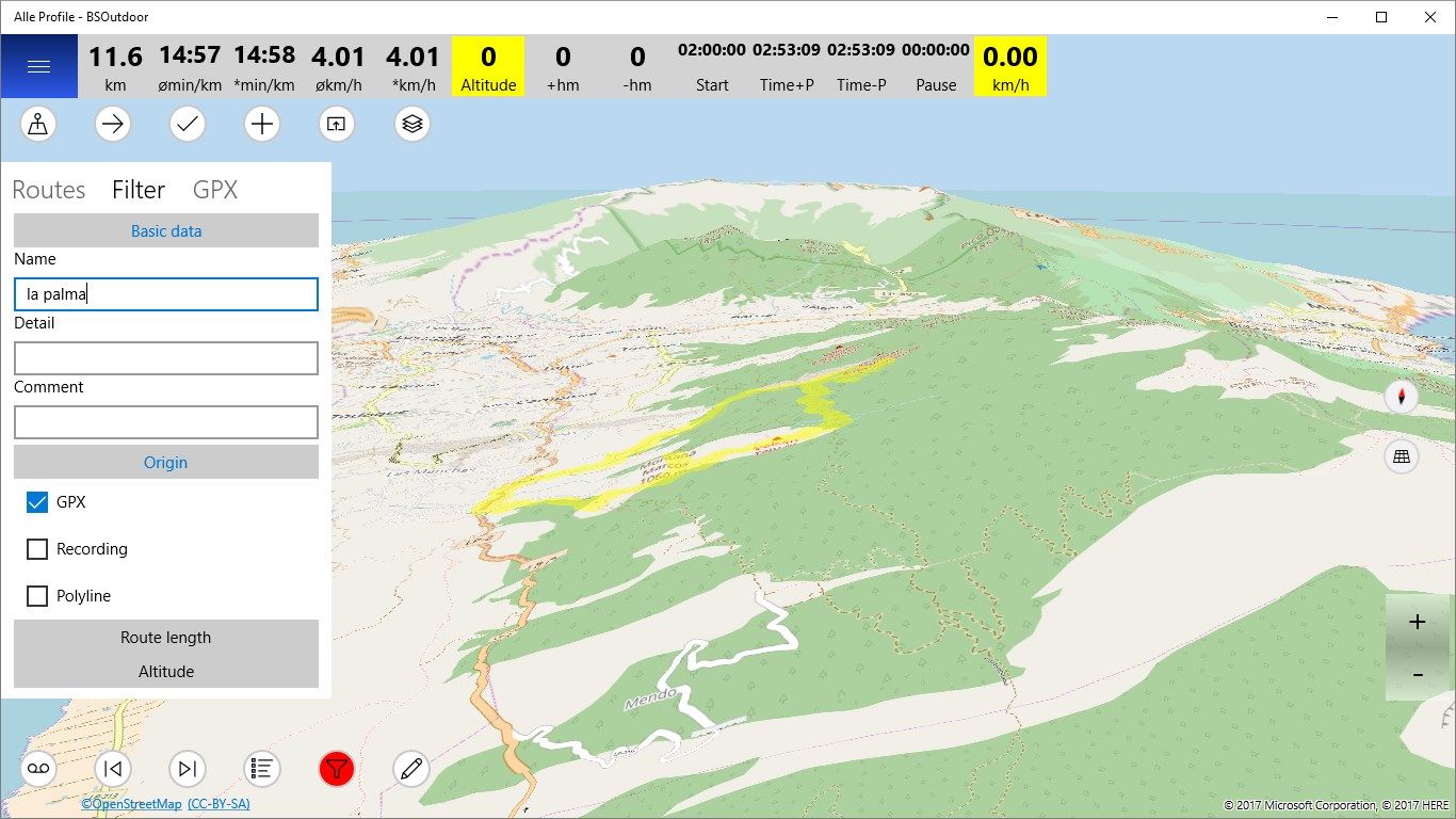
Create own profiles: e.g. Hiking, cycling, jogging, etc.
Other features are in development.
Key features
-
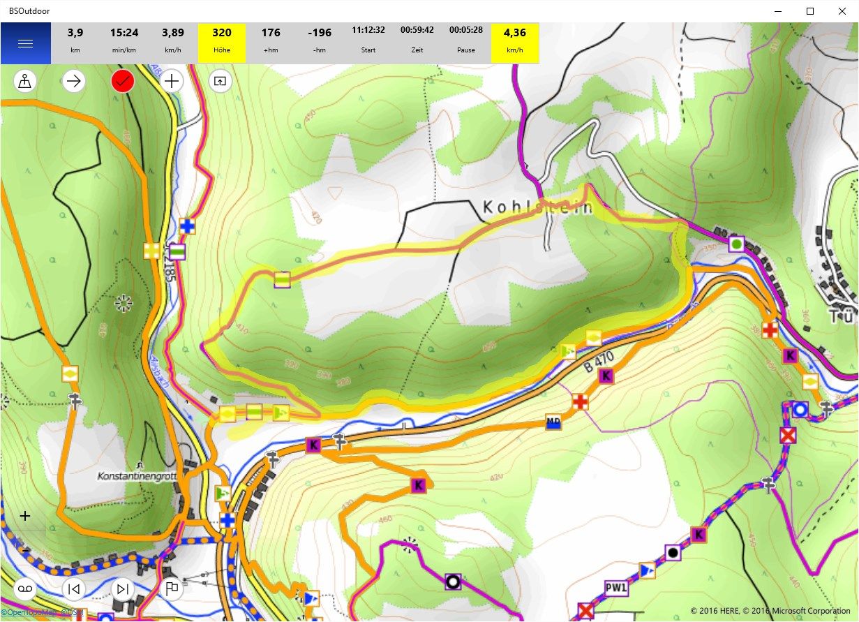
Show your position on map.
-
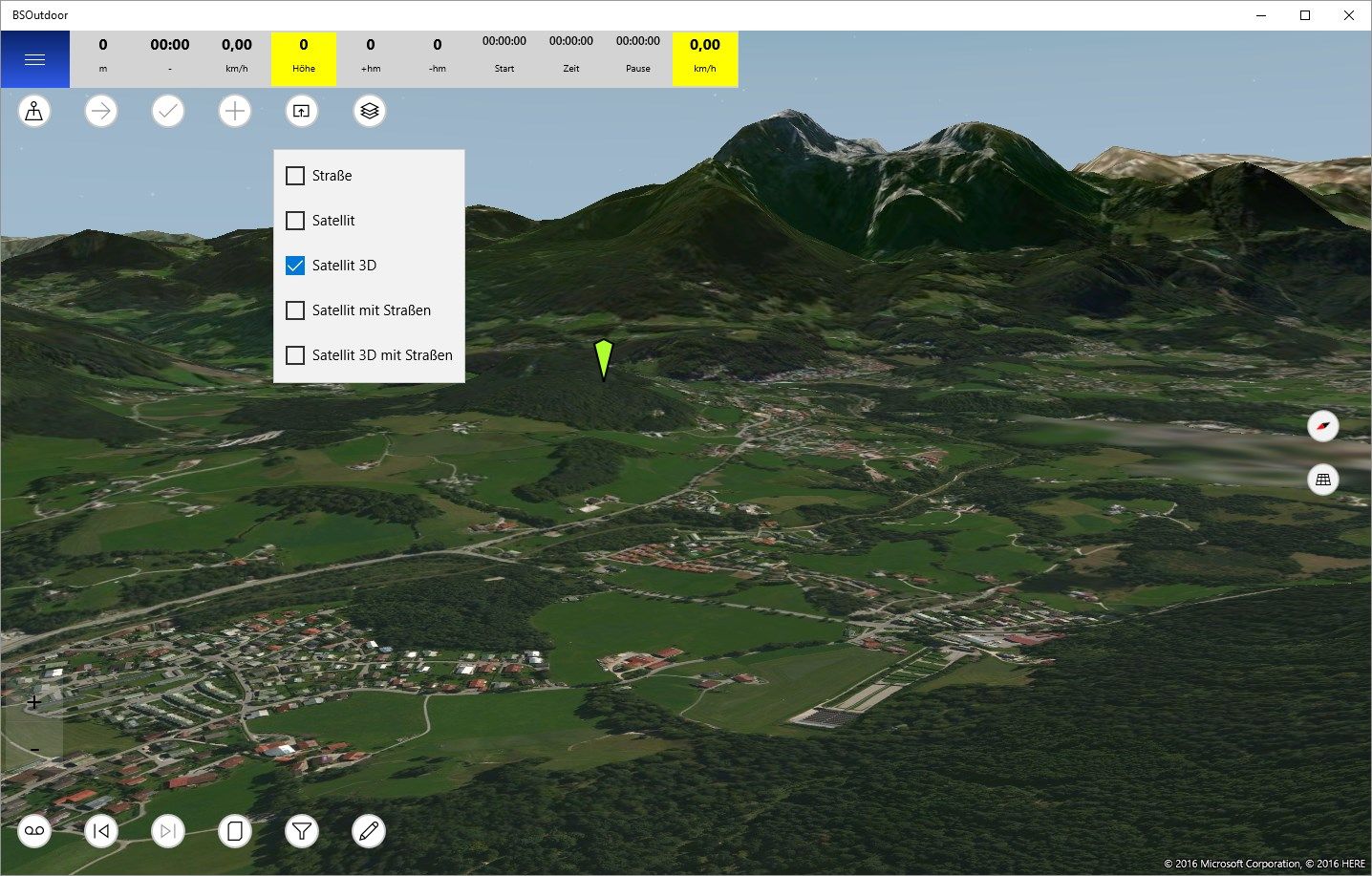
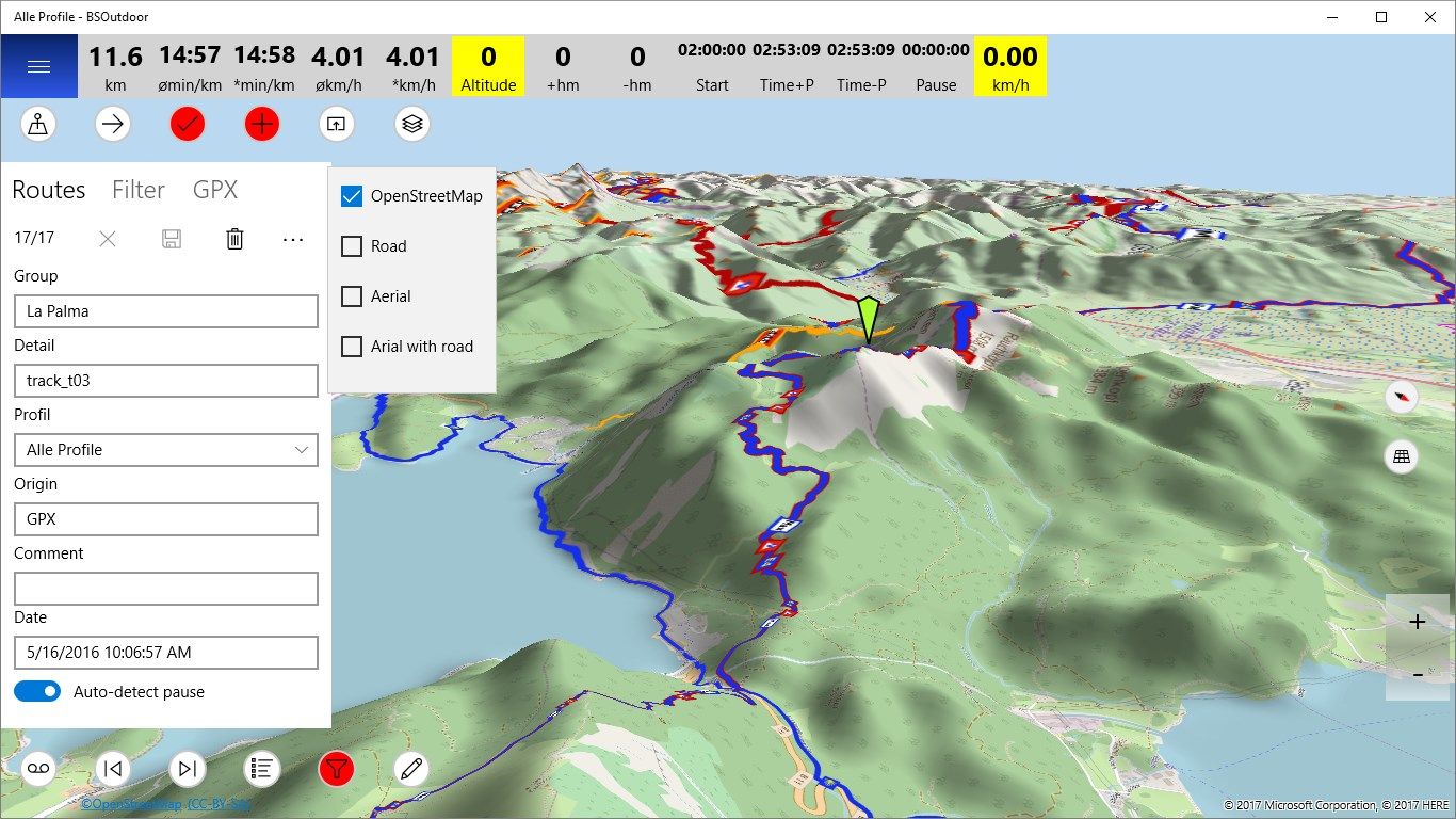
Different map formats such as OSM , Horse Trekking map etc.
-
The map tiles for the current position are loaded from the Internet , then they are available offline.
-
Trail system switched on or off.
-
Map can be tilted.
-
Display of length , average speed , altitude , etc. pause the recorded track.
-
If recording is enabled , the app will continue to run in the background.
-
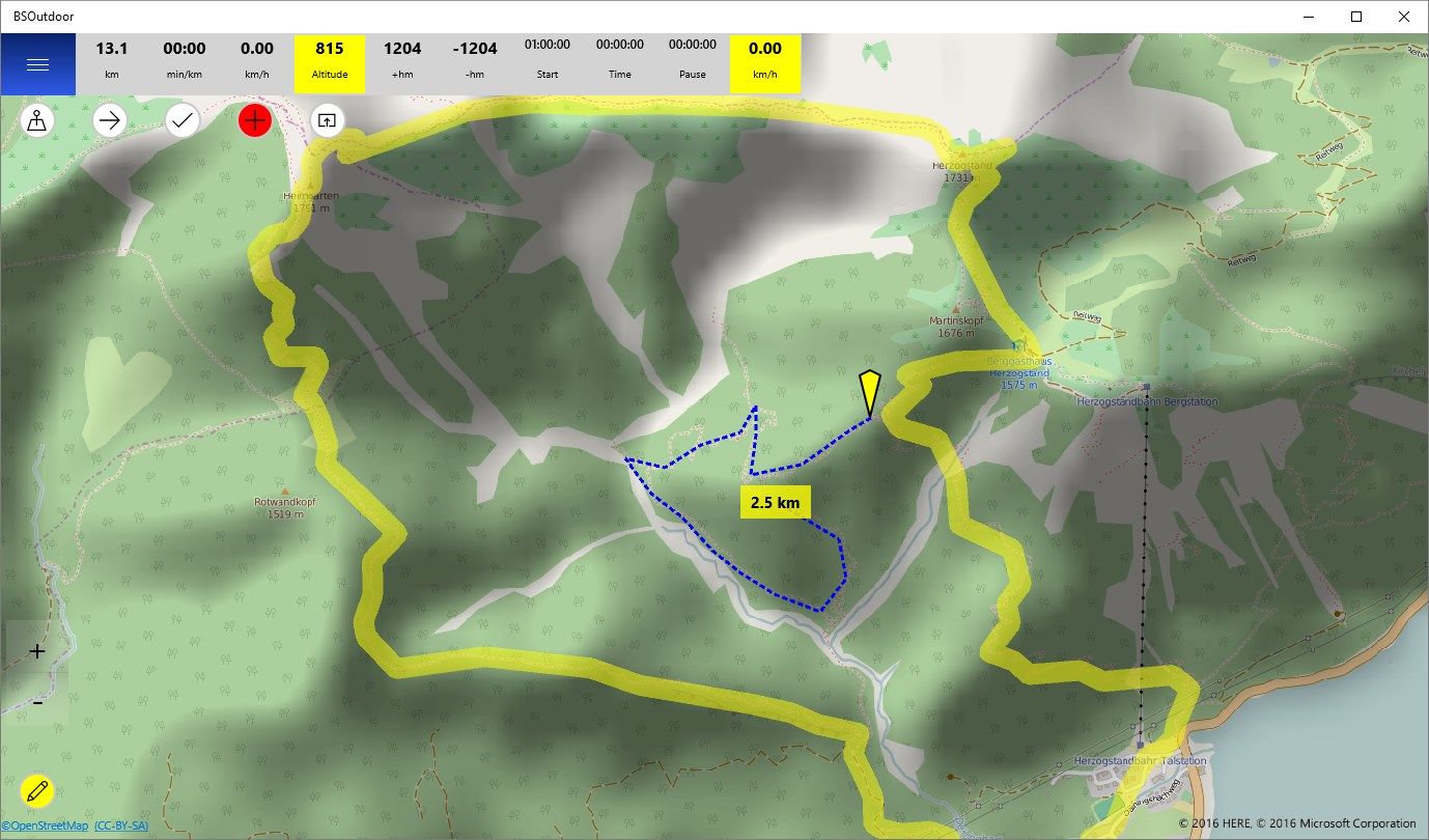
By pressing on a point , the distance to the current position is displayed.
-
Import and export GPX files.
-
Searching over address, latitude and longitude or UTM coordinates.
-
Show current position in latitude and longitude or UTM coordinates.
-
Create own profiles: e.g. Hiking, cycling, jogging, etc.
-
Filtered Route Statistics
-
Synchronizing routes with other devices via OneDrive