
COM-MAP
App details
About COM-MAP
COM-MAP is a toolbox of digital mapping features.
COM-MAP targets:
• private individuals (daily trips: residence-work, residence-school, residence-shopping, vacation outings and so on) and
• sportsmen and -women (touring cyclists, joggers, hikers, roller-skaters, trekkers and so on).
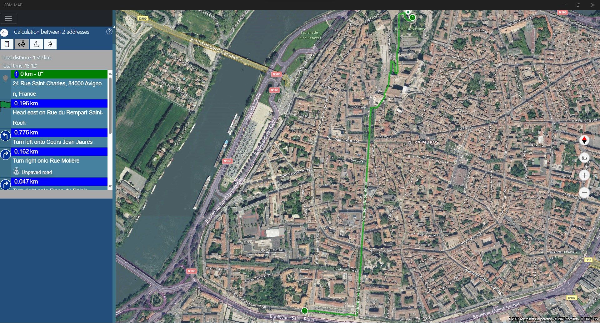
The COM-MAP application allows to optimize a simple itinerary with several stages (trips by car or on foot).
Moreover COM-MAP has other functionalities (points of interests, state of the traffic, and so on) which will help you in decision making.
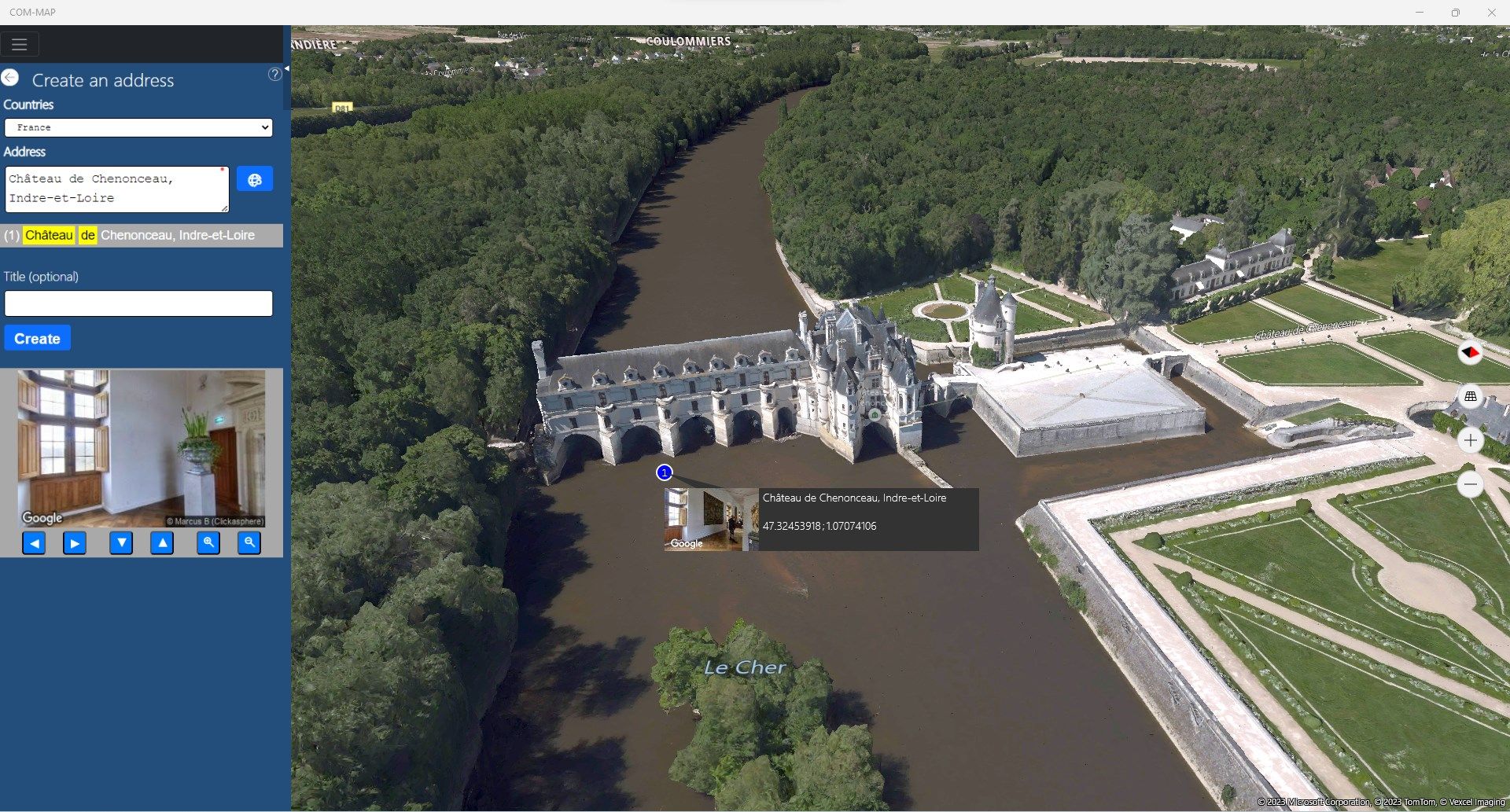
COM-MAP saves your addresses, so you can re-use them later for new calculations.
COM-MAP uses the services of cartography of “Here ©” and “Microsoft Corporation ©”.
COM-MAP uses also “Google Street View ©”, “Microsoft Street Side ©”, “HERE ©” and “OpenStreetMap ©”.
COM-MAP supports the “bingmaps” protocol and can become your default mapping application in Windows 10/11 ©.
COM-MAP is available in 3 languages: English, French and Spanish.
Key features
-
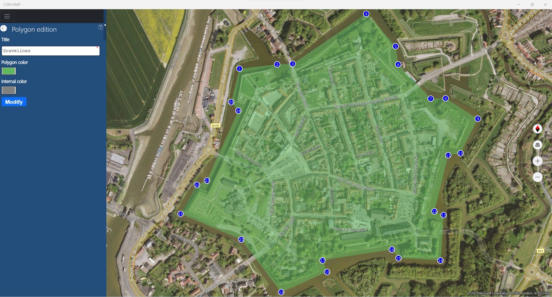
Optimize the itineraries
-
Visualize the itineraries on "Here ©" maps
-
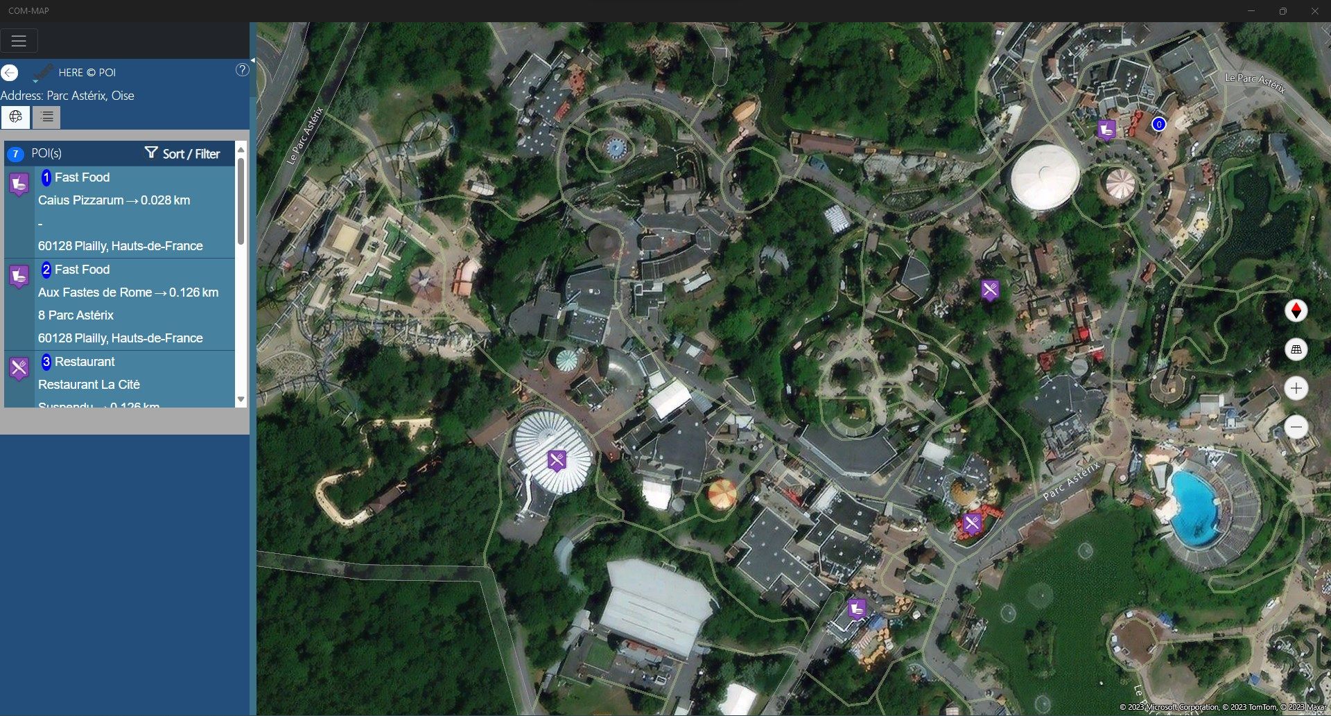
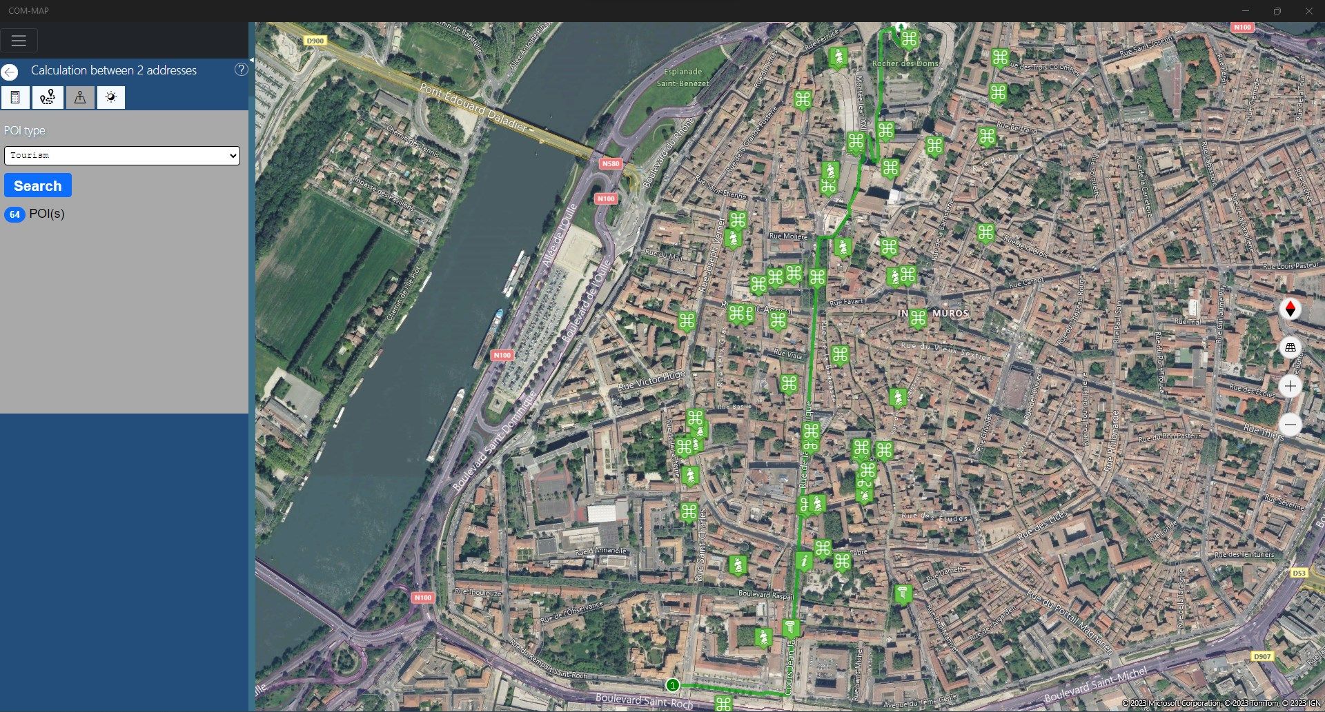
Search POI around an address (via "Google ©", "Here ©" or "OpenStreetMap ©")
-
Search the traffic problems, in real time, on your itineraries
-
Management of vehicles, their consumption, and their carbon footprints
-
Export the itineraries in text, GPX, KML or WAV files
-
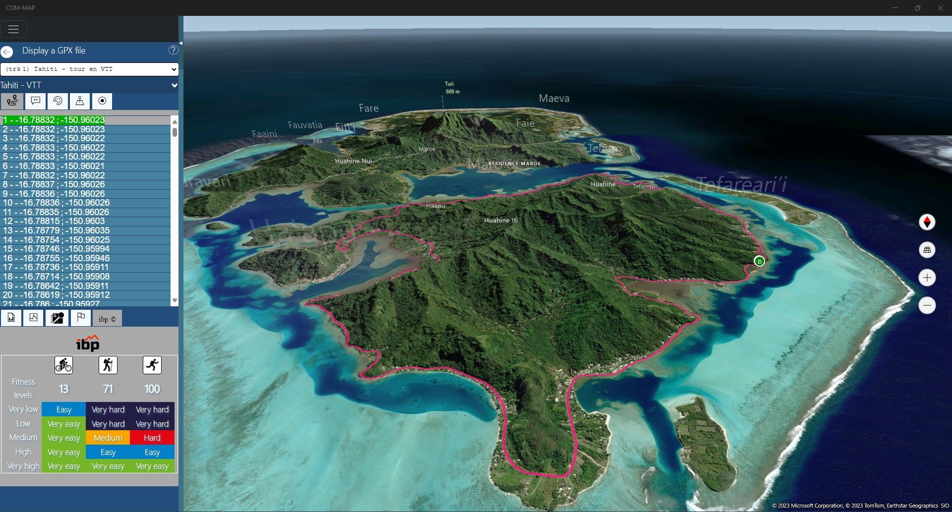
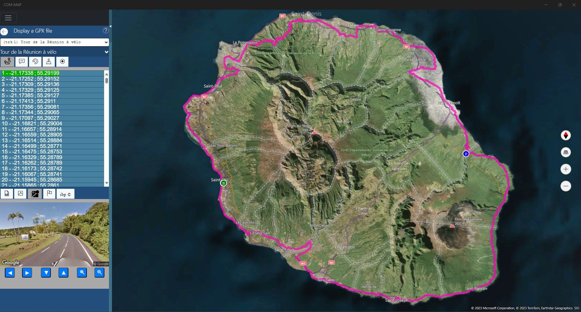
Display an itinerary from a GPX or KML file
-
Display points of interest from a CSV file (Garmin © or Navman ©)
-
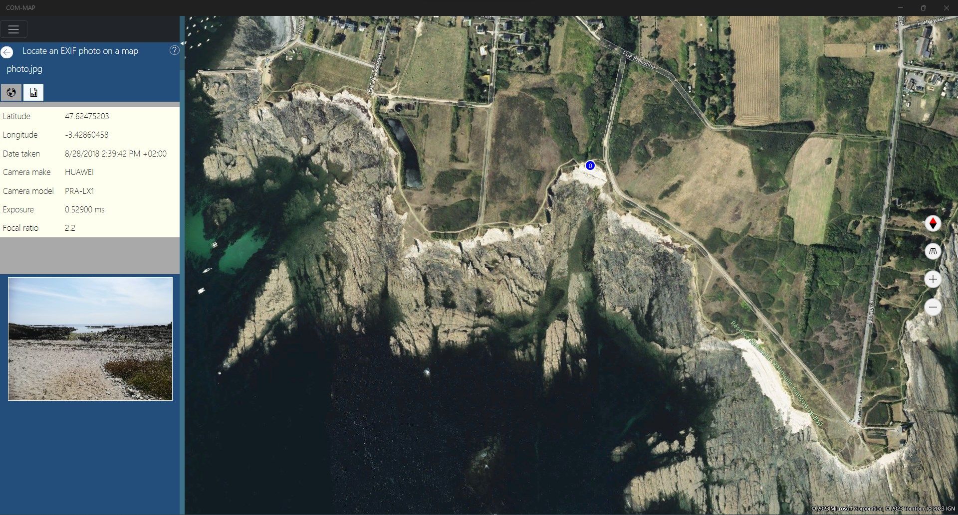
Localization of JPEG image having EXIF GPS data
-
Choice between metric system and imperial system
-
Converting file formats between GPX and KML
-
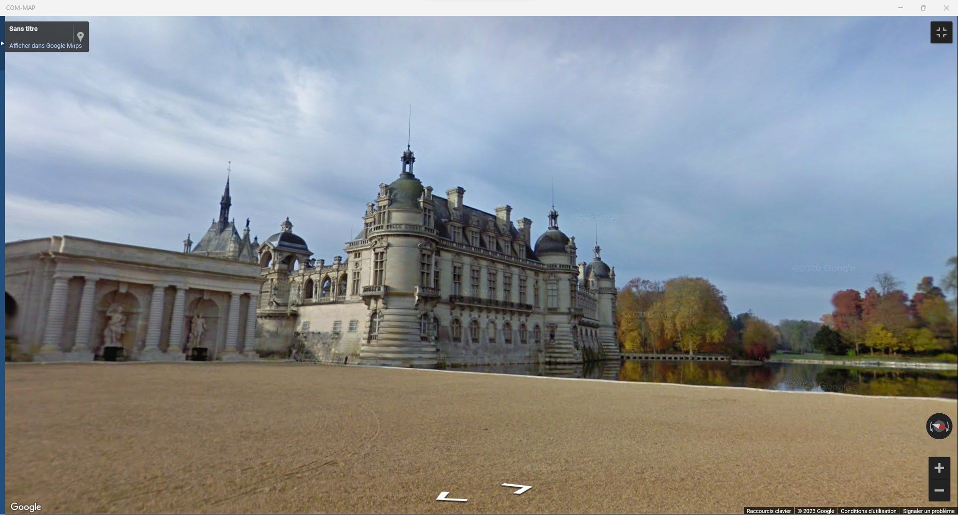
StreetSide © and Street View © images
-
Exploration of the countries providing information (capital, number of inhabitants, surface, ...)
-
Find POIs (HERE ©) along a calculated route
-
Search Wikipedia © articles, Flickr © images and Tripadvisor © sites near an address
-
Import/export GPX and KML files from/to OneDrive ©
-
Locating IP on a map
-
Hiking, cycling and wheelchair route calculation
-
Geotag a photo (EXIF GPS)
-
UNESCO © World Heritage Sites