
GeoMedia® WebMap Mobile
App details
About GeoMedia® WebMap Mobile
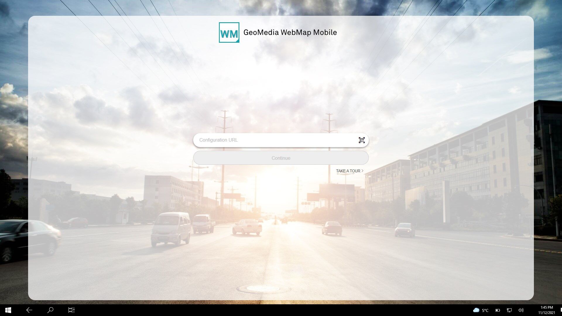
GeoMedia® WebMap Mobile is a phone/tablet-based application for accessing, updating and editing geospatial (GIS) data. The application is used for field and off-site assessment activities, such as pole or vegetation inspection for utilities or public works, traffic light and bridge inspection for transportation authorities, and cell or mobile tower site inspection for communications companies.
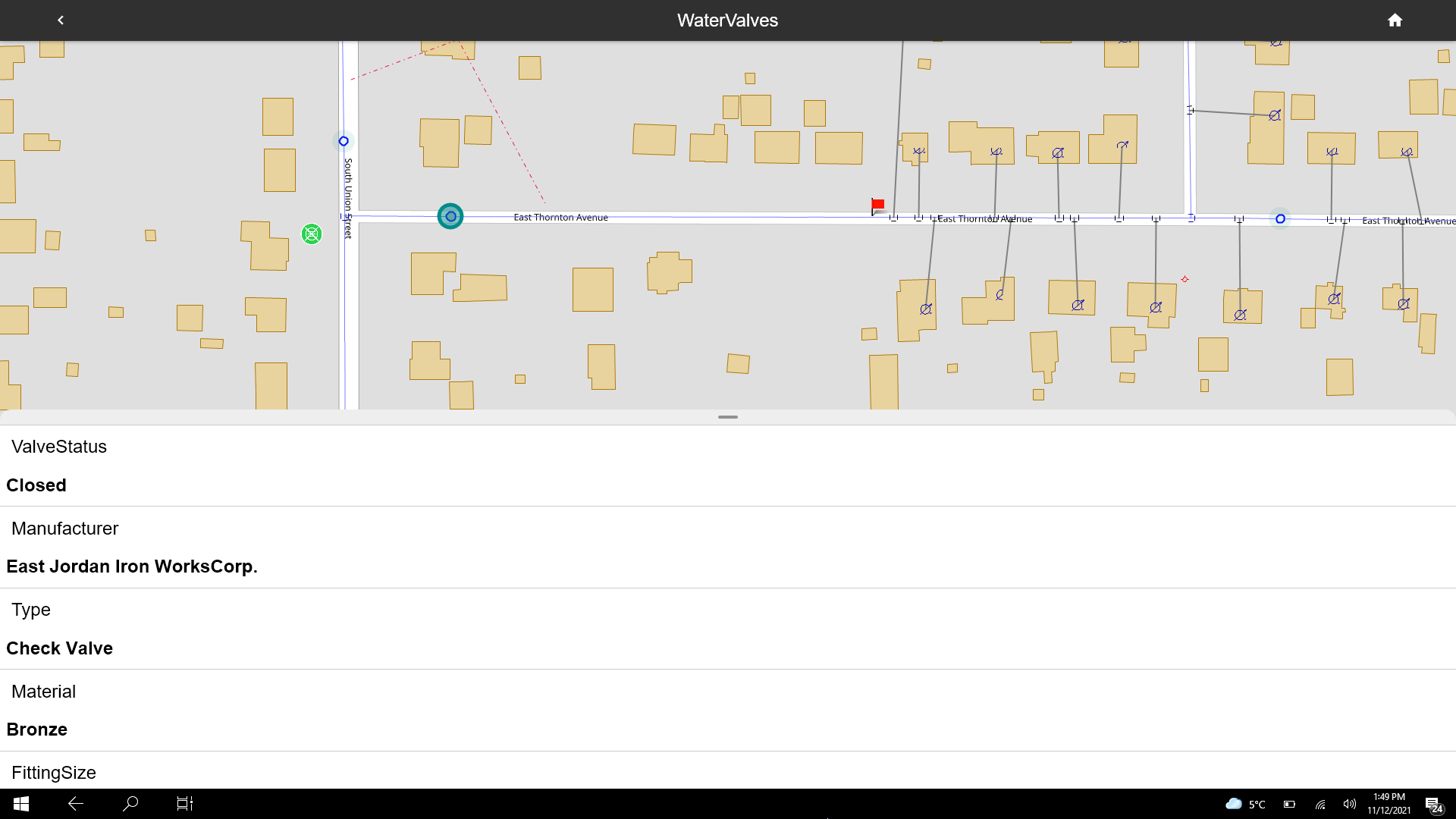
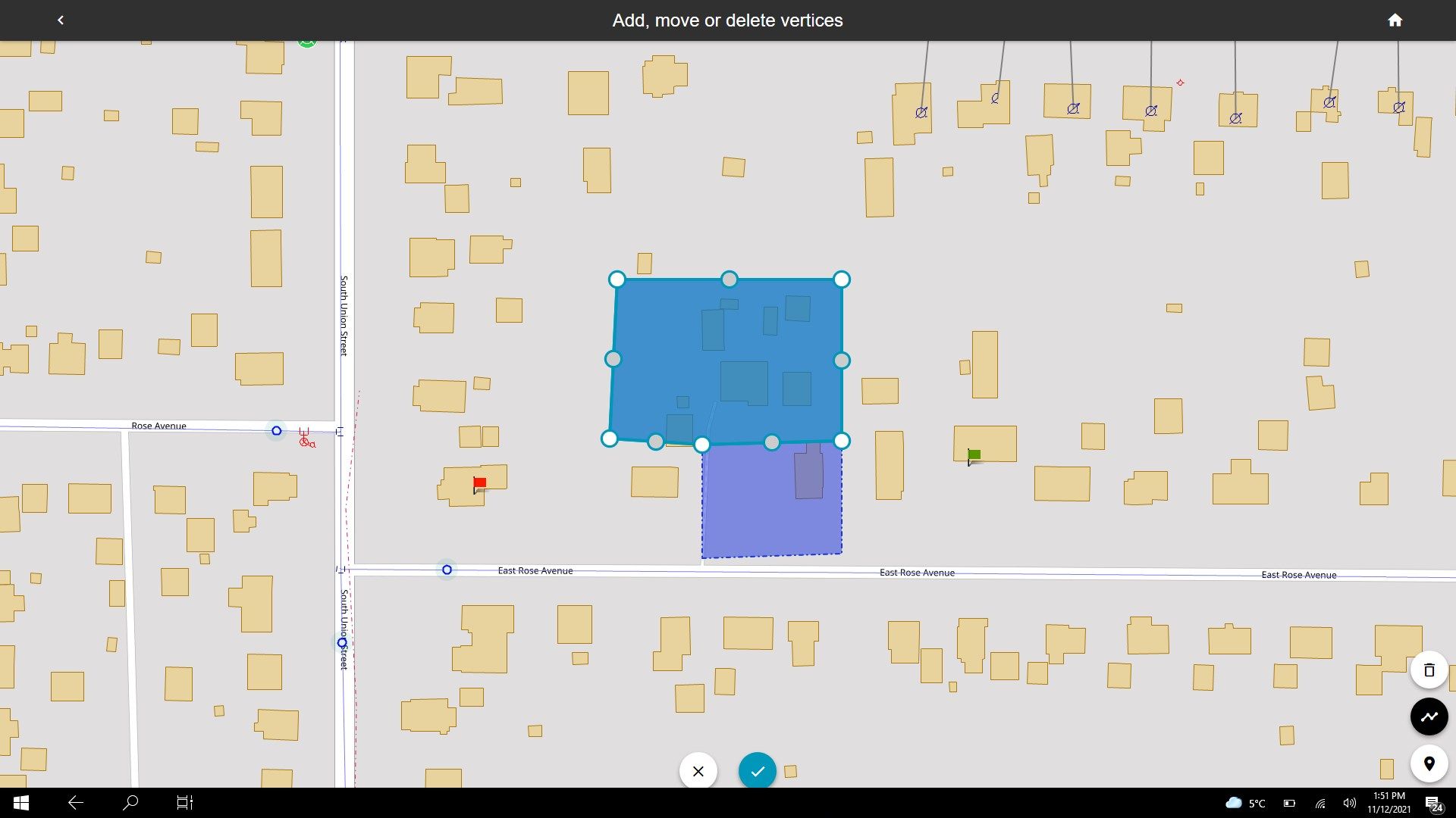
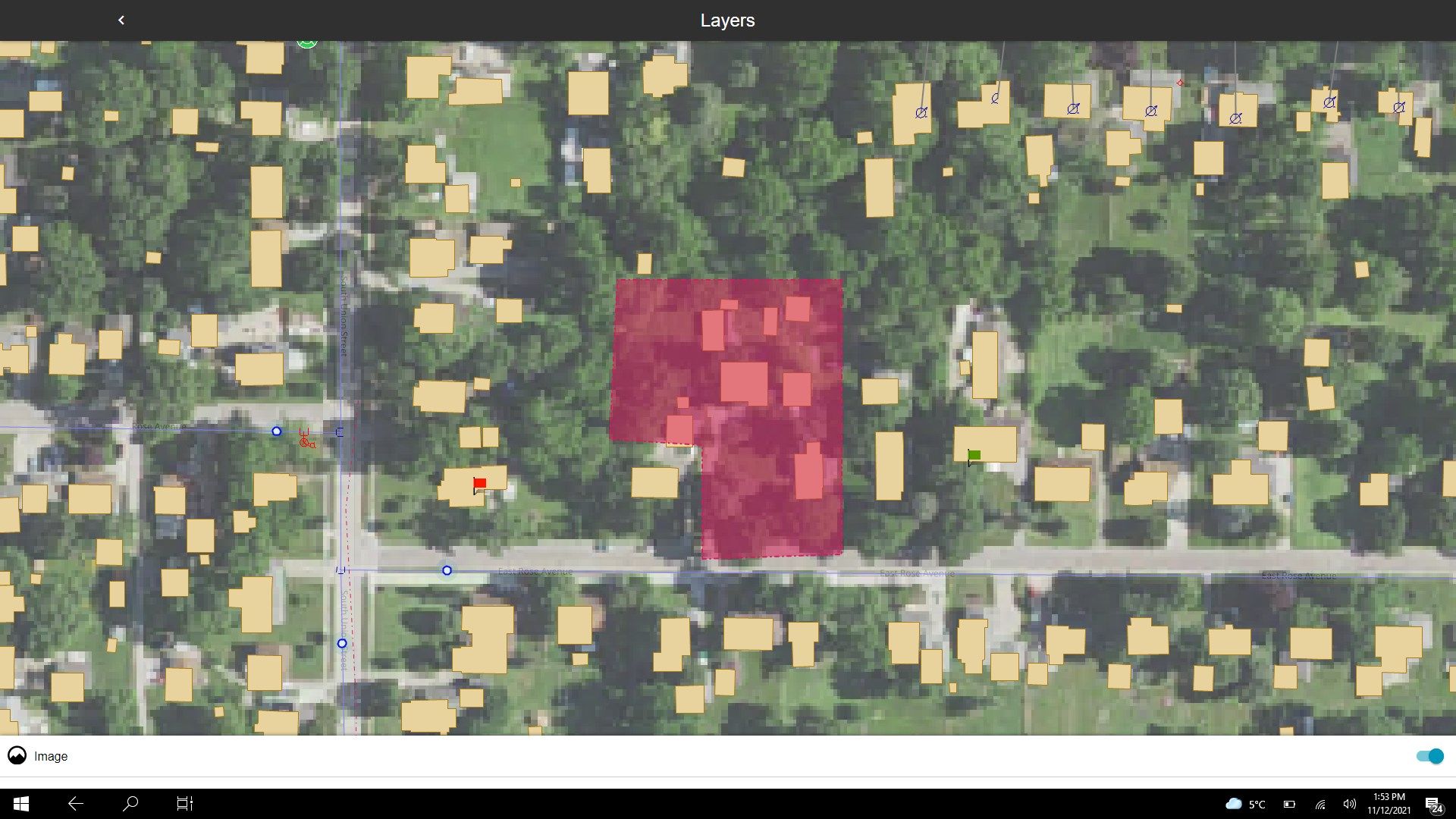
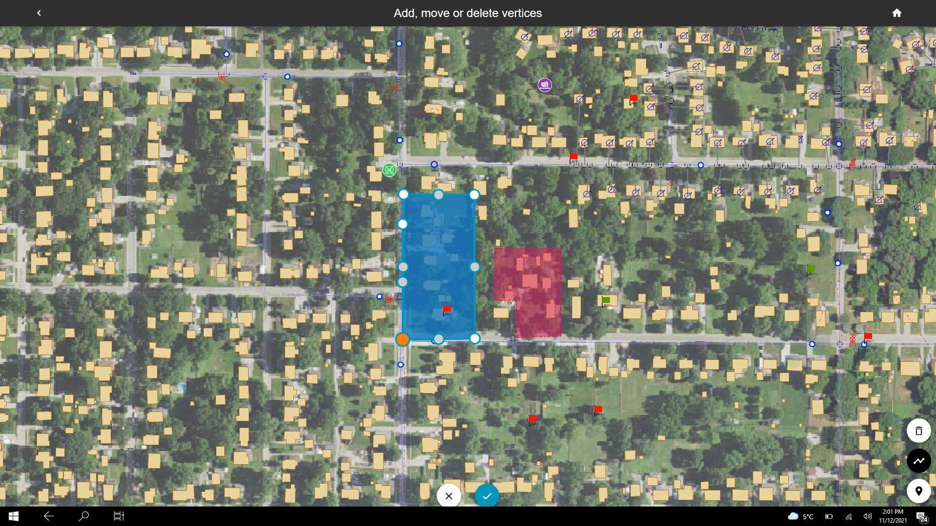
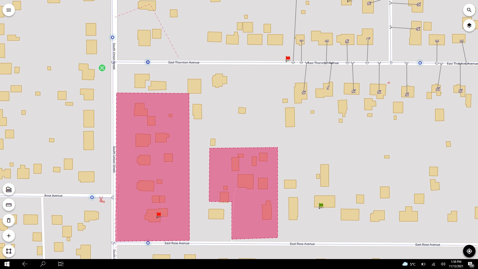
GeoMedia WebMap Mobile provides quick navigation and map display including precise GPS location. With this application, you can view, edit, and update enterprise data from the field, in real time. Feature attributes and geometries modified on the mobile device are available instantly on the GIS platform used by your organization.
GeoMedia WebMap Mobile uses WMS and WFS OGC services for GIS data viewing, and WFS-T OGC service for updating GIS data.
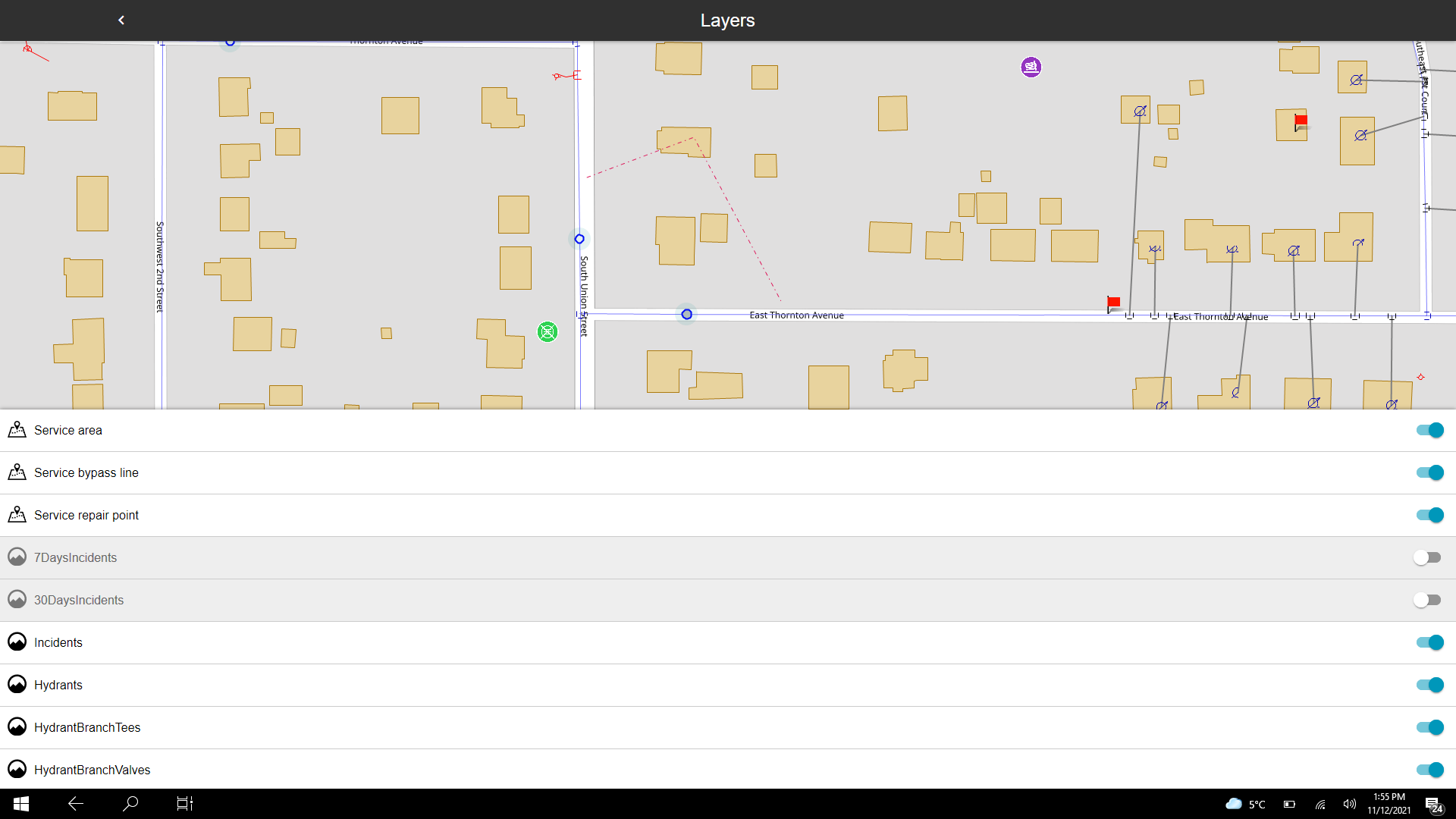
The application can be configured to serve selected data to individual users within a pre-defined area and configured to run in offline mode to support field work with weak or no internet access. The server side of the GeoMedia WebMap Mobile is responsible for serving data. The user configurations is offered as part of GeoMedia WebMap Advantage and Professional.
Key features
-
View, edit, validate, and update your enterprise GIS data from the field in near-real-time.
-
Configure mobile applications to specific workflows for particular personnel and define user permissions.
-
Specify backdrop raster data, other overlays of GIS information, and the vector data that a particular user can see and edit.
-
Open architecture allows updates to become instantly available to any and all GIS platforms you use on the desktop, web, or mobile devices.