GeoOptix Gather

App details
About GeoOptix Gather
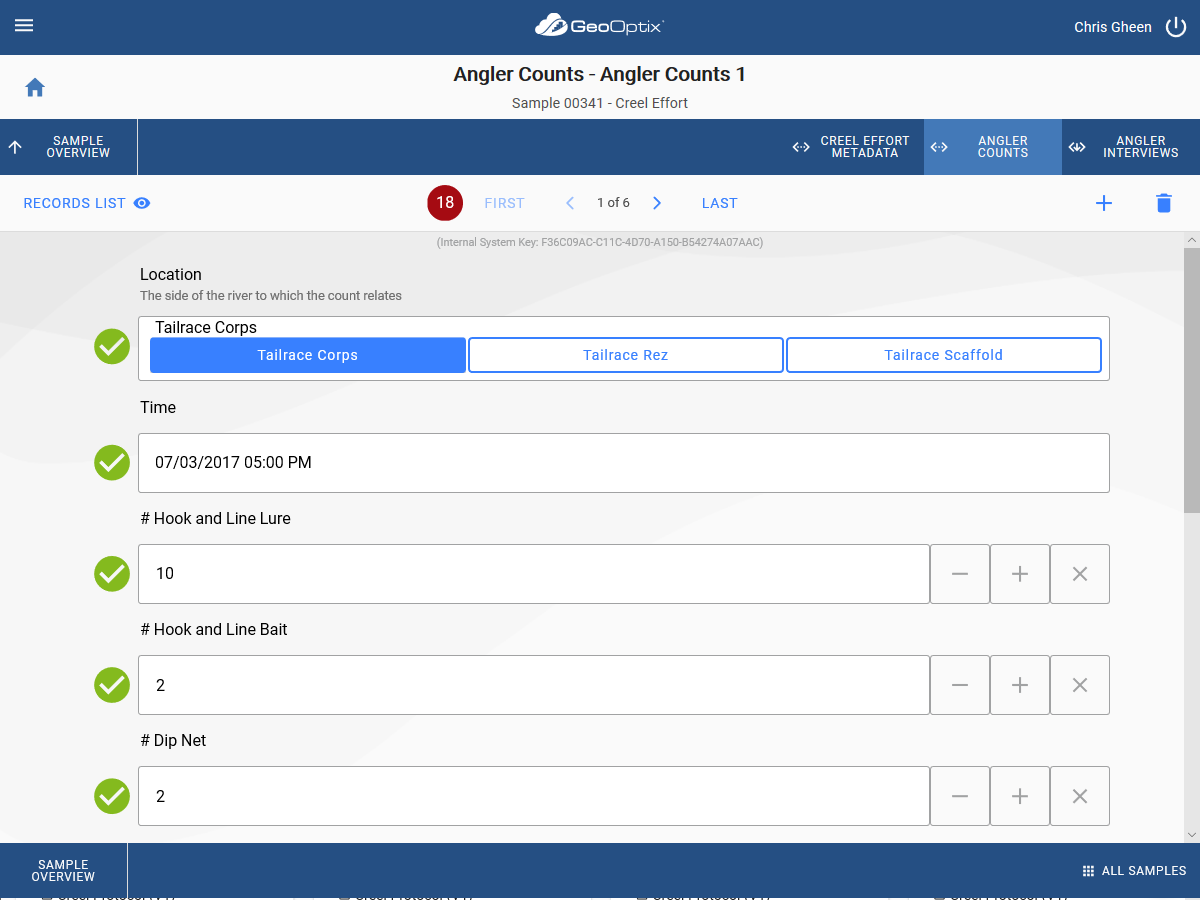
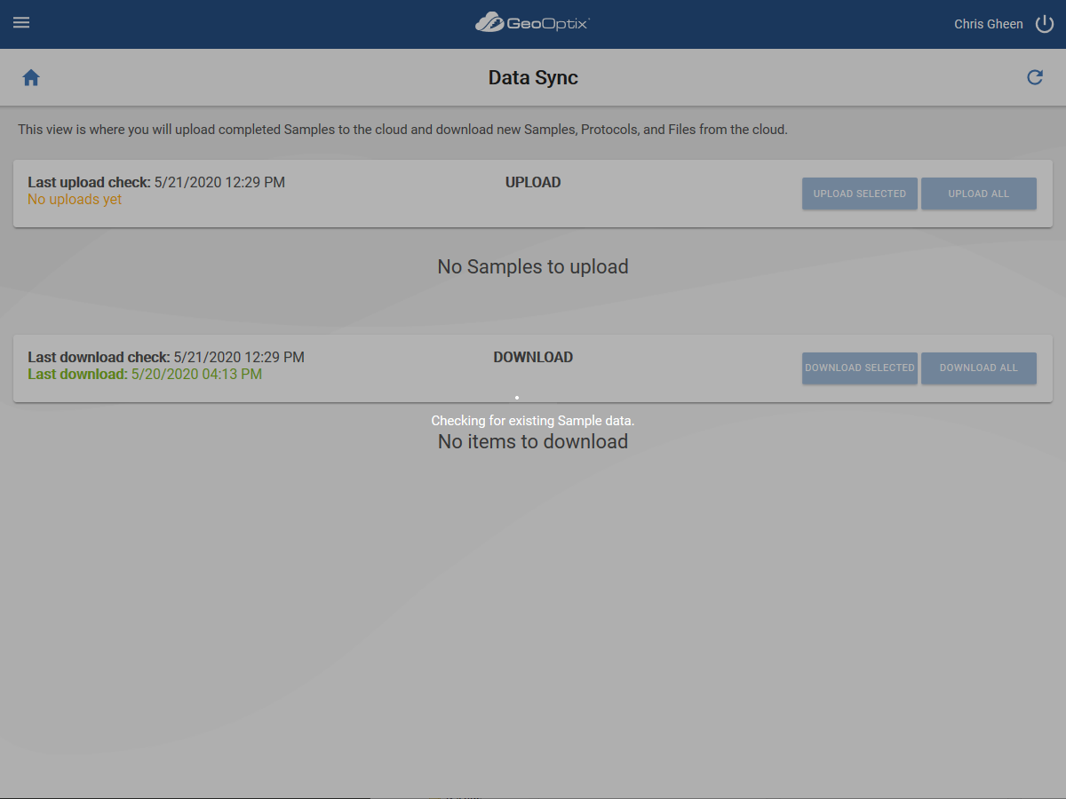
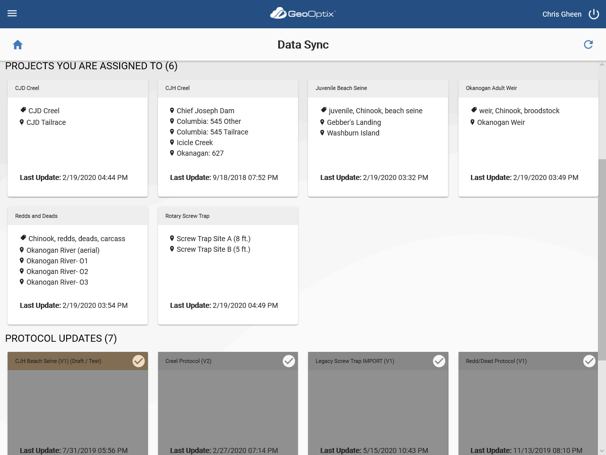
A valuable component of your organization’s GeoOptix® service is a forms-based, GIS map-enabled mobile data collection application called GeoOptix Gather™. It is specifically designed to facilitate the rapid collection of accurate data from field locations. Using the complete GeoOptix platform, it’s a breeze to quickly define the data you wish to collect, identify where you want to collect it, and assign data collection tasks to crew members in the field. With a simple click of a button, crew members can download relevant assignment information and use the Gather app to collect the required data – all of which is validated while in the field to minimize errors. Once the data is field validated, another click of the synchronize button transmits all collected data to the cloud where it can be further processed by GeoOptix and/or your own custom data manipulation processes.
Sorting out how to leverage machine learning, facilitate real-time reporting/visualization, and securely integrate enterprise data via workflows across organizational boundaries, all without creating duplicate and stale copies of spreadsheets or GIS datasets remains a nightmare for most organizations. GeoOptix is designed to help you tame the spreadsheet circus by making your data work for you rather than the other way around.
Note that in order to use the GeoOptix Gather app you must have a GeoOptix account in a program managed by your organization.
Key features
-
Support for online or offline data collection activities
-
Easily accommodates sophisticated, multi-faceted field protocols and methods
-
Support for centrally-managed or ad-hoc data collection in the field
-
Rich set of data types, including photos, picklists, record references, and geometries
-
Integrated and rich metadata via schema definitions that are fully versioned
-
Robust in-field data validation capabilities
-
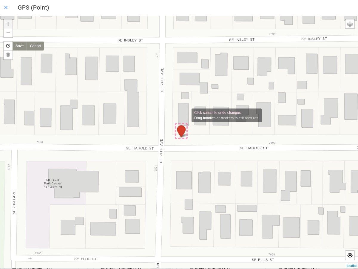
Full support for offline capture of points, lines, and polygons (and their multi-variants)
-
Support for custom offline base maps
-
Simple data synchronization to/from your GeoOptix account
-
Backend integration with popular GIS suites
-
Rich API for custom workflows, analysis, modeling, reporting, and data integrations