
GPS Navigator with Offline Maps
App details
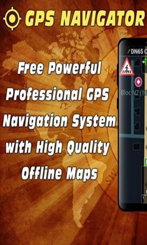
About GPS Navigator with Offline Maps
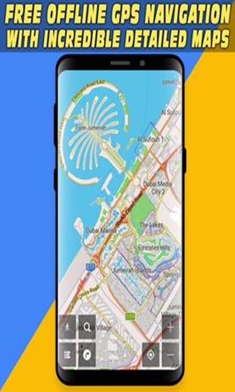
GPS Navigator is an Android GPS app that lets you find places as fast as possible whether you have an Internet connection or not by using offline maps, so you avoid phone charges in your country or abroad.
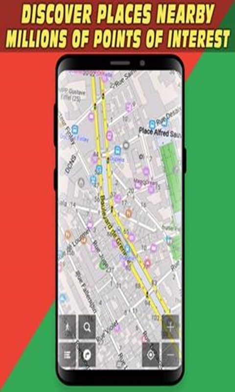
Using the GPS location and GPS tracking features, you can easily find your location in the map and then set the destination point for receiving directions. You can manually add the destination point or you can search for address or just find it from the list of points of interests. The POIs have been sorted in different categories and you can easily find what you are looking for. Some categories are: car aid, food and drinks, food shop, for tourist, fuel, parking, public transport, restaurants, and sightseeing.
We bring you the ultimate travelers app that will help you find historic sites, restaurants, and other entertainment locations within a certain distance that you can reach. You can also type an address and we will let you reach it without mistakes within a few minutes with a very powerful and advanced optical and audio guidance.
Key features
-
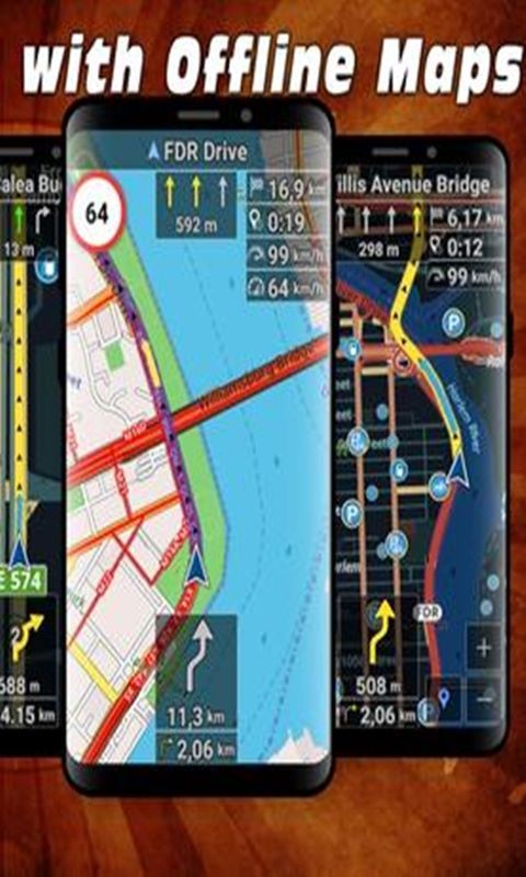
Clear HD display of offline maps that will help you avoid roaming charges
-
It's suitable for when you drive, you go by bike or by foot
-
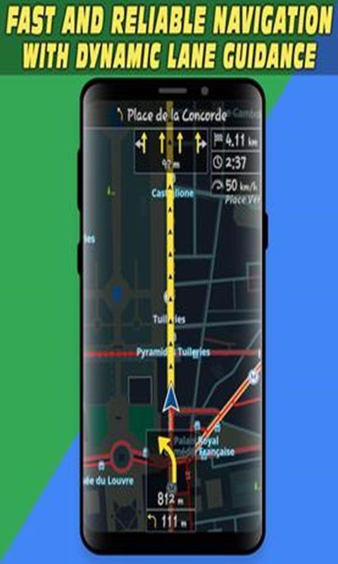
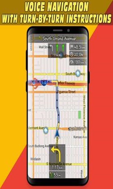
Voice-guided, turn by turn navigation to help you be attentive at the road
-
You can add intermediate points on your itinerary
-
It displays street names and it offers lane guidance so you easily get sign info at motorway exits
-
If you deviate from the route then the app automatically finds another route
-
You can search addresses or places by categories or geographical coordinates
-
It displays stop signs an you can get warnings when exceeding the speed limit.
-
Displays your orientation and position on the map, your speed and even the altitude
-
The map will be aligned to your direction of movement