Land Nav Assistant
App details
About Land Nav Assistant
Land Nav Assistant accepts MGRS (Military Grid) or Latitude / Longitude coordinates and visually navigates you to each point.
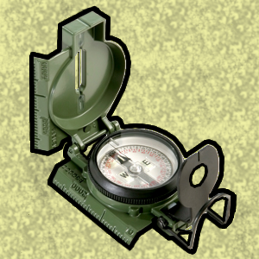
This app was designed with Army, Marine, and other military personnel in mind. Use it to correct your Land Nav technique by analyzing your pace count and tendency to veer left and right.
Input multiple coordinates (8 or 10 digit military grid reference coordinates or latitude/longitude in decimal or DMS format) and the application calculates the azimuth and distance from your current location to the input coordinates. Best of all, it will visually guide you in the correct direction. No compass or pace count necessary.
This app will let you export your list of points to a spreadsheet via email. This makes it easy to transcribe courses for later use.
This app uses the Military Grid Reference System (MGRS) and Latitude / Longitude.
Azimuth can be in either degrees or mils.
While the Course Navigator always displays an 8-digit coordinate, the app is actually using the full coordinate you input. 8 digit coordinates are displayed for simplicity.
D:M:S can be input in the format DD:MM:SS followed by the appropriate direction (NSWE). Default direction is N, W.
DO NOT use this application while learning Land Navigation. Land Navigation is a valuable skill, and should be mastered before using this application. Do not rely solely on this application for navigation, especially when lost. Always be aware of your surroundings.
Key features
-
Input MGRS or lat/lon and the app guides you to your point
-
Works with GPS only - data not required except for maps
-
Export points to a spreadsheet