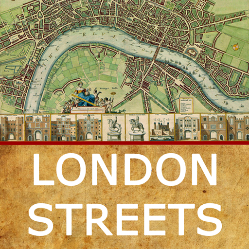
London Streets
Rating
3.8
Reviews
20
App details
About London Streets
London Streets is an immersive and engaging exploration of the origins of the names of City of London streets. The app uses a variety of interaction techniques - from tap/touch to view full-screen images, to pinch-zoom in/out to see more detail, to sideways swipes to reveal more images and the use of a lens able to “see through time”.
London Streets includes:
- nearly 70 historic streets in the City of London and surrounding areas
- over 100 historic and contemporary images
- 5 historic maps (from Roman times, the 16th, 17th, 18th and 19th centuries)
- an “easter egg” of a panoramic view of London from 1616
- 3 “rediscovered” Victorian-style inventions (an early CCTV system, a rare example of a nearly-working Scroll-O-Scope, and a curious invention that automates interactive images of old London)
Optimised for larger screens and more recent devices - and at its best on tablets.
London Streets was developed at the Centre for Creative Computing, Bath Spa University, UK as part of continuing research into user interaction and the past of place. Designed, programmed and published by VoeTek Ltd using the Corona SDK.
Key features
-
nearly 70 historic streets in the City of London and surrounding areas
-
over 100 historic and contemporary images
-
5 historic maps (from Roman times, the 16th, 17th, 18th and 19th centuries)
-
an "easter egg" of a panoramic view of London from 1616
-
3 "rediscovered" Victorian-style inventions (an early CCTV system, a rare example of a nearly-working Scroll-O-Scope, and a curious invention that automates interactive images of old London)