MarinePlotter
App details
About MarinePlotter
Version 8.5.14.0
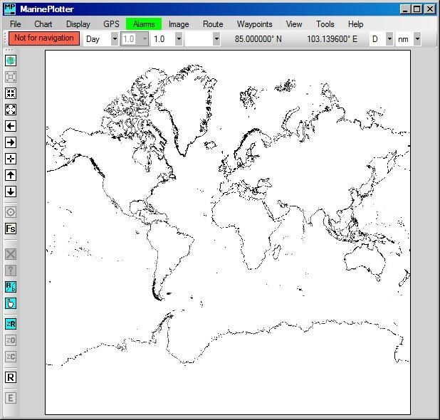
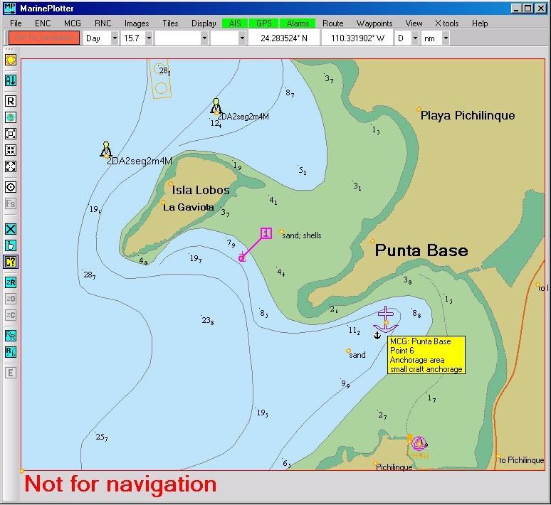
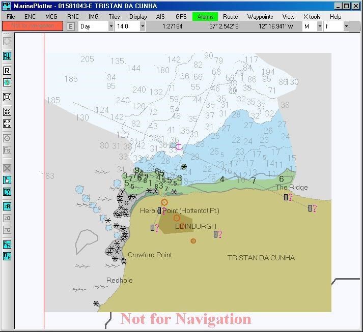
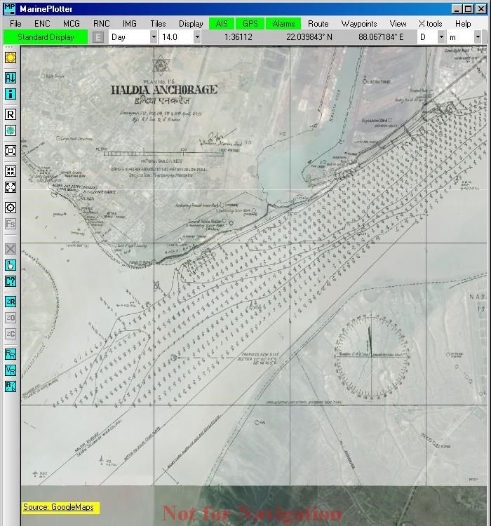
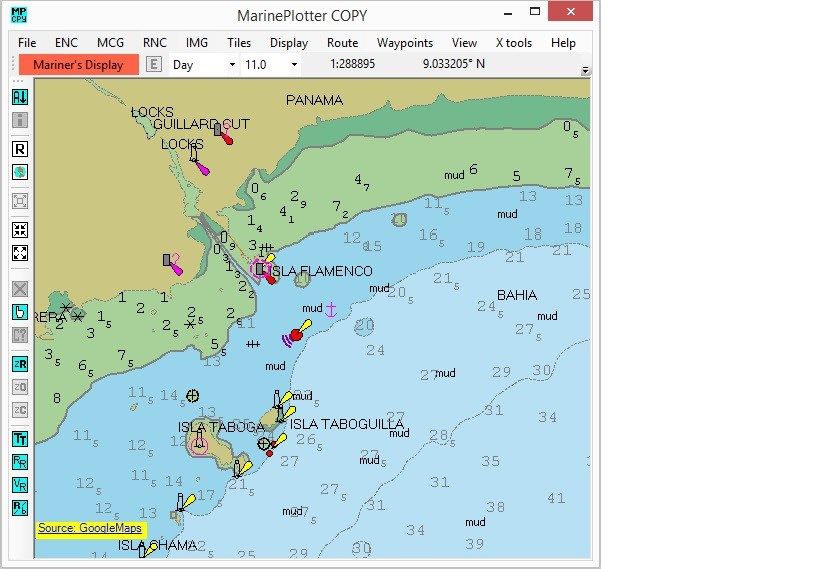
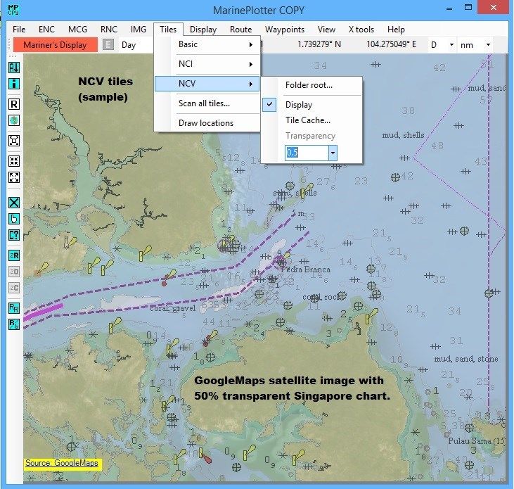
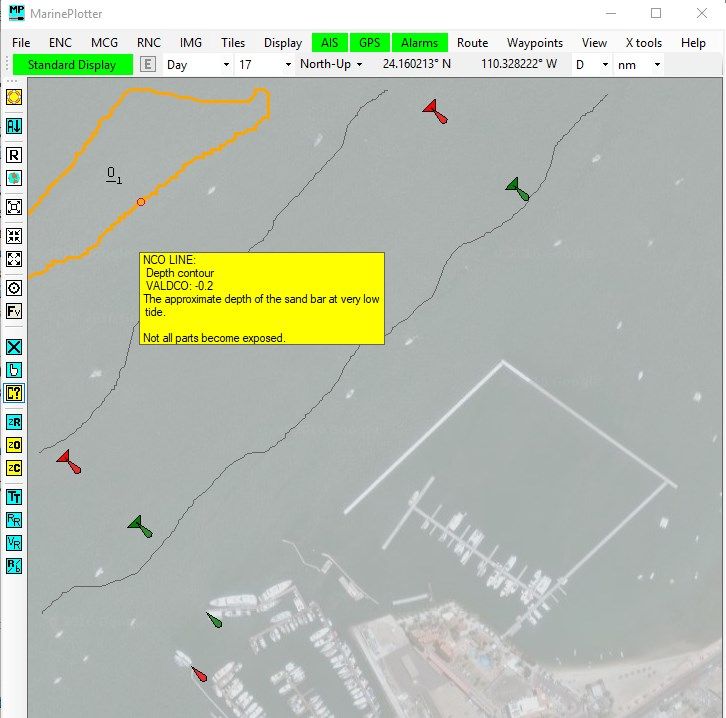
Free software for displaying Electronic Nautical Charts (ENC), Raster Nautical Charts (RNC), and Geo-referenced images (IMG) as charts. The program supports the creation and display of Mariner’s Cruising Guides (MCG) vector charts, Nautical Chart Image (NCI) tiles, Nautical Chart Overlay (NCO) files, Nautical Chart Vector (NCV) tiles, and Nautical Chart Object/Overlays (NOC) files. The program can also display optional tile based satellite images, waypoint locations and routes. The program can display multiple semi-transparent charts over the tile base images. The program accepts NMEA GPS sentences from most GPS receivers that connect to a USB port. The program also accepts NMEA AIS sentences from most AIS receivers connected to the USB port.
Key features
-
Aid to navigation of small ocean going pleasure craft.
-
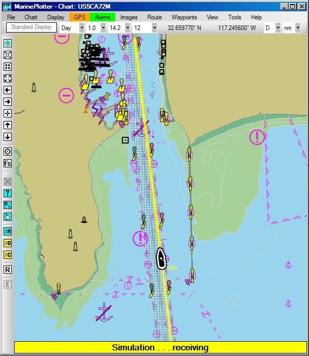
Your vessel's position plotted via GPS input.
-
Other vessel positions plotted via AIS input.
-
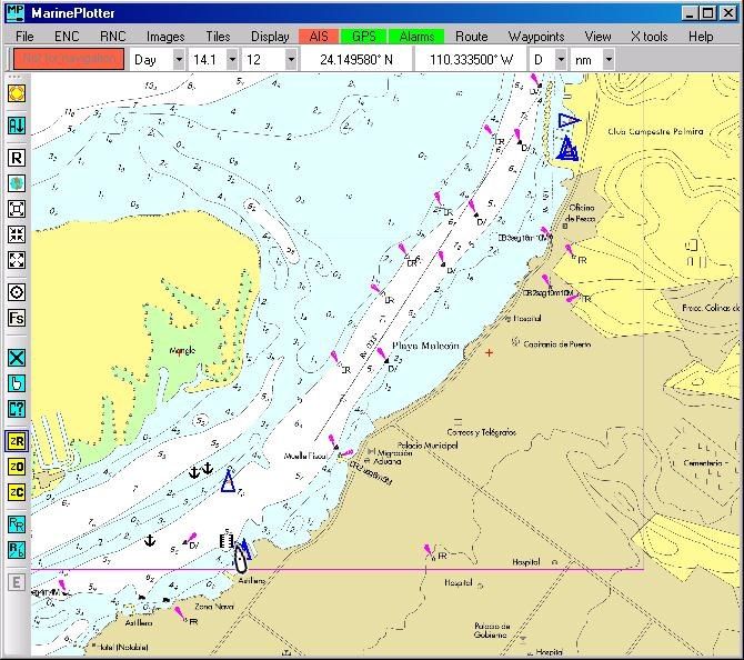
Uses non-encrypted optional nautical charts or geo-referenced images.
-
Plots semi-transparent charts over satellite images.
-
Contains multiple alarm types and alarm settings.
-
Create and display custom waypoints.
-
Create and display custom routes.
-
Create custom vector based nautical charts..