
RandoCartes
Rating
5
Reviews
1
App details
About RandoCartes
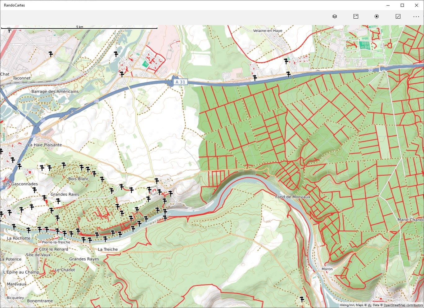
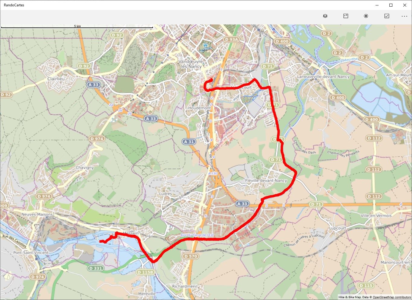
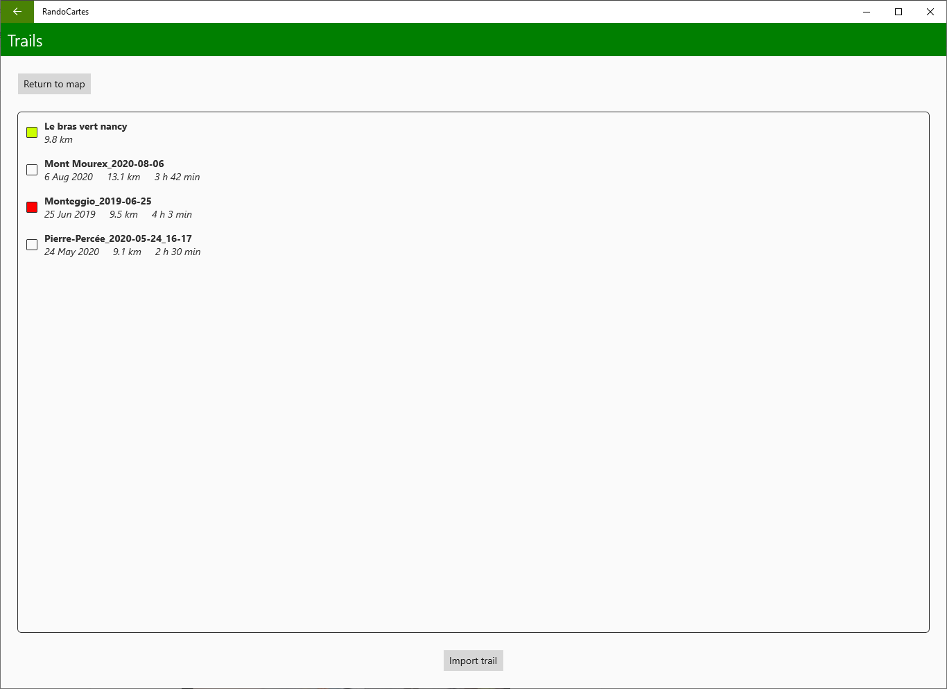
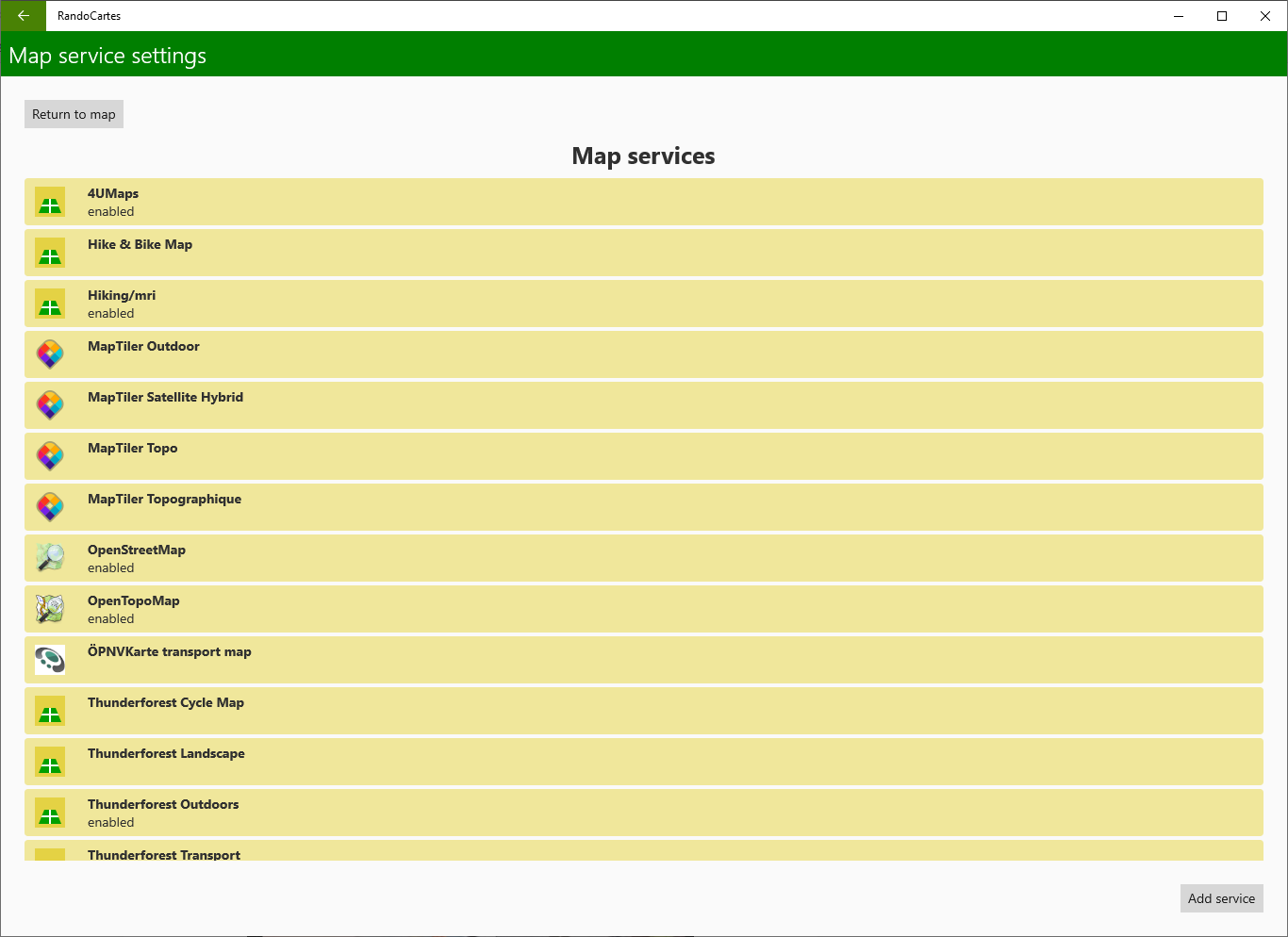
An application for displaying maps for walking and hiking. Maps can be stored offline for when you have no internet connection. OpenStreetMap and several other services are available by default, or you can add others by supplying the address of a WMTS service. You can display GPX files and create them from your own walks using GPS tracking.
Key features
-
Different services: 4UMaps, Hiking/MRI, MapTiler, OpenStreetMap, OpenTopoMap, ÖPNVKarte, Thunderforest, WanderReitKarte, Waymarked trails
-
Import of GPX files
-
Export of GPX files
-
Storage of maps offline for when you have no internet connection.