
Satellite Imagery
Rating
3.7
Reviews
4
App details
About Satellite Imagery
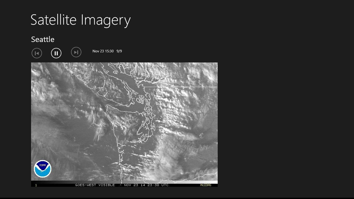
The Satellite Imagery app provides a quick source of advanced weather information from the National Oceanic and Atmospheric Administration (NOAA) for mobile users on the go.
Key features
-
Displays up-to-date satelllite imagery from the NOAA.
-
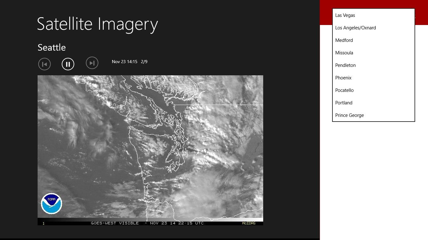
Examine satellite data across Canada and USA.
-
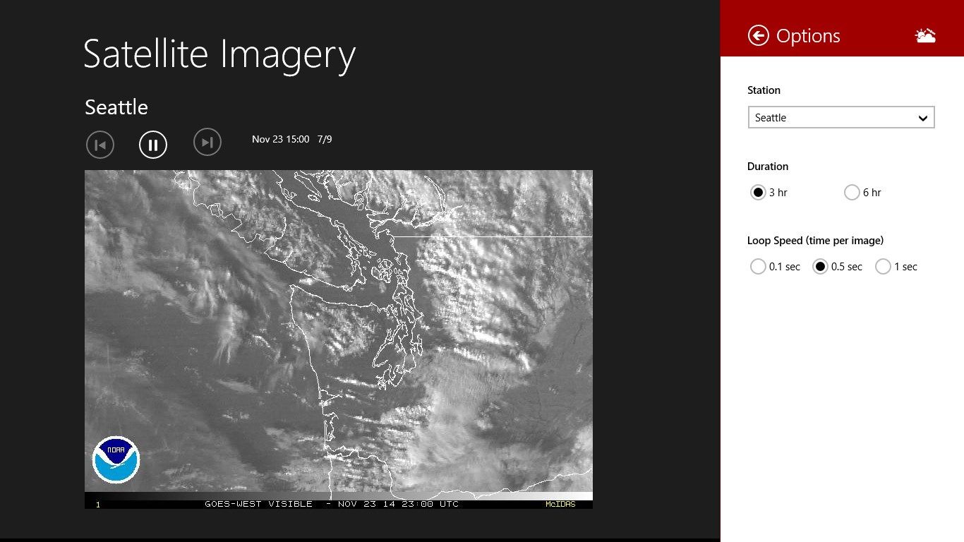
Multiple imagery enhancements, including visible, infrared, RGB, and rainbow.
-
Manual and automatic navigation through images in the loop.
-
Changes to selections are saved automatically.