Weather Satellites Images
Rating
3.7
Reviews
301
App details
About Weather Satellites Images
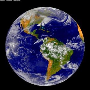
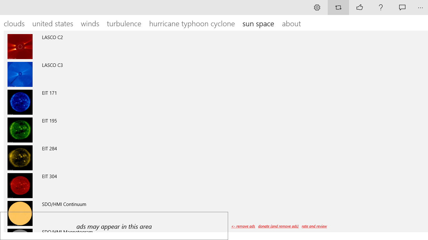
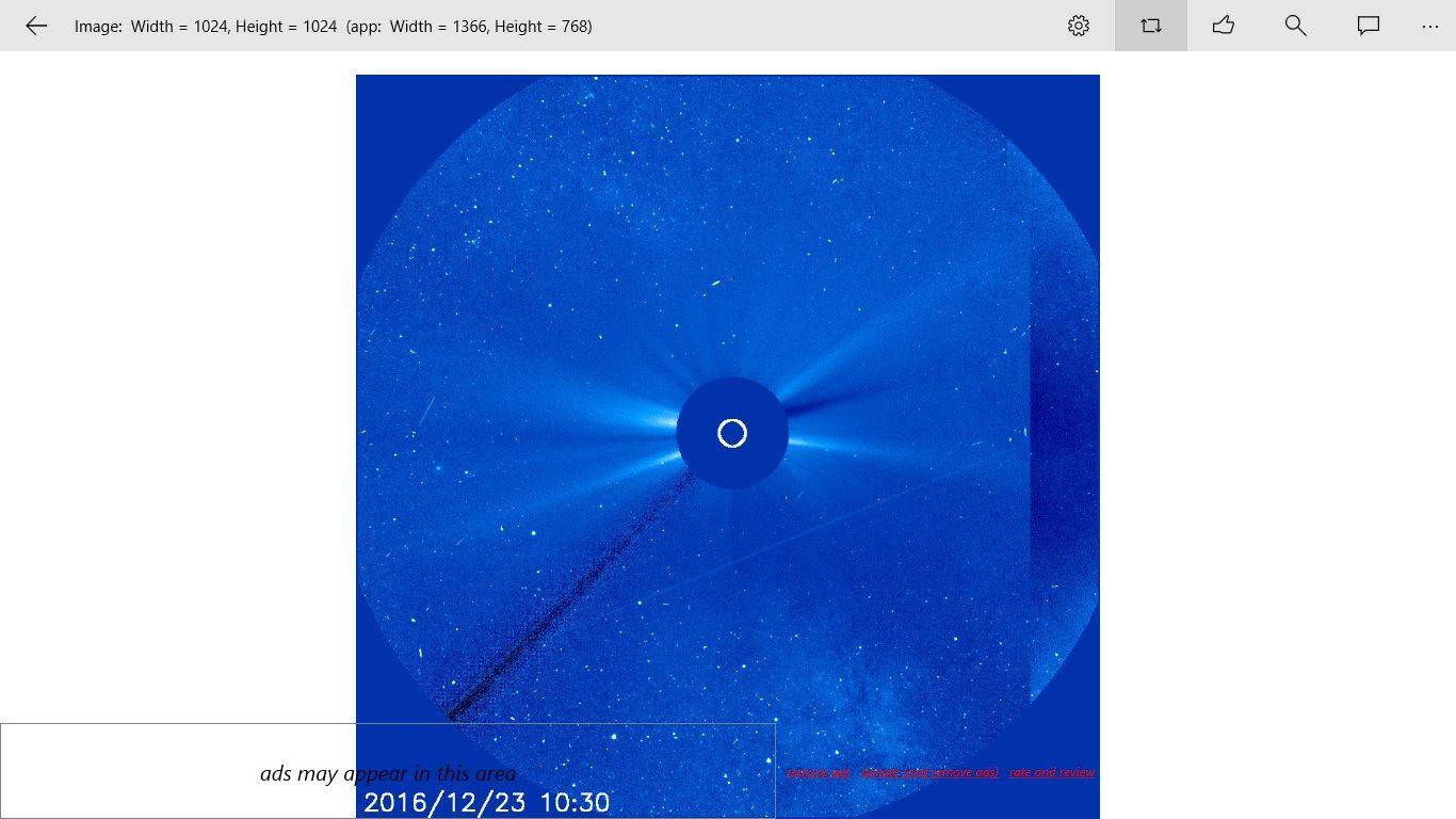
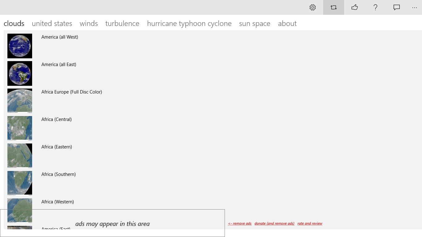
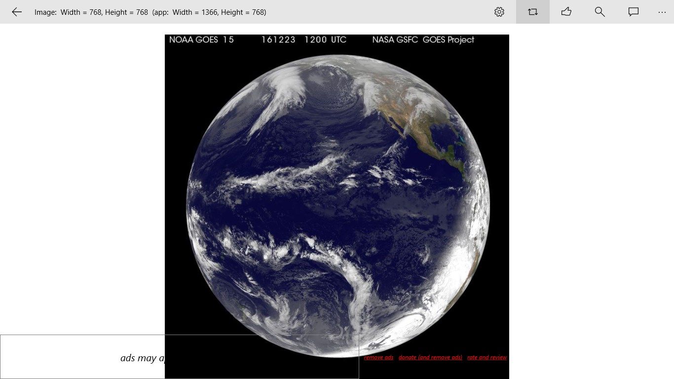
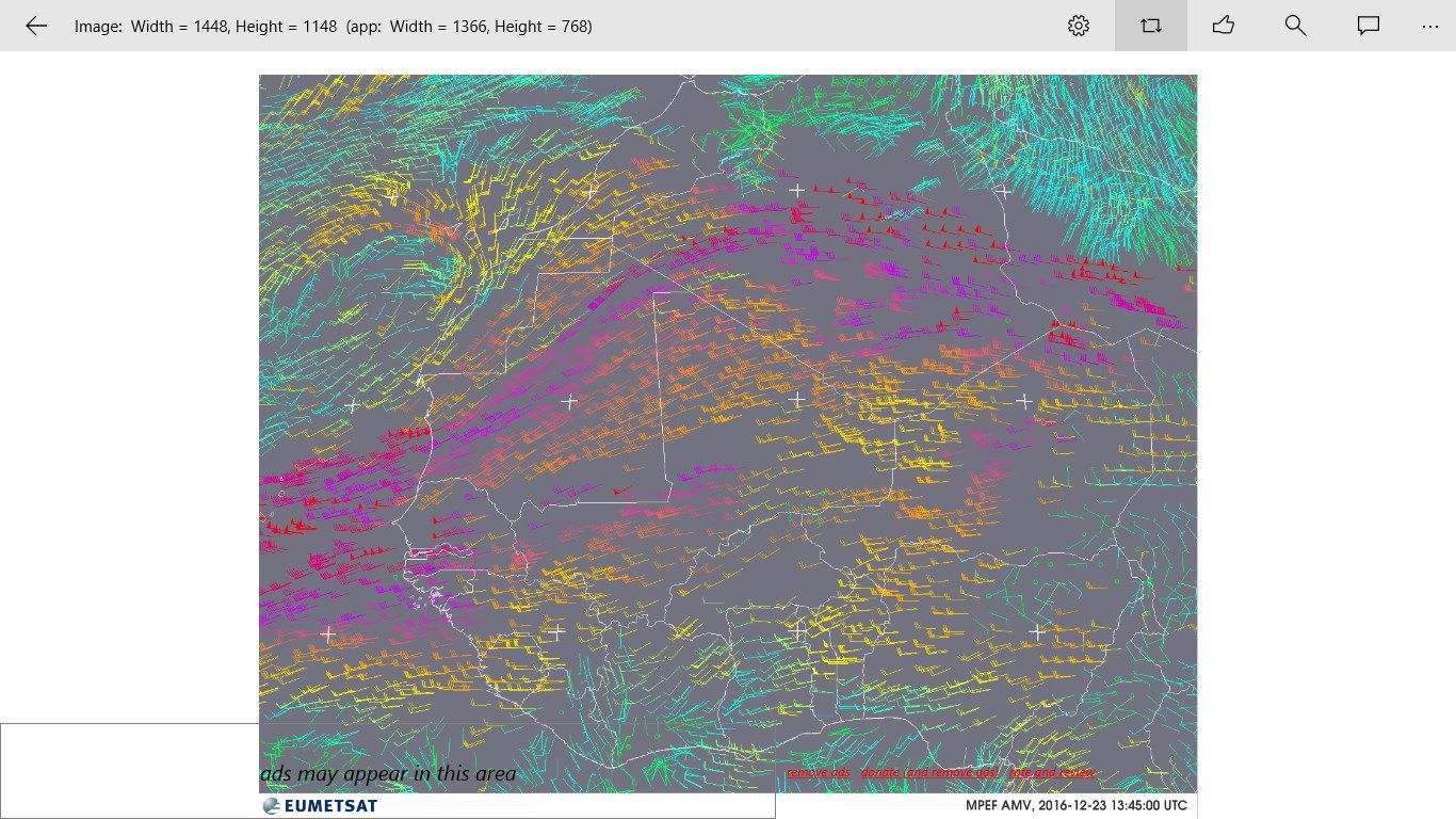
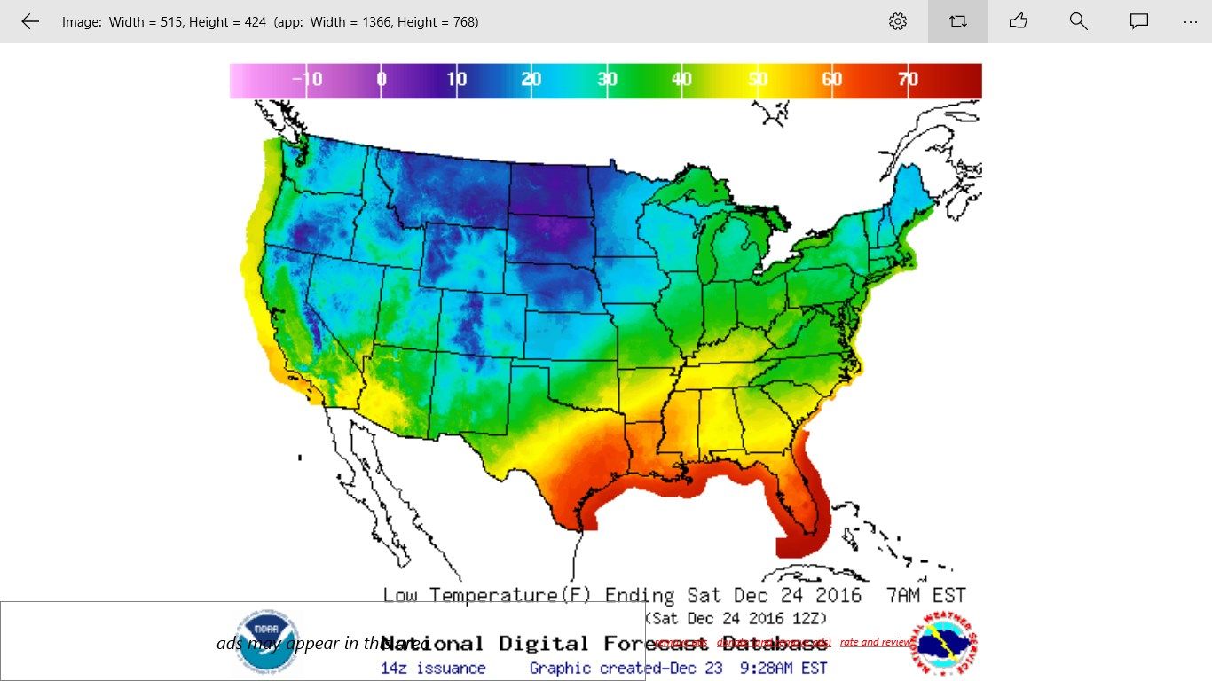
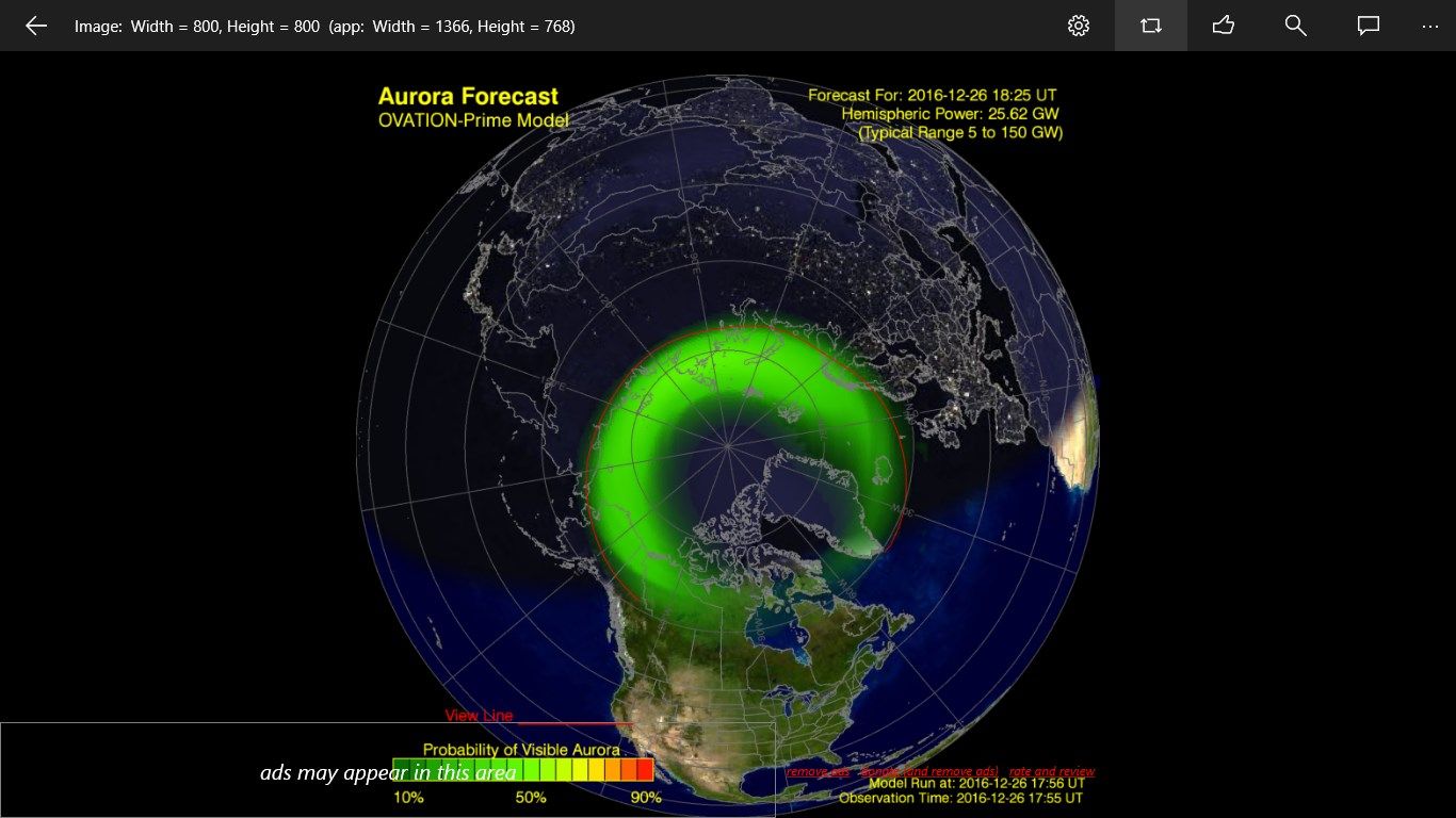
Weather Satellite provides the most up to date weather images for clouds and wind taken from orbiting satellites.
Types of images include:
- high-lows
- clouds
- temperatures
- warnings
- water
- hurricanes typhoons tornados cyclones
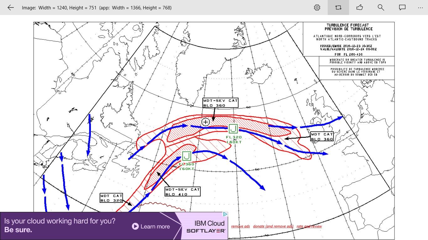
- Atlantic turbulence east and west bound
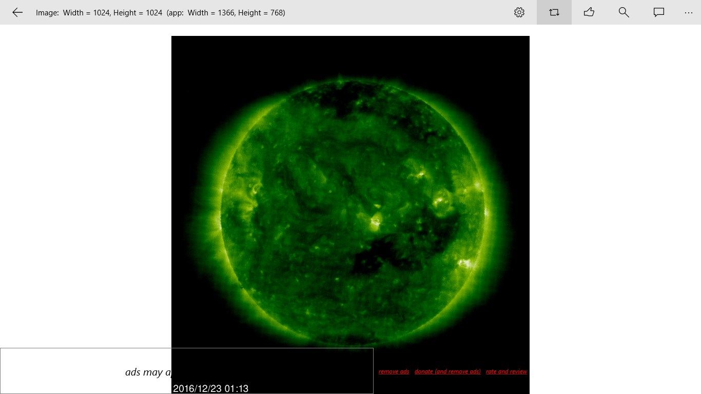
- sun space
- sunspots
- aurora northern and southern hemisphere viewable line
- Himwari latest and loop
- regions: pacific northwest, Caribbean, great lakes, gulf of mexico, northeast, northern Rockies, Puerto Rico, pacific southwest, southeast, upper Mississippi valley, lower Mississippi valley, tropical Atlantic, and USA Atlantic coast
Areas shown include:
- Africa
- Antarctica
- Asia
- Australia
- Europe
- India
- Middle East
- North America
- South America
Privacy Policy - This application does not save nor send any personal information.
Key features
-
weather satellite images
-
sun space images
-
aurora viewing map and sun indexes